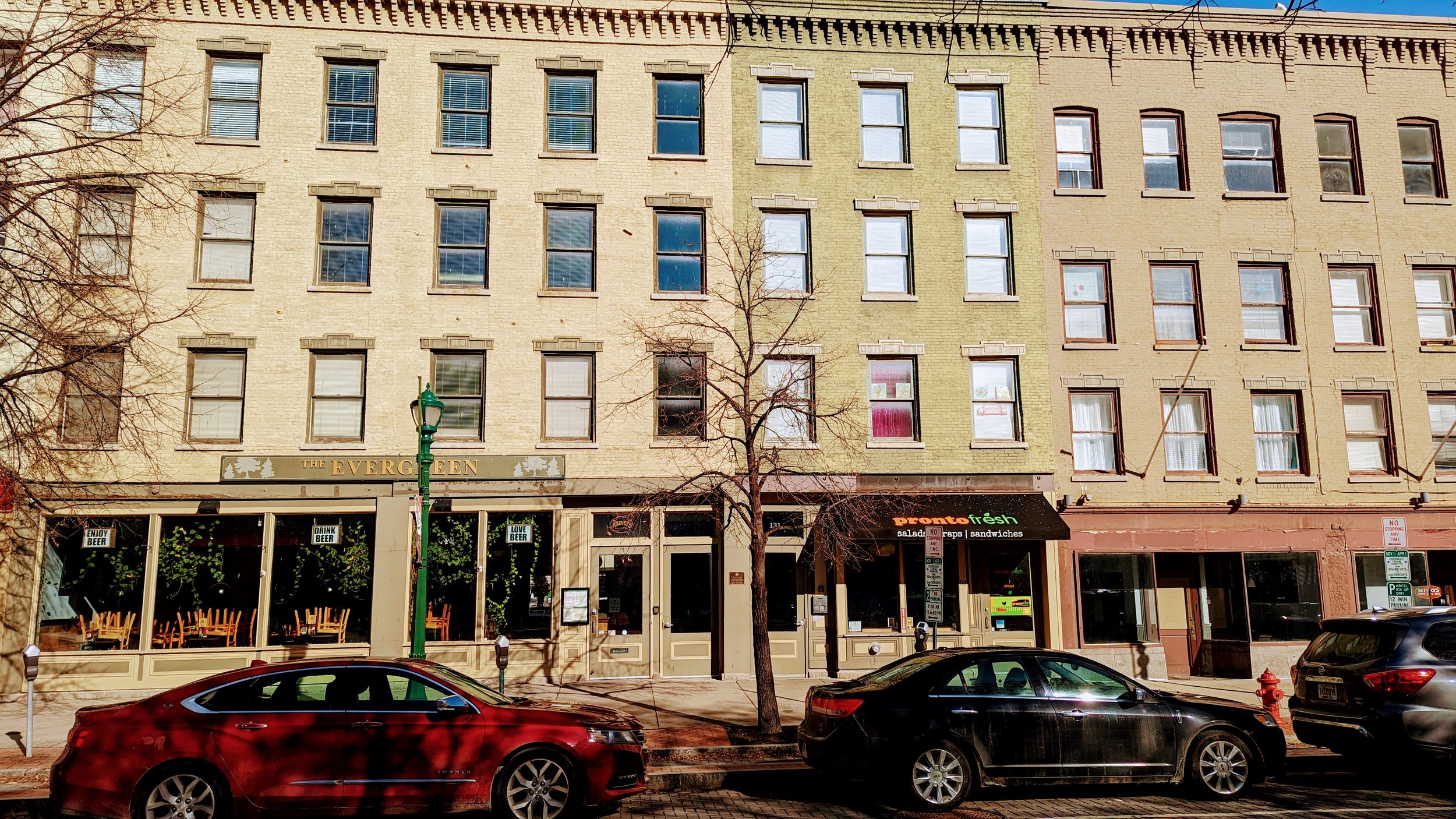
The street grid through Downtown Syracuse continues to be built around a canal that was removed nearly 100 years ago. At that time, Water St acted as a vital access road for the many businesses that lined the Erie Canal. Many of the remaining buildings from that time still front Water St with more utilitarian doors and windows facing Erie Blvd. Today, outside of the blocks around Hanover Square, Water St is a minimally used street surrounded by parking lots, underused and vacant parcels, and open green space. At the same time, it is a key portion of the Empire State Trail (EST), a premiere 750 mile bicycle trail that connects the entire state. It is time to rethink Water St and the area around it.
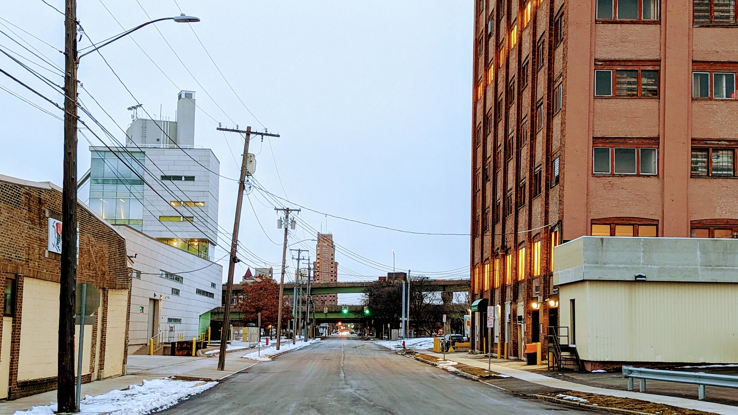
First let’s look at the street’s current use. According to NYSDOT’s Traffic Data Viewer, an average of 700 to 2,000 vehicles use the street on a daily basis, which is a fairly light volume. Most of these vehicles are utilizing the parking lots that front the corridor. To accommodate the EST, standard painted bike lanes function for the majority of the corridor, with sharrows occupying the three blocks between State St and S Salina St, with the block off of S Salina St utilizing a protected contra-flow bike lane as well. For people on foot, there’s even less infrastructure. The sidewalk network is in pieces, with parts overgrown as you move further away from Downtown Syracuse. The street may attempt to serve all users but it struggles to serve any of them well.
So what if we decided to focus on just the active modes of transportation?
By removing cars from Water St, the corridor opens up to possibilities. A shared use path, typically 10 to 12 feet wide, could be shifted to the center of the corridor while the rest of the right-of-way is filled with greenery, similar to the characteristics of the EST further east down Erie Blvd. This change creates the opportunity for a truly urban linear park, similar to portions of the Onondaga Creekwalk, but more ambitious in some ways.
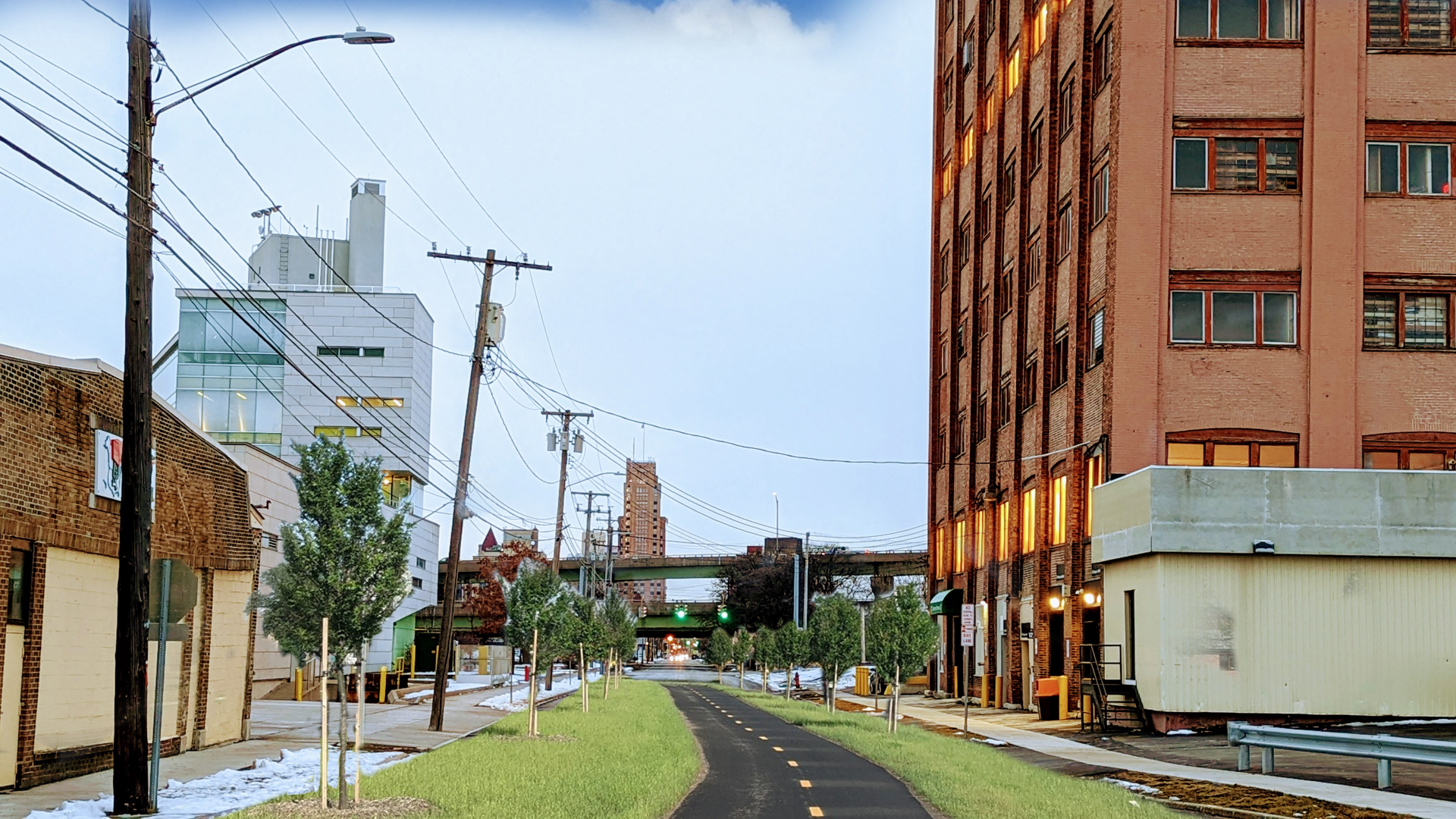
The Onondaga Creekwalk through Downtown Syracuse leaves a bit to be desired. It forces cyclists off of their bikes as they must share sidewalks instead of having a dedicated off-road path. Its circuitous route, a necessity due to the space constraints associated with trying to follow the path of the creek, is less desirable than the straight shot that Water St offers. Instead, we will look more towards the second phase of the Creekwalk which runs through primarily park-like conditions and minimizes street crossings. While a Water St linear park will require far more street crossings, we can alter the function of those intersections through the use of raised intersections, which help to slow drivers as they pass, as well as switching many of them from signalized intersections to stop signs. As Jeff Speck notes in Walkable City, stop signs are preferable to traffic signals from a safety perspective, for all mobility methods.
With a linear park in place, the conversation turns to development along its path. Looking at ReZone Syracuse, most of the land fronting Erie Blvd will be zoned as MX-3, which encourages mixed-use development. Large portions of the land fronting Water St on the southside of the street is zoned as MX-4, again mixed-use but at a higher level of density. Three blocks, between University Ave and S Beech St are zoned for open space. While this open space preservation makes sense with the current configuration of the street network, by shifting Water St into open space, the narrow lots currently zoned for it should be converted for mixed-use development.
The development along Water St will be unique in that they can be built truly for car-free households, opening up to the linear park and providing ample access to transit along Erie Blvd. To ensure this opportunity is seized, secure bike parking should be thoughtfully included in every development along the route, both for residents and visitors to the commercial spaces. As the major entryway into Downtown Syracuse along the EST, providing ample accommodations for cyclists is vital to attracting cycling tourists into the City. It is also a way to make it easier for city residents to embrace a car free or car light lifestyle, saving each thousands of dollars per year.
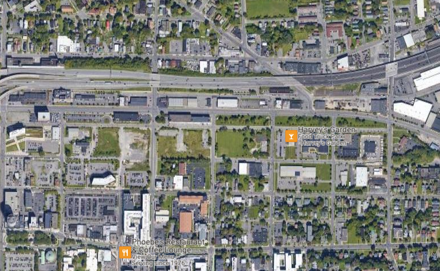
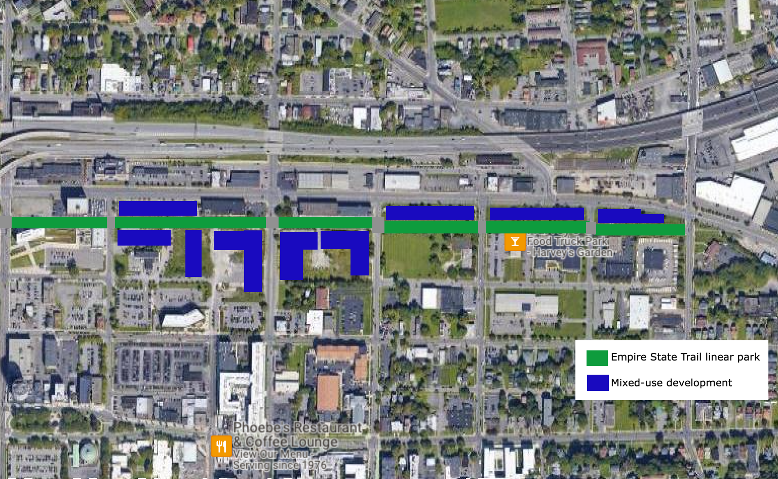
Some parking lots and car centric businesses currently line the corridor, including the Syracuse Center for Excellence. While the Center for Excellence is an experiment in sustainable building practices, as well as energy and water use, it does not fully embrace more sustainable transportation methods, with the building utilizing a large parking lot and only providing a handful of bike racks. Some businesses, including the U-Haul rental and storage office, may need to be completely rethought to encourage more desirable uses near our city’s center. The building currently used by U-Haul is structurally deficient on many floors, which might make demolition a requirement for redevelopment.
The area currently covered by I-81 will also be open for development once the viaduct is removed. Auto-oriented businesses must be avoided in this area. Drive-thrus, automotive repair shops, and car sales should be excluded in favor of street fronting businesses, which may still include chain restaurants and businesses, but utilizing more urban oriented designs. College Town in Rochester, NY is a good example of this style, but the development still relies heavily on an inner parking lot. Some parking will need to be built to make this corridor function, but it should be minimized.
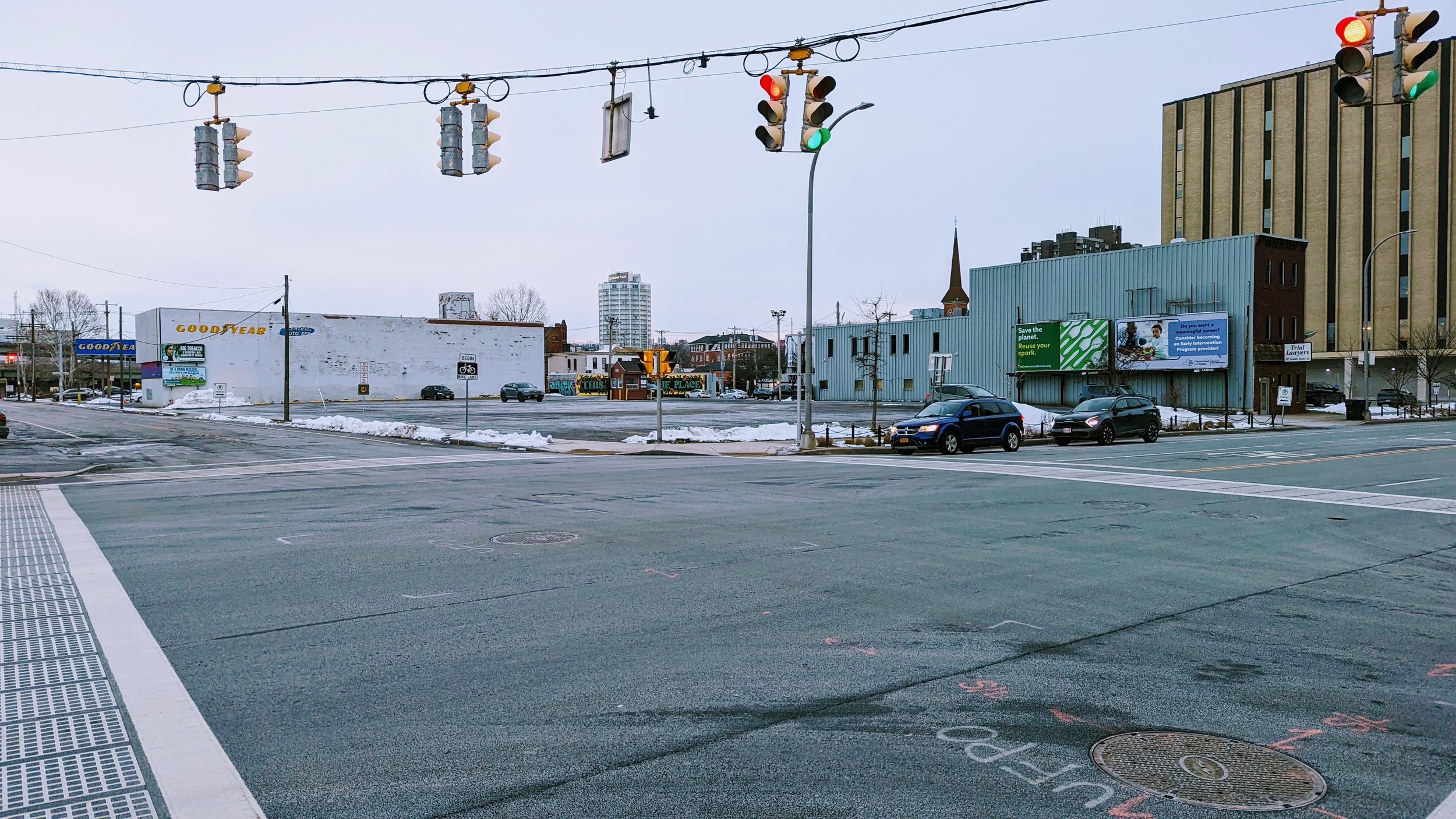
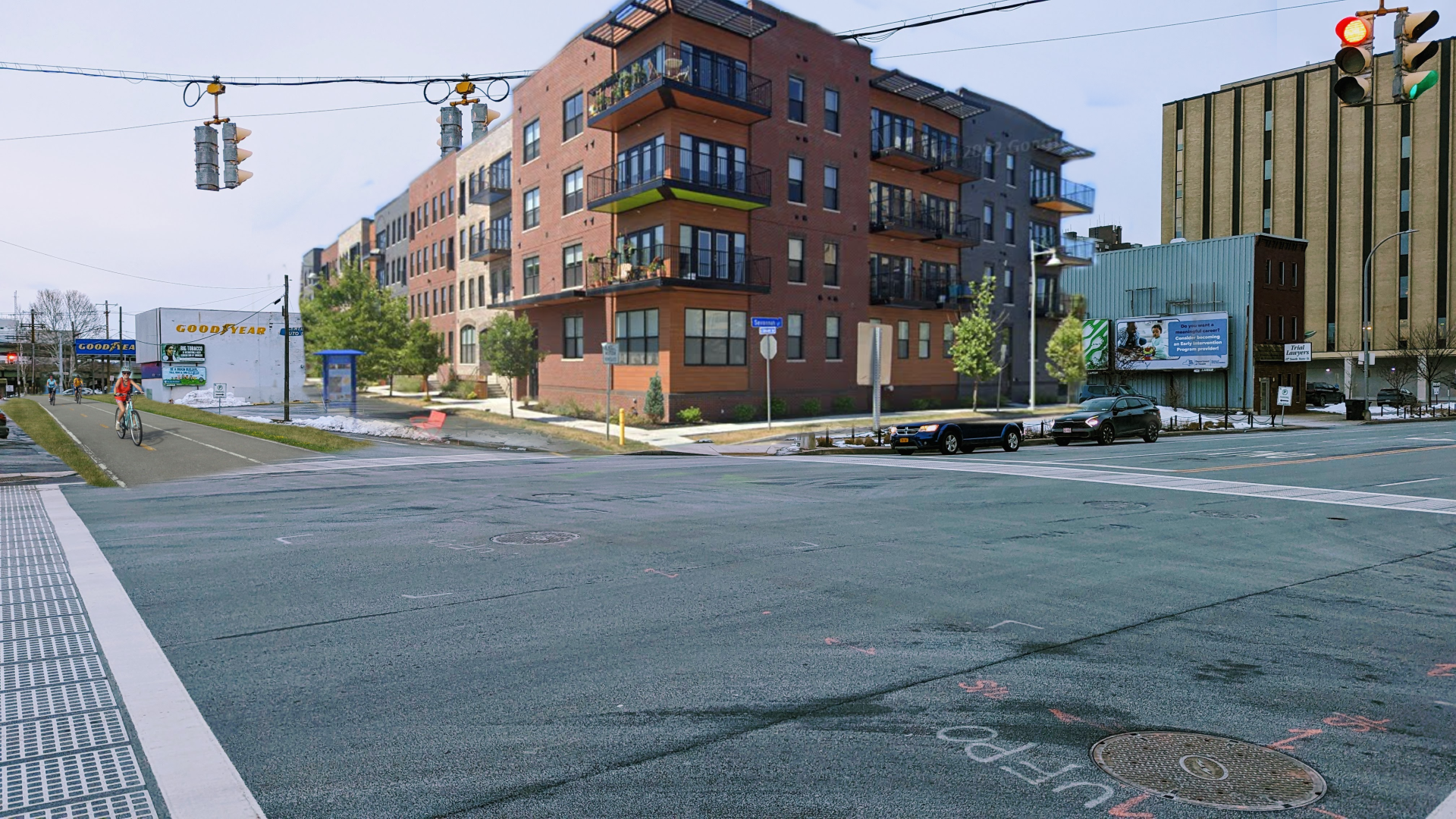
A Water St linear park is a chance for Syracuse to embrace a unique development style and encourage car free / car light living. It's time to rethink our streets and there’s no better place to start than a street whose purpose has been reduced over the last 100 years.


