• Blog
  • Blog Index
  • Video Work
  • About
Menu

Thomas Bardenett

Urban Planning - Writer - Filmmaker
  • Blog
  • Blog Index
  • Video Work
  • About

Destiny USA and the City

May 27, 2025

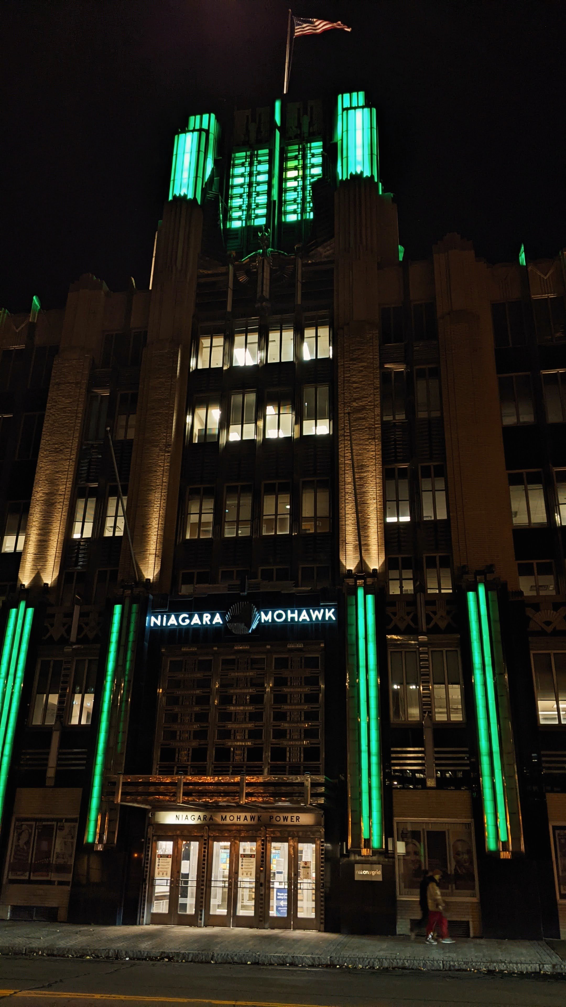
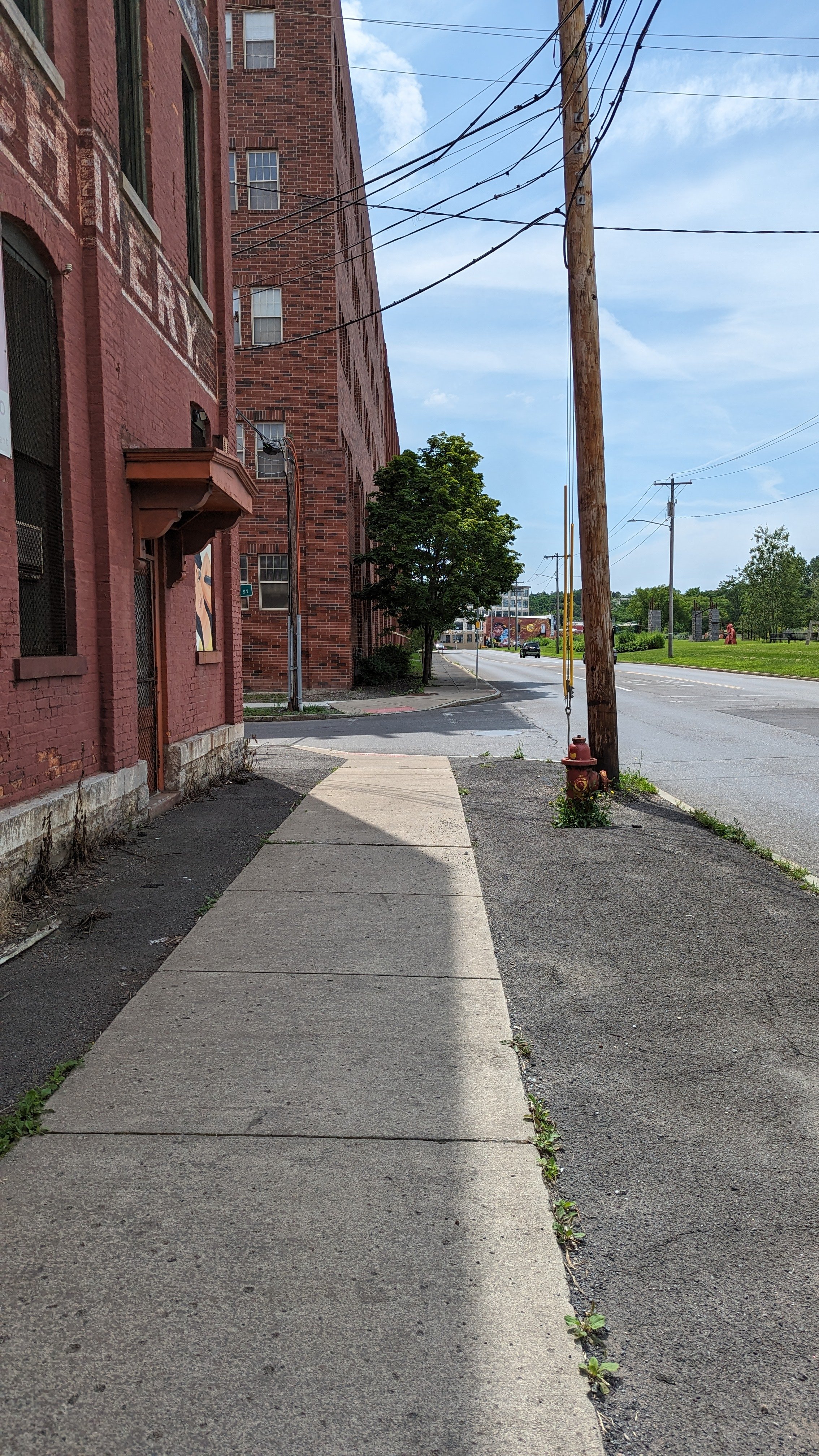
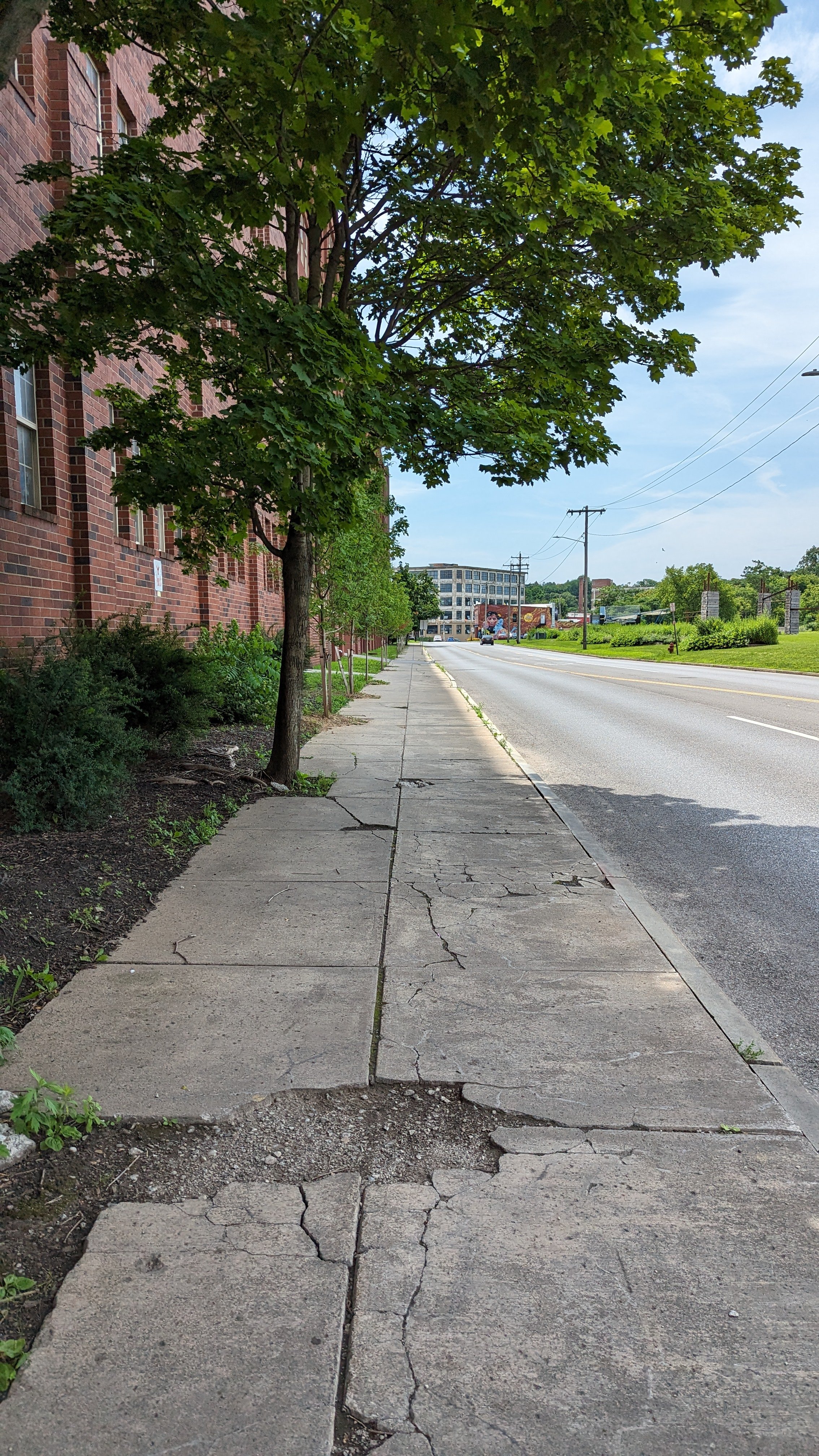
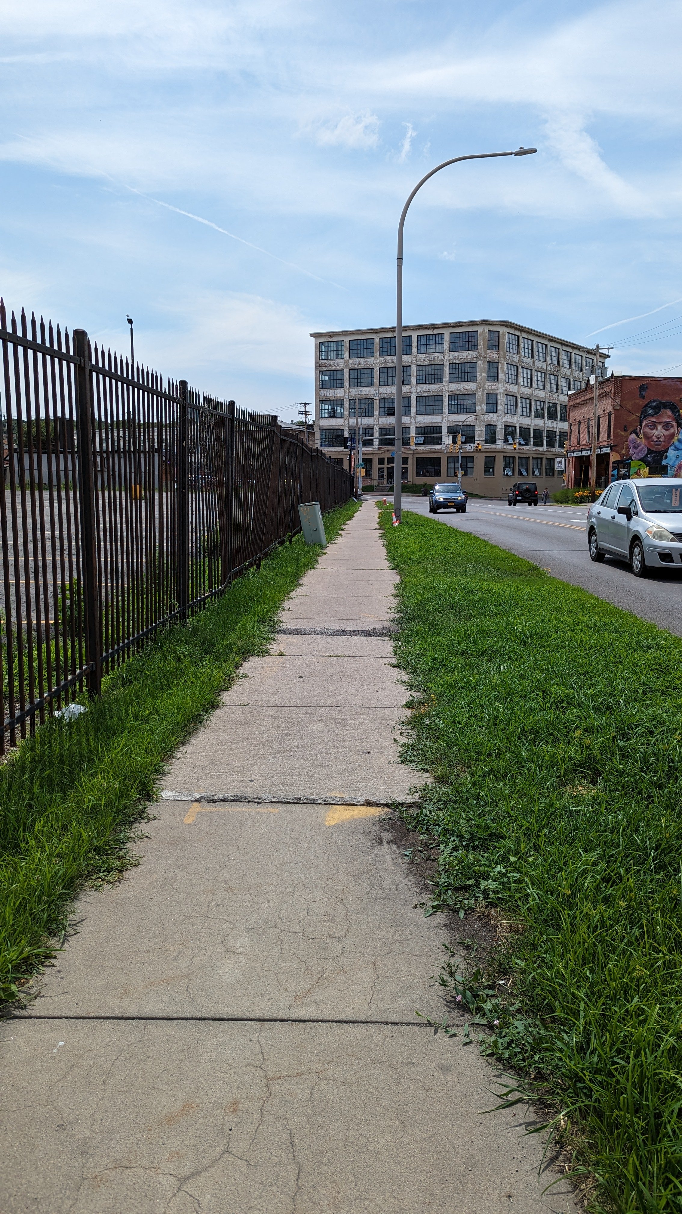
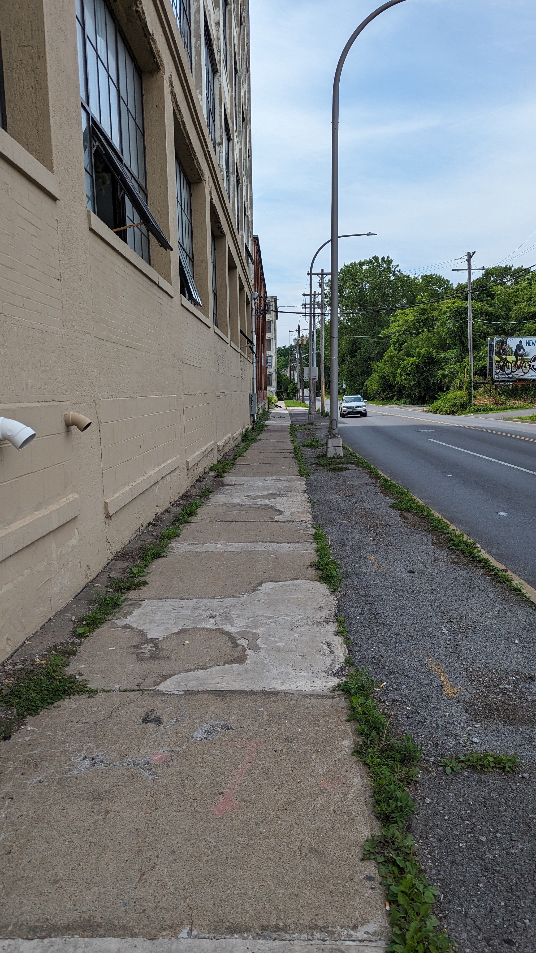
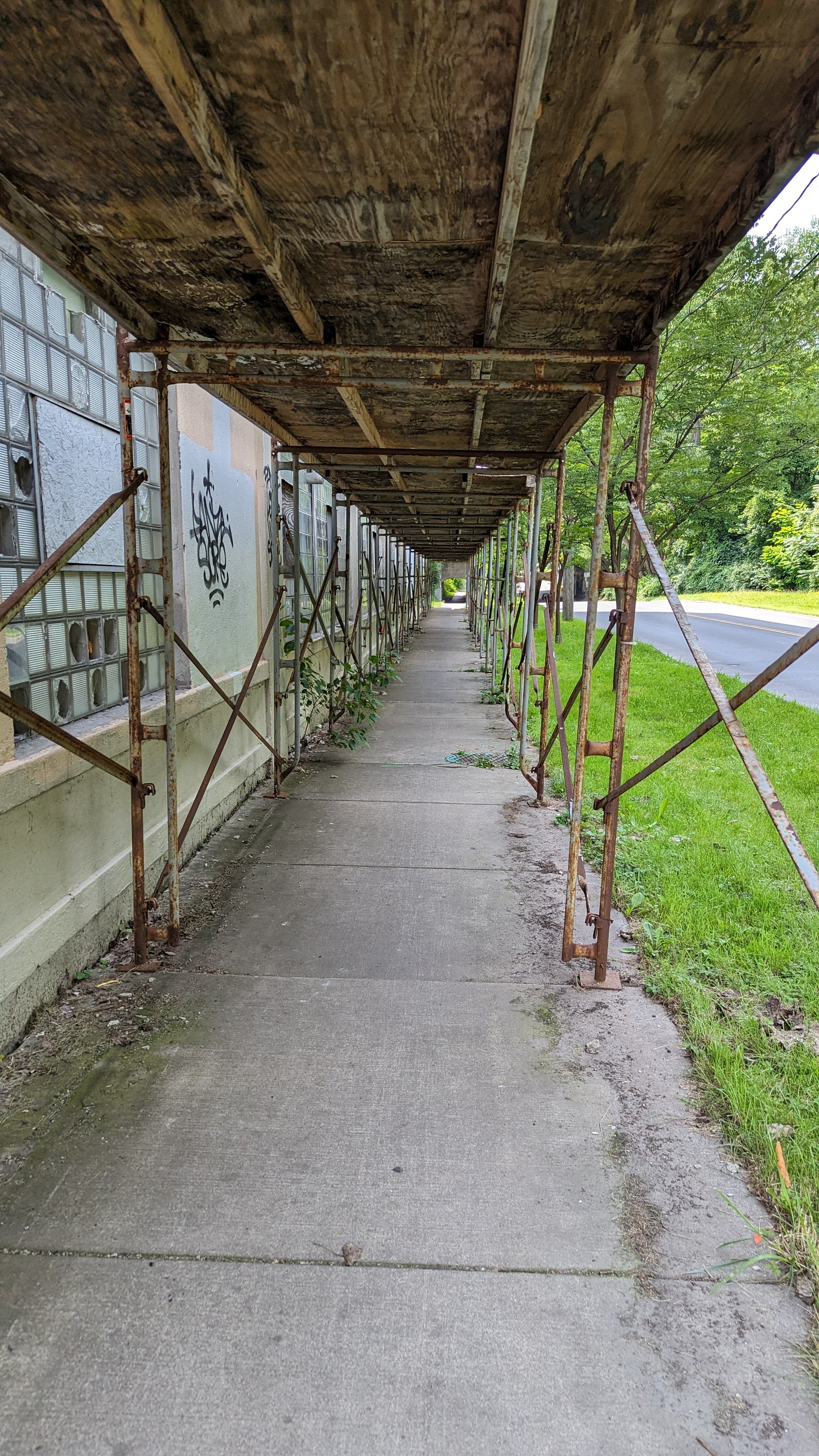
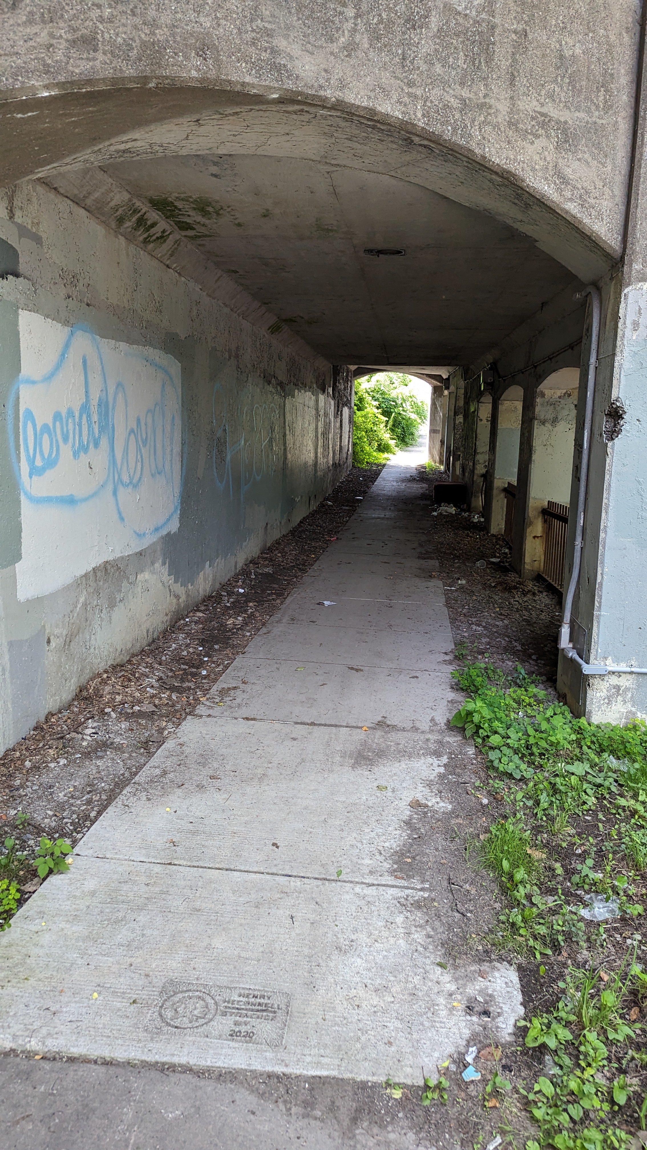
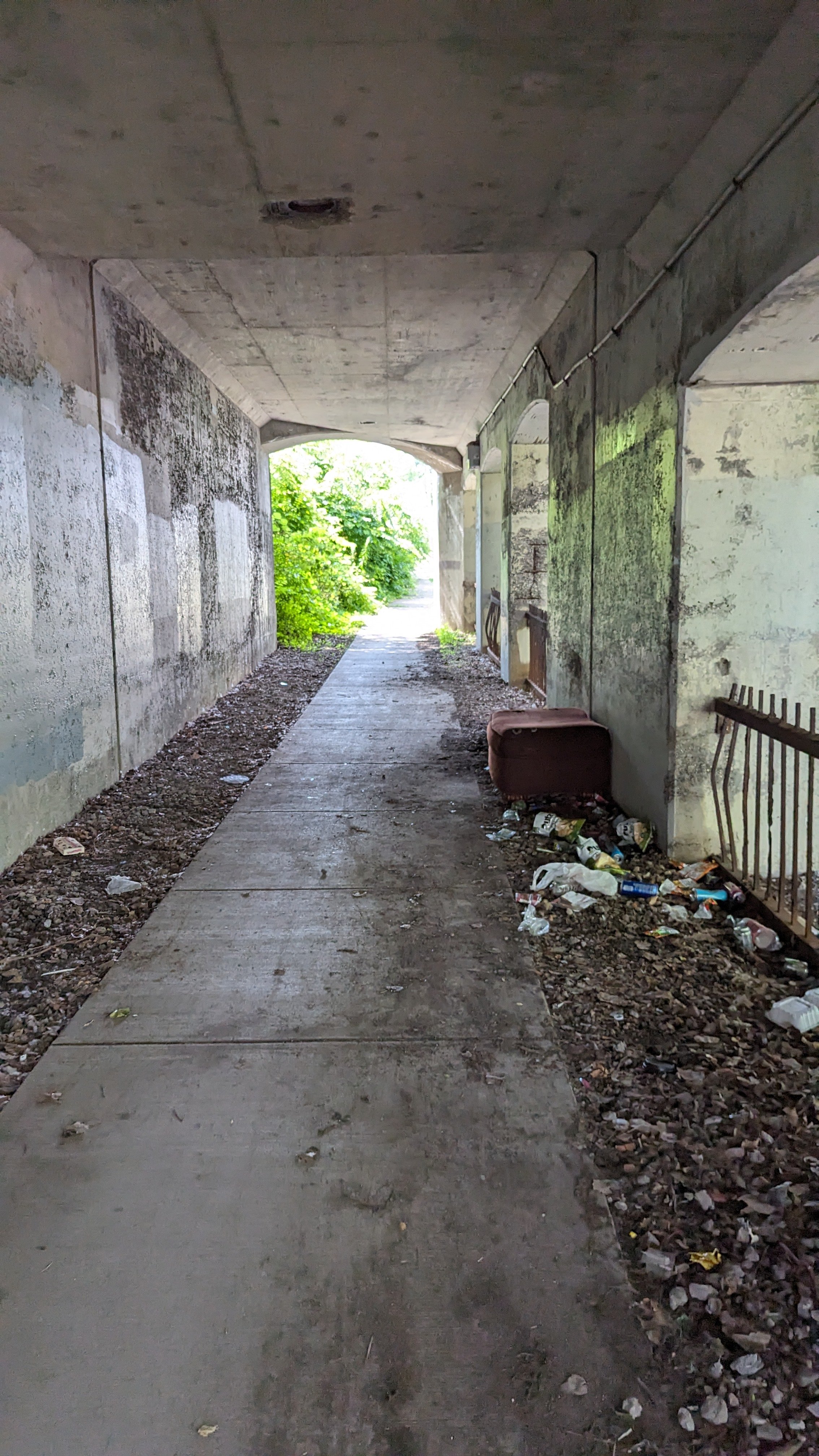
Some people would be surprised to learn just how many malls the Syracuse area had at one point in time. Not just the recently closed suburban shopping malls like Shoppingtown and Great Northern, but Camillus, Fayetteville, Penn Can, Fairmount Fair, and others, along with the attempt at an urban mall with the Galleries in Downtown Syracuse. The City was surrounded by indoor shopping malls of various sizes and quality. Today, many of those shopping malls have been converted into outdoor shopping plazas, or, in the case of Penn Can mall, into a mega automotive sales center. Only one indoor shopping center remains: Destiny USA.

While Destiny USA continues to draw crowds during the holiday season and various weekends throughout the year, it is far from the shopping destination it once was. The mall is experiencing high vacancy rates, especially in the addition that opened in 2012, and its owner has defaulted on one of its loans. There are serious concerns about its future, even as new businesses continue to open and existing businesses continue to reinvest in their stores. 

Some may argue that we don’t need the mall and wishfully think that its demise would lead to more foot traffic on urban streets. While I agree with the desire for more urban foot traffic and stores in urban environments, the reality is that without Destiny USA, all major retail would continue to exist outside of the City of Syracuse, and we would lose one of the last true third places in our region. Like it or not, the mall attracts a more diverse clientele than any other commercial space in the region and is a major employment center. While we have seen the resurgence of Downtown Syracuse and some other neighborhood business districts, the reality is that we still choose to gather at the mall, and it remains a vital space within our community.

So let’s take a look at what Destiny USA used to be, what was promised, and how we might be able to breathe new life into this important anchor of our community.

Opening in 1990, Carousel Center was by far the largest mall in Central New York, with a seven story atrium at its center, and its namesake carousel dutifully renovated and back in use at nearly 100 years old. The mall’s 1,000,000 square feet of retail space, laid out in a modified dumbbell shape, was filled with 120 shops, including anchor tenants such as Kaufman’s, JCPenney, Chappell’s, and Hills. The corridors were lined with planters filled with tropical plants and display cases. Smaller stores, like the WB Store, Disney, Discovery, and Noodle Kidoodle, emphasized unique layouts, interactive elements, and distinct facades. It was the peak of mall design from the era, focused on creating an experience for all visitors and encouraging them to spend hours wandering the halls.

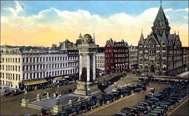
The mall was an immediate success and became the largest commercial hub in the Syracuse area. Some will blame Carousel’s success for the downfall of the other urban shopping experiment, the Galleries in Downtown Syracuse which opened in 1987. The smaller urban center was an attempt at reinvigorating downtown retail, but the center never was able to truly take off. 

Meanwhile, Carousel Center’s owners started to look towards the future with big ambitions. They wanted Carousel Center to grow into the largest mall in America and possibly the world. 

View fullsize  Source: The Post Standard   https://www.syracuse.com/business/2022/10/an-aquarium-canals-golf-and-mountains-revisiting-the-grand-plans-to-turn-carousel-mall-into-destiny-usa-part-i.html
View fullsize  Source: Gensis Studios   https://www.genesisstudios.com/portfolio-item/14039-pyramid_group-destiny_usa-interior/
View fullsize  Source: Genesis Studios   https://www.genesisstudios.com/portfolio-item/pyramid_group-destiny_usa_hotel/

In the early 2000s, new designs and promises for the facility seemed to pop up on a near endless stream. A Tuscan Village, a recreation of the Erie Canal, an aquarium, an amusement park, and hotels that would claim their place as the tallest buildings in Syracuse. The exterior design would shift constantly, from an Emerald City look alike to a faux 19th century city to a futuristic dome. The drawings and designs were awe inspiring - an experience that would take days to weeks to fully enjoy. The aim was to take what was successful in other mega-malls, like the Mall of America, and put it on steroids. Looking back, it all feels like a fantasy. The fact that the designs were constantly shifting in dramatic ways should have clued us in that nothing was set in stone, but instead they were searching for the vision that would draw the most interest from the public. The developers promised a shopping and entertainment complex that would bring tens of thousands of jobs and millions of tourists, as long as the City and County would help secure favorable financing.

I won’t go into the financial decisions that were made, nor argue whether they should have been made differently, as there is no going back now.

What was originally deemed the project’s first phase officially opened in 2012, years late and after many of the ceremonial first hires were let go. The expansion pushed the mall to 2.4 million square feet with over 300 shops. The large gray structure’s outward appearance lacked the personality and light of the original structure, instead appearing almost prison-like with few windows or architectural quirks to attract the eye. Inside, the “Canyon” created an open gathering space lined with restaurants and entertainment venues, including a large ropes course and an upside-down museum. Fake trees and sculptural lights attempted to create a personality within the space, but lacked the life of the real trees still used in the original section. The corridor off the “Canyon” lacked any visible identity with the few windows tucked away near entrances, restricting sunlight on our few sunny days.

View fullsize Destiny USA 1.jpg
View fullsize Destiny USA 2.jpg
View fullsize Destiny USA 3.jpg
View fullsize Destiny USA 5.jpg

While the initial list of shops and restaurants brought new and exciting businesses to the region or the first time, including Saks Off 5th, Coach, Nordstrom Rack, the Melting Pot, and Texas de Brazil, the economic realities of our region could not support all of them for long. Shortly after opening Toby Keith’s Bar and Grill closed, with its large space difficult to fill until a new trampoline park opened years later. Margaritaville, which surprisingly only closed in early 2025, never opened its second bar, closed its gift shop (which required a State liquor law exemption just to open), and rarely sat customers past the main bar area. The mall’s ambitions and promises were never fulfilled. This was a case of going too big for what the region could support on its own, but not big enough to make it a destination in its own right. Should further phases have followed the initial expansion, its tough to say what would have been its fate, especially with the increasing reliance of e-commerce for most retail stores, but it may have had more of a fighting chance than this mid-size mega-mall has had.

Destiny USA’s owners recognize that the commercial landscape is changing, and brick and mortar retail across the country is struggling. They have, smartly, begun to pivot more to entertainment and experience driven tenants. This includes traditional mall mainstays like arcades and movie theaters, along with virtual reality centers, an updated go-kart track, the revamped Apex bowling alley, an interactive indoor zoo, and the previously mentioned trampoline park. In recent months it was announced that the movie theaters would be upgraded and an indoor pickle ball club would be opening this year. 

These are smart choices that lean into the mall’s previous strengths at creating experiences for visitors vs being a quick place to shop. Destiny USA should continue to explore opportunities in this vane, while being open to an even more diverse set of tenants, which is increasingly common in malls across the country. So what might this pivot look like:

Double Down on Active Uses

The incoming pickle ball club will be an interesting test case for Destiny USA. The sport is incredibly popular around Syracuse, with courts popping up in parks across the county, but indoor facilities are harder to come by. A new indoor club recently opened in DeWitt, and several YMCA’s offer courts on certain nights of the week. But there is a lot of potential in bringing this active use to the mall. Unlike traditional gyms, which have not been as successful in Destiny USA’s history, pickle ball is a more social activity which may encourage its patrons to visit the bars and restaurants throughout the mall after they play. If the facility is designed properly, it could even become host to regional tournaments, which can bring in visitors from across the State.

View fullsize Fieldhouse USA 1.jpg
View fullsize Fieldhouse USA 2.jpg

If successful, Destiny USA should look to attract other similar active uses. One such example is Fieldhouse USA, which operates six locations across four states. Fieldhouse USA pairs various athletic courts, including volleyball, basketball, and tennis, with a kid friendly adventure park, complete with an indoor zip line. These facilities are located in both enclosed malls and strip malls, but offer the benefits of a more traditional anchor tenant as they bring in visitors from across the country. Many of these locations host regional and national tournaments which bring in visitors who will spend days in the community and would benefit from the other amenities already available at the mall. With a hotel across the street and several former anchor stores lying vacant, Destiny USA could easily redevelop one of its prime storefronts and position a similar facility for many regional tournaments, both for kids and adults.

Attract Office Uses

Office tenants may not be as exciting as an indoor sports complex, but they offer stability. While remote work has increased in popularity, the vast majority of companies still require workers to be in the office at least a few days per week. This is especially true for more service oriented businesses, included medical offices. As the Syracuse area grows, there will continue to be a pressure to expand medical service providers and a shortage of convenient locations. Already, many primary care physicians, dentists, and medical specialists have located deeper into the suburbs where parking is free and plentiful, but access for anyone without a vehicle is difficult. Relocating a practice, or opening a new one, within Destiny USA, already one of the top transit stops in the region, would not only provide vital access to lower income residents and those without vehicles, but still retain the ease of vehicle access the more suburban locations offer today.

Other office tenants may also see the value in locating in a large commercial center like the mall, which would provide amenities and access to dining options that a typical suburban office park likely lacks. For the mall, these uses provide stability while also increasing the customer base for the remaining retail tenants.

Consider a Grocer

When looking at the history of the mall, the original intention was for the facility to act as a sort of town square - providing residents with access to their daily needs in one location. This often included a pharmacy, post office, and grocery store. It may be time to revisit this idea.

As the Inner Harbor continues to develop and more residents move into the neighborhood, there will be an increasing demand for a full service grocery store and easy access to a pharmacy. You don’t need to look too far to find another Upstate mall with a grocery store. Colonie Center just outside of Albany is home to the area’s only Whole Foods. Its convenient location as an anchor tenant to the mall, and located near several large office complexes, has been a boon to the area. Destiny USA should look for an opportunity to bring in a unique grocery store, including the possibility of a Whole Foods, that would make it a destination grocer while also providing needed access to food for a growing neighborhood. 

Bring In Residents

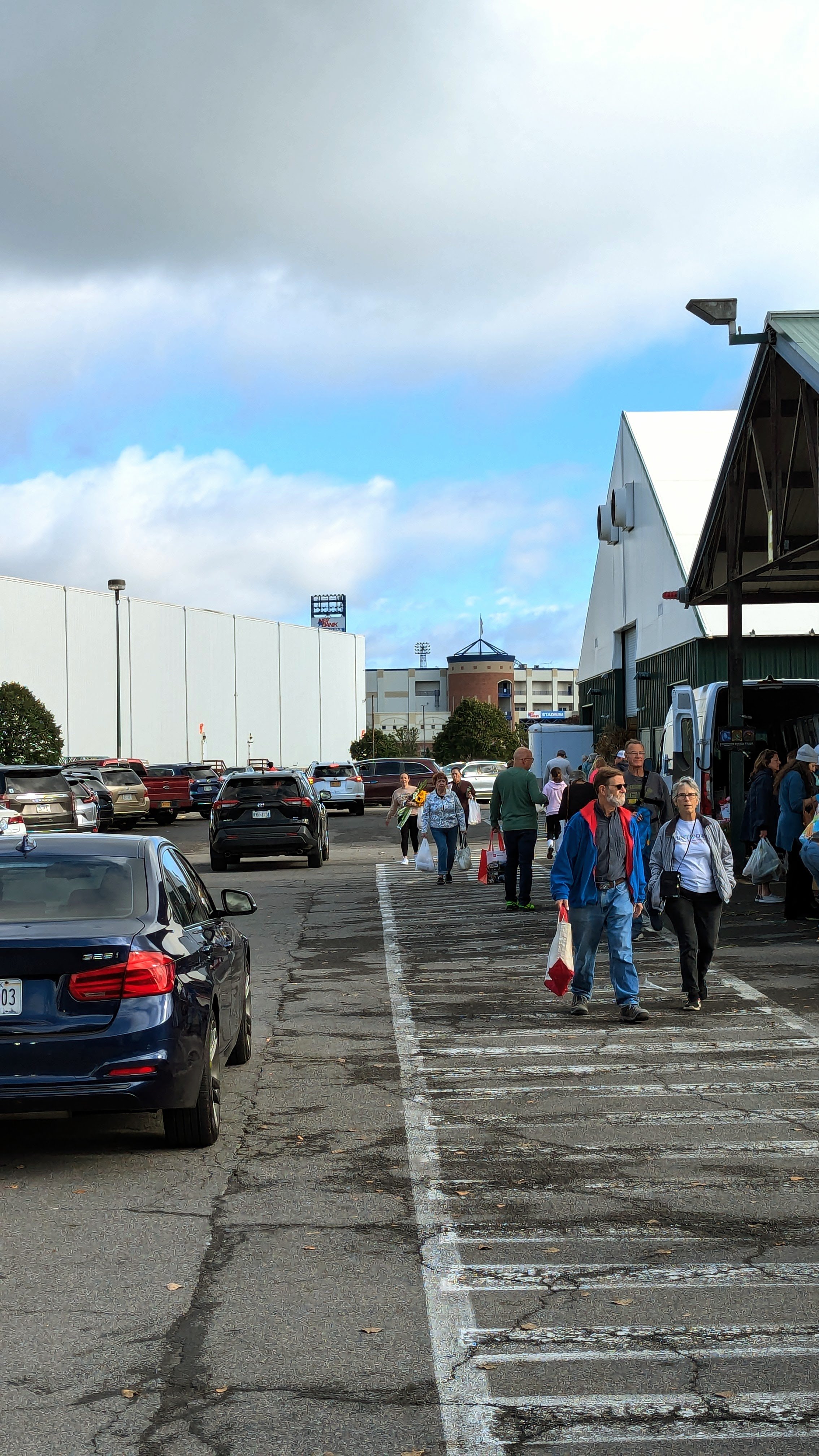
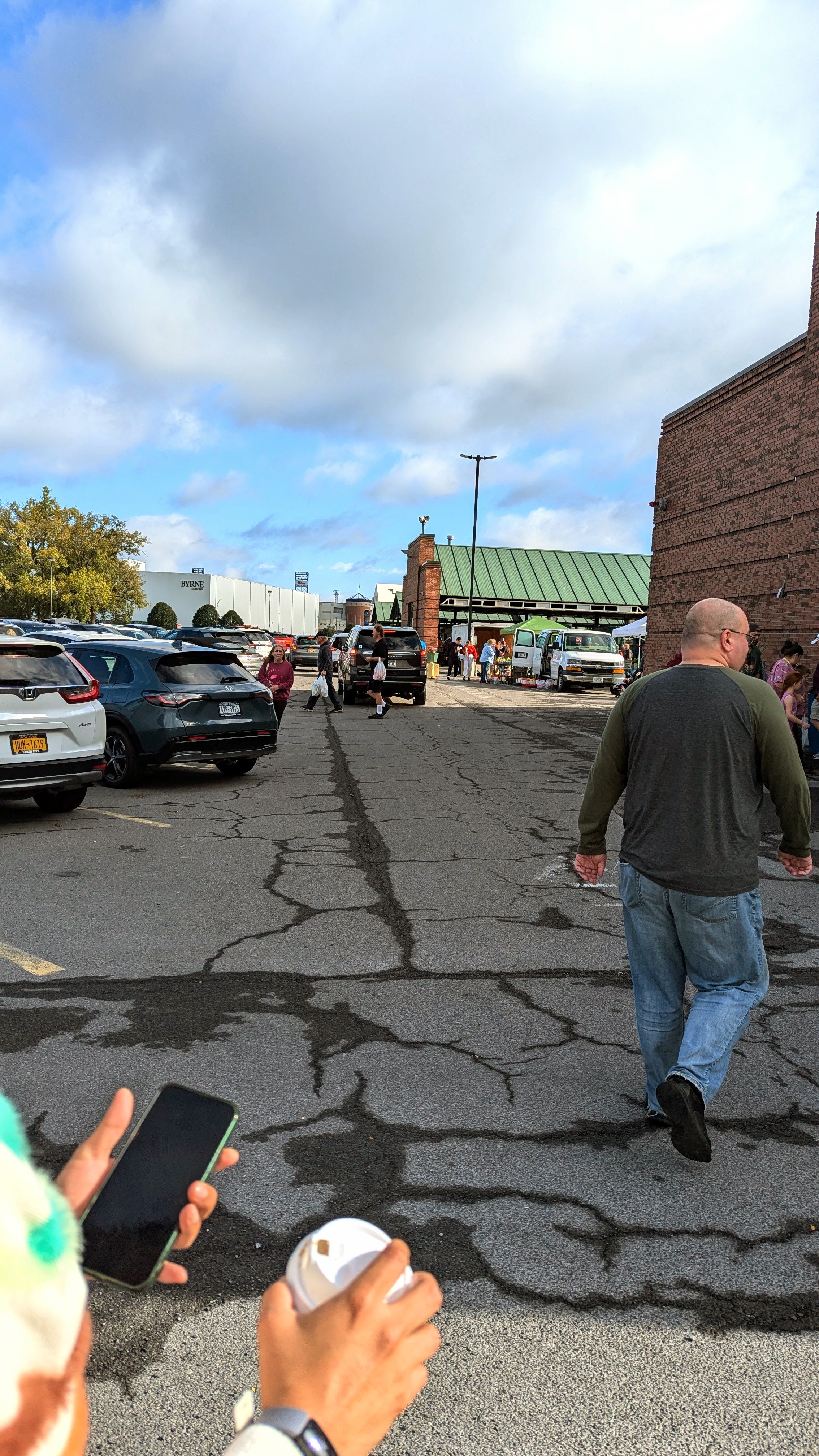
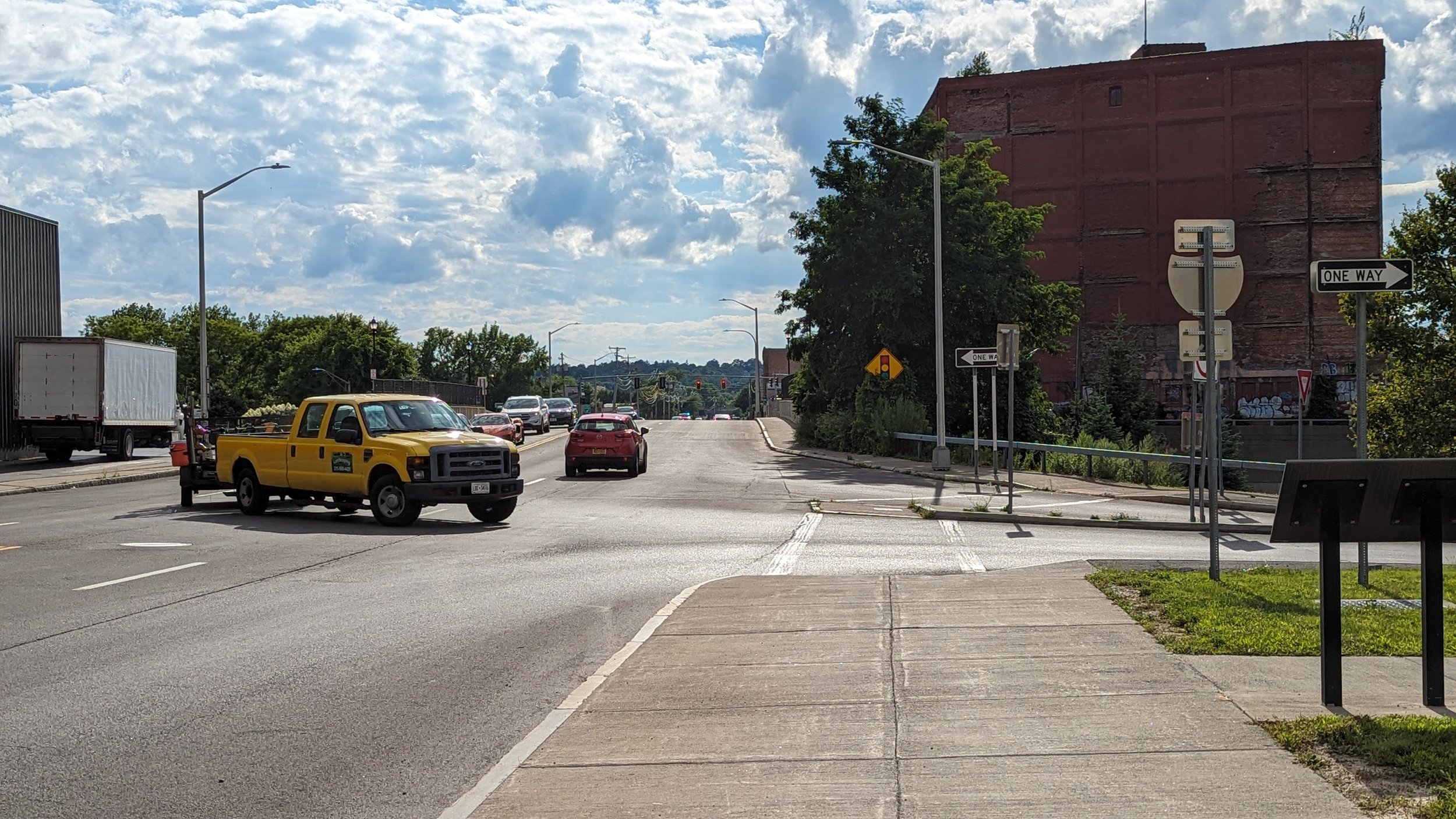
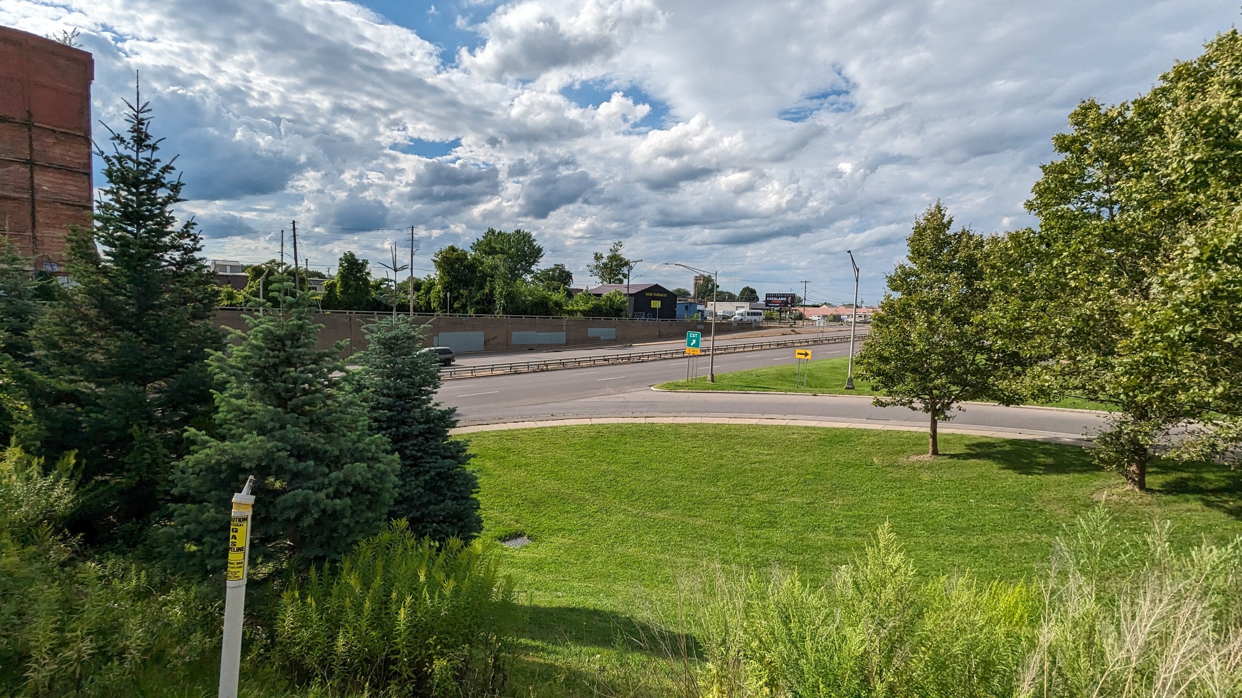
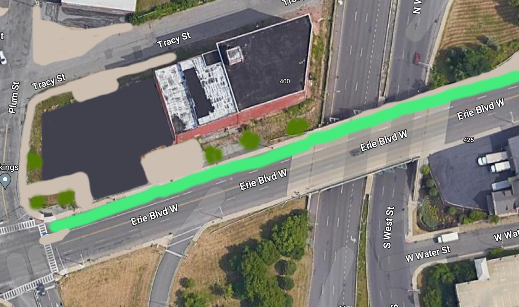
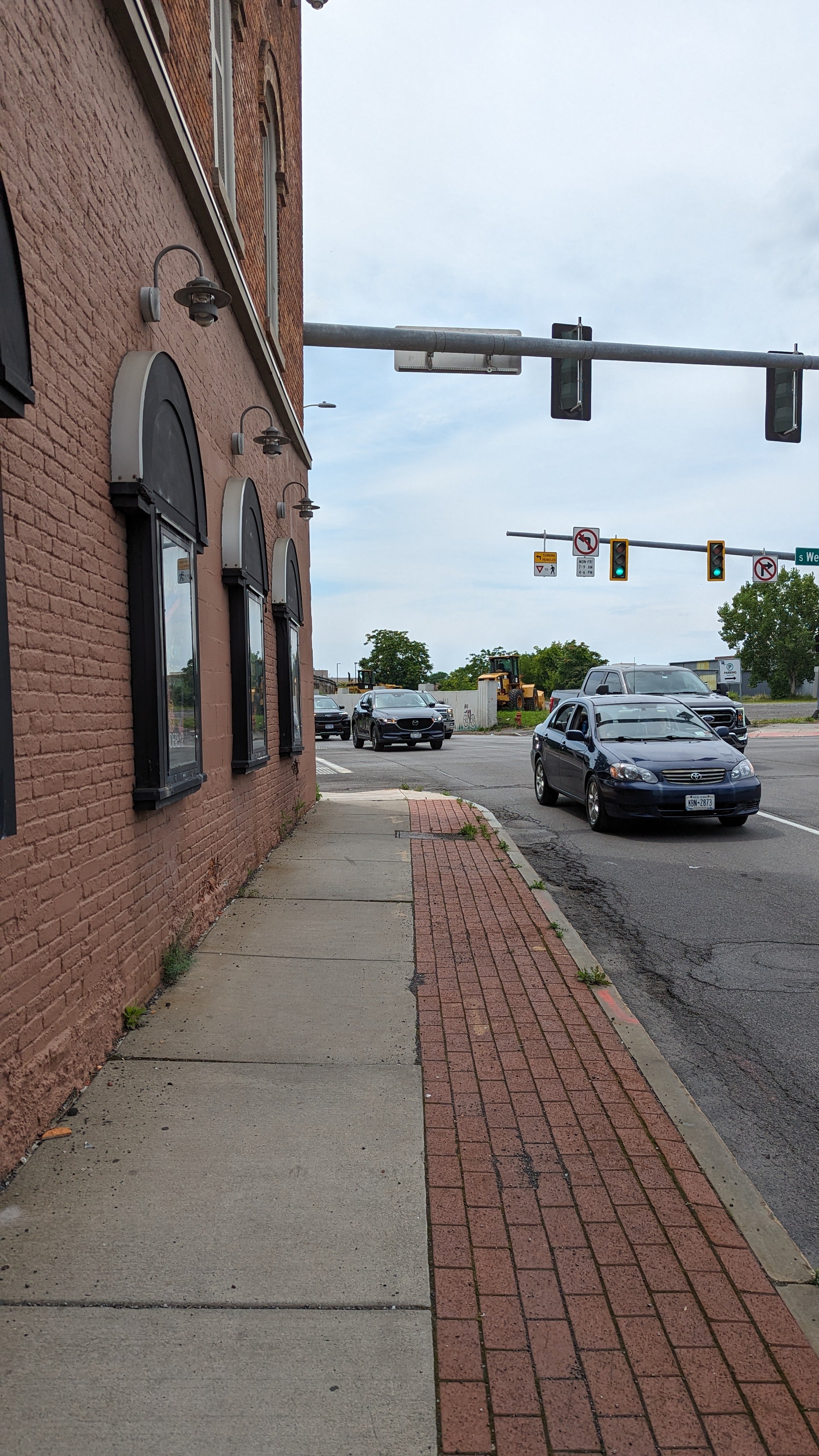
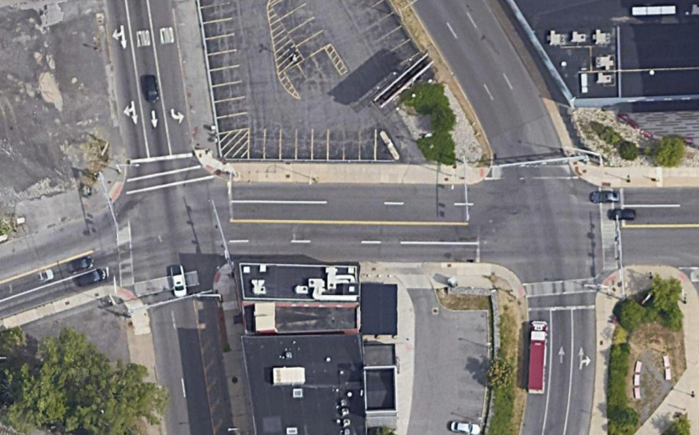
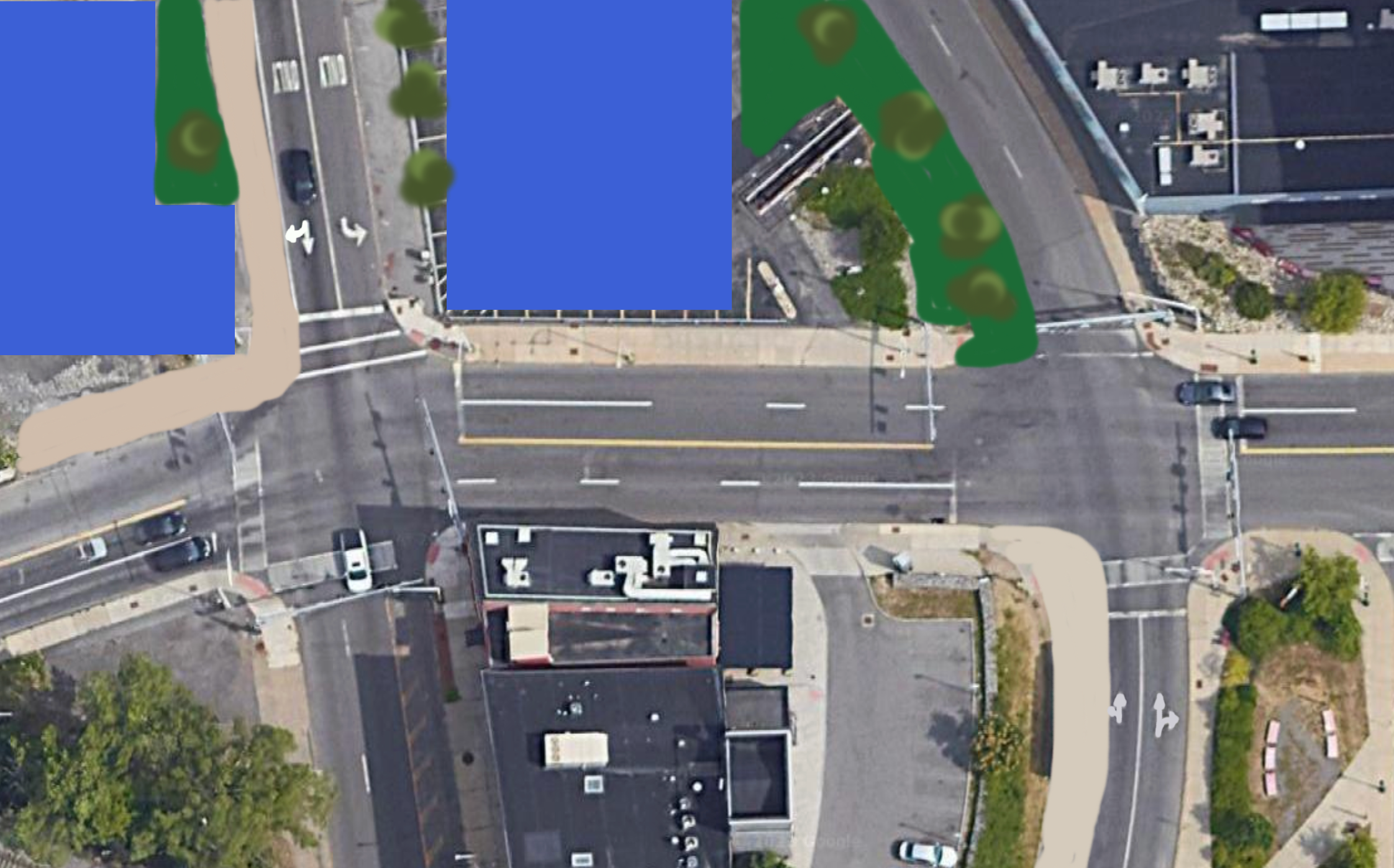
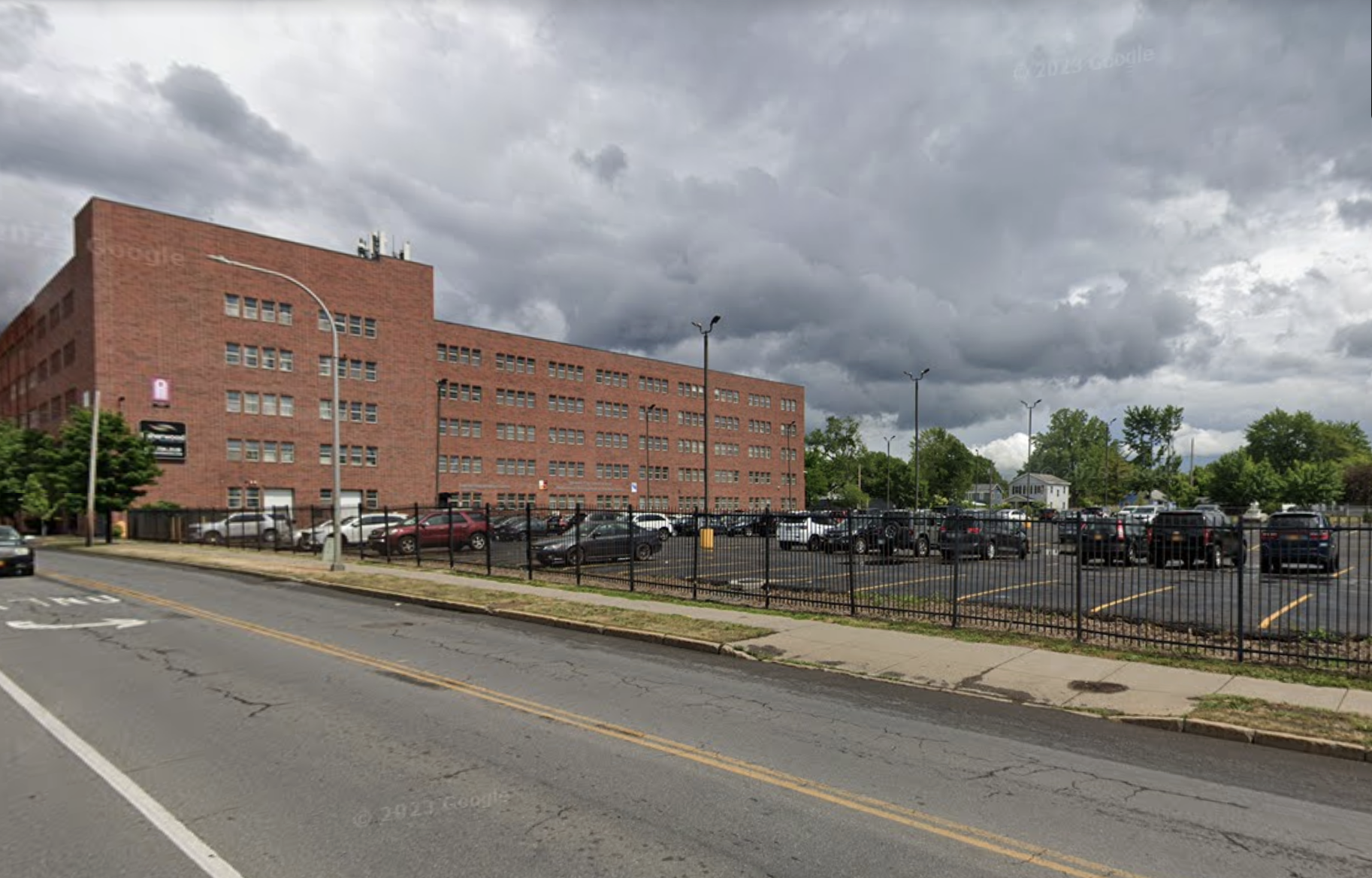
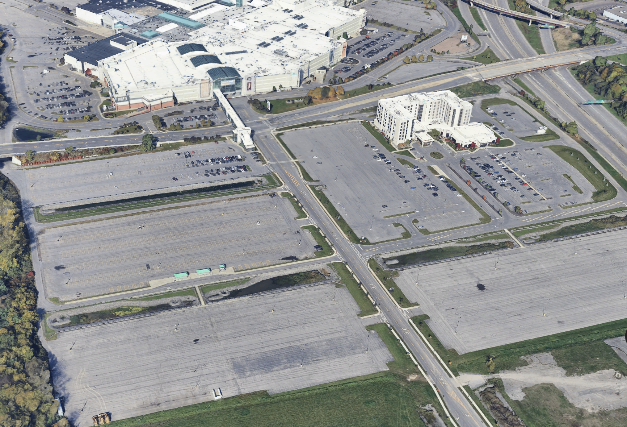
Speaking of a growing neighborhood, Destiny USA could play a vital role in its creation. While in the past I have floated the idea of redeveloping its northern parking lots near the lakeshore, the most likely candidate for redevelopment lies within the expansive parking lots that sit between Hiawatha Blvd and Bear St. Rarely, if ever, have these lots been full of customers, with the third ring of lots only ever seeing activity during the New York State Fair when they are used as a park and ride location. 

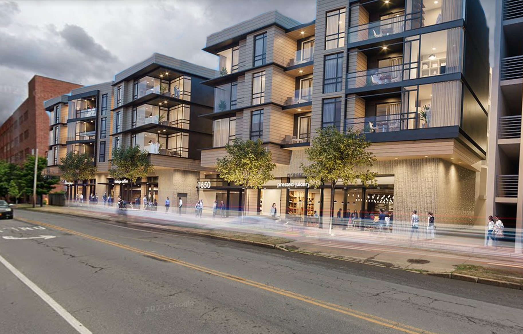
With the growing need for housing, and the mall’s growing need for revenue, ownership could choose to either develop the lots themselves or sell them to another developer. With the Inner Harbor seeing hundreds of millions of dollars investments in the coming years, including hundreds of new housing units and the County’s aquarium project, these far flung parking lots could help bring these new residents even closer to the mall’s door.

Screenshot 2025-05-27 at 8.02.20 PM 1.png
Parking lots with apartments.png
Screenshot 2025-05-27 at 8.02.20 PM 1.png Parking lots with apartments.png

While many of the new developments will include some level of mix-use, having hundreds of national chains, restaurants, and entertainment venues within an easy walking distance will be an amenity that no other residential properties in Central New York will be able to offer. This creates a captive customer base for retailers who choose to locate within the mall and encourages the expansion non-retail tenants who see the value in locating near potential employees.

The future of Destiny USA does not have to be dark and dismal. With the right choices and creative thinking, we may be at the beginning of its reinvention. Remember, the mall as a concept isn’t dying, its evolving. Look around the world and you will see new, adventurous takes on what the mall can be. Its one of our last true third spaces and one that brings all corners of society together. That’s too important of an asset to lose.

99 PI: Meet Us Bypassed The Fountain
In Syracuse, Housing, Urban Planning
Comment

The Market Commons at the CNY Regional Market.

A Healthy Future for the Regional Market

November 6, 2024

Since 1938, the CNY Regional Market has called the City’s Northside home. Nestled between Park St and Hiawatha Blvd, the Regional Market has easy access to I-81 (soon to be Business Loop 81) and the Parkway, yet feels disconnected from the City neighborhoods that surround it. Traditionally an industrialized neighborhood, many of the industrial buildings that remain along Hiawatha Blvd are either underutilized or vacant and act as a barrier between the nearby residential neighborhoods. But it remains an essential anchor within the neighborhood and a regional attraction.

In 2023, the Regional Market released a $90 million plan aimed at addressing many of their long time maintenance needs as well as investing in new infrastructure that would help bring the facility into the modern era. While these repairs and investments are sorely needed, they were soon overshadowed by a State audit that revealed questionable financial practices by the individuals running the Market that have greatly jeopardized its future stability. As there is renewed focus on the Regional Market and concern for its future, let’s dig in to what what that future could look like.

View fullsize Market Commons
Market Commons
View fullsize Market Diner
Market Diner
View fullsize Commission Houses
Commission Houses
View fullsize Market Commons
Market Commons

The approximately 50 acres controlled by the Regional Market includes five “sheds” where vendors sell produce on Thursdays and Saturdays, as well as run a flea market on Sundays. Three larger warehouses, known as the Commission Houses, sit between the sheds and Hiawatha Blvd, while a strip of commercial buildings, the Market Commons, line Park St. The Commons includes Market Diner, an M&T Bank office, and a Wendy’s, with large vacant spaces currently available for lease. Additionally, the Market controls a vacant warehouse across Tex Simone Dr that sits just outside of the NBT Bank Stadium parking lot.

Surrounding all of these structures is asphalt. Acres and acres of asphalt with few dedicated spaces for pedestrians. In fact, the only sidewalks within the Market area line roughly 1,300 ft of Park St near the commercial buildings. Otherwise, pedestrians intermingle with vehicles as they circle the sheds either looking for a place to store their car, dropping/picking someone up, or picking up large purchases they may have made that day. For individuals who may have parked further afield, a shuttle provides an easy, accessible way into the Market, making stops outside of each shed. 

The mural within the Market Diner illustrates an idealized walk from the Market to NBT Bank Stadium. Currently visitors are fenced in within the Market with poor pedestrian connections to the stadium area.

Lining the perimeter of the Market is a dilapidated chain link fence, further severing the grounds from its neighbors. And the Market has a lot of neighbors. The Regional Transportation Center (RTC), NBT Bank Stadium, Destiny USA, as well as one of the denser neighborhoods of the City of Syracuse all lie across the street from the Market, yet feel completely disconnected from it. 

So what can we do to reconnect the Market with its neighbors and set it on a course for a healthier, livelier future?

First, let’s start by tearing down that fence. While there is a desire to control the space within the Market grounds, the existing fence fails to enclose the entirety of the property and sends a visual signal of disinterest in its neighbors. This is not to say a fence should not be part of the property, but only where absolutely necessary and it must be thoughtfully designed. Instead, it is encouraged to expand the Market’s facilities to include buildings that line Hiawatha Blvd and NBT Bank Pkwy, creating a barrier between the heart of the Market and the street, but in a way that welcomes visitors. 

Screenshot 2024-11-04 at 9.36.51 PM.png
Regional Market updated layout.png
Screenshot 2024-11-04 at 9.36.51 PM.png Regional Market updated layout.png

Now, these structures do not need to be market specific, but can bring in other uses that compliment the mission of the Market, including housing. New York State is in the midst of a housing crisis, as is the Greater Syracuse Area. With historic growth coming to Central New York as a result of the Micron investment, Syracuse is in need of more quality affordable housing. As a State sanctioned authority, the CNY Regional Market should be tapped as a resource to address this crisis. Not only would this address a need in our community, but it would also be good for the Market itself. Developing a mix of affordable and market rate apartments would provide a reliable source of income for the market as well as create a captive audience for their vendors to sell to. Food deserts are often discussed extensively in planning circles, and yet the Regional Market offers an opportunity for fresh food and produce oriented development (maybe not as catchy as transit oriented development, but still providing direct access to needed resources). 

Gateway entrance to NBT Bank Stadium and the Regional Market at the corner of Hiawatha Blvd and Tex Simone Dr, as shown in the Hiawatha - Lodi Brownfield Opportunity Area plan.

The cornerstone of these new structures should be the vacant warehouse across Tex Simone Dr. Back in 2012, the brownfield opportunity area plan for Hiawatha Blvd saw this corner as an opportunity to create an appealing entrance to the market / ballpark district, including a large welcome sign that straddles Tex Simone Drive, announcing your entrance into a true destination. I support this vision, and I believe anchoring that corner with a large, mixed-use building, provides the best opportunity to truly transform how we view the entire district. Building off the success of the Hiawatha Heights Apartments next-door, which converted an old industrial building into residential lofts, the construction of a new, mixed-use building can help solidify the transition of the neighborhood away from its industrial past and into a modern, urban center.

View fullsize Screenshot 2024-11-05 at 5.02.44 PM.png
View fullsize Screenshot 2024-11-05 at 5.02.30 PM.png
View fullsize Screenshot 2024-11-05 at 5.03.12 PM.png
View fullsize Screenshot 2024-11-05 at 5.03.47 PM.png

In addition to the new mixed-use buildings lining the Market, improved pedestrian and bicycle connections will be sorely needed. Currently, the only sidewalk available on Hiawatha Blvd sits outside of the new CubeSmart self storage facility (not my favorite commercial property use, but better than a vacant building). Tex Simone Dr has no sidewalks to speak of. And NBT Bank Pkwy only has a sidewalk along its northern curb from Tex Simone Dr to the RTC. Pedestrian connections into the Market area are non-existent, while crossing any of the surrounding streets is a dangerous task. The first step to addressing these gaps is to fill them. Every curb should be lined with sidewalks, providing easy pedestrian access to all of the key anchor destinations in this area. Next, we must address the lack of safe crossing opportunities. In 2019, SMTC conducted a mobility study of the Market area that highlighted potential opportunities to narrow some of the surrounding roadways and improve crossings.This includes adding pedestrian islands at the Park St / Hiawatha Blvd intersection and bike lanes along Hiawatha Blvd. It’s encouraging to note that many of these changes are being pursued by the City of Syracuse in the coming years.

One thing the SMTC study does not address is the potential narrowing of NBT Bank Pkwy. The street, from curb to curb, has a typical width of around 50 ft with 4 travel lanes. With around 3,500 vehicles per day, this street is extremely overbuilt and encourages drivers to travel over the speed limit regularly. While turning lanes are needed at the Park St intersection, the majority of the street’s length can and should be reduced to one lane in each direction, with a turning lane into the RTC to assist the movement of buses. With this extra space, on-street parking can be implemented along with wider sidewalks and street trees. A mid-block crossing, with curb extensions, from the Market to the RTC should be implemented to improve connections for transit riders and travelers alike while slowing drivers through squeezing the roadway.

Now that we have addressed access around the Market, we should turn our attention to its interior and focus on improving the mobility of visitors along with the overall experience. This begins by restricting vehicle movements and expanding pedestrian spaces. First, we must remove the parking lanes that directly line the Market sheds. These spaces are highly coveted due to their close proximity to the vendors, but also encourage drivers to circle close to where most people are walking, creating conflicts and spewing exhaust right where people are mingling. Instead, these spaces should be converted to green spaces with sidewalks and trees. Some vehicle access will need to be maintained to allow vendors to access their stalls and for the Market shuttle to drop visitors off. Minimal access should be provided for customers. Some additional parking can be added in the far northeast corner, but a better option would be to utilize the parking lot at NBT Bank Stadium, while expanding the shuttle service for visitors in those lots. Syracuse Mets games typically start at 6:35pm, with gates open at 5:35pm. With the Market closing at 2pm, there should be no overlap in the use of the parking lots. The fewer parking spaces within the Market property, the more land that can be repurposed as park space.

Pedestrian spaces.jpeg
Pedestrian spaces improved.png
Poor pedestrian spaces.jpeg
Poor pedestrian spaces improved.png
Pedestrian spaces.jpeg Pedestrian spaces improved.png Poor pedestrian spaces.jpeg Poor pedestrian spaces improved.png

One type of parking that should be included within the Market property is bike parking. Currently, the only bike parking available sits at the corner of Farmers Market Pl and Park St, a truly unpleasant place to be let alone leave your bike. Instead, the Market should consider providing indoor bike parking / lockers, as well as a large bike corral directly behind the Market Commons building that sits along Park St. It’s imperative to provide convenient, safe bike parking if you hope to encourage more people to ride to the Market.

As we look at the uses inside the Market grounds, we should take some inspiration from the revitalization plans that were released last year (and are currently removed from their website). The plans called for the redevelopment of the Commission Houses into a food hall, similar to the Salt City Market in Downtown Syracuse. While this is an intriguing idea, a food hall may be better positioned at a location along the edge of the property, providing easier access throughout the week. This could occupy one of the larger empty spaces in the Market Commons building, or even the first floor of any new development at the vacant warehouse on Tex Simone Dr. 

Market Commons would benefit from more dining options, and potentially a sports bar that ties itself into the local sports history of the ballpark down the street. As I’ve mentioned in previous posts, there are no good dining and drinking options near the ballpark, which prevents fans from lingering in the neighborhood before or after a ballgame. Finding ways to tie the ballpark closer to the Regional Market is key to the future of the district. This may include working with the Syracuse Mets to hold more afternoon games, perhaps even calling them Market Days, to tie into the energy of both community anchors.

Market Commons vacancy with windows.jpeg
Market Commons bar with windows.png
Market Commons vacancy with windows.jpeg Market Commons bar with windows.png

At its heart, we must improve the areas used by vendors, including providing more space for refrigeration and electrical hookups. These are functional items that vendors have expressed a need for and that more modern markets are providing. If this requires the demolition of some of the older structures, we should be open to that, as long as their replacements offer the better amenities and functionality. We should preserve as much of the historic structures as possible, but we should not let their histories prevent us from creating a more functional market space for vendors and visitors. 

The Market area, and the greater Northside neighborhood in which it sits, has a lot of potential. From the Market and the RTC to the ballpark and Destiny USA, so many of our regional assets sit close together, yet feel completely disconnected from one another. As we have discussions surrounding the future of the Market, it’s the perfect time to dream big and create a true destination on the Northside.

An active market day, despite the rain in May.

In Urban Planning, Walkability, Syracuse, Housing
Comment

Smaller apartment buildings can easily fit into neighborhoods with single family and multi-family homes.

Renters Matter, Too

July 31, 2024

Housing continues to be a hot topic, both locally and nationally. The cost of housing, both to rent and to own, continues to rise, putting pressure on individuals and families. Organizations, activists, and planners have all been working to expand housing in hopes that abundance may help regulate price increases. At the same time, just as many organizations, activists, and other community leaders have focused on blocking development they deem out of character with their communities. As a result, after many years of being ignored, the discussion about housing is finally front and center, and the public comments are not always pretty.

After every local news story about a housing development or housing study, one thing becomes clear in the comments on social media: a vocal disdain for renters and rental properties.

View fullsize image (1) (1)-EDIT.jpg
View fullsize image (1) (2)-EDIT.jpg
View fullsize image (1) (3)-EDIT.jpg
View fullsize image (1) (4)-EDIT.jpg
View fullsize image (2) (1)-EDIT.jpg
View fullsize image (4)-EDIT.jpg
View fullsize image (6)-EDIT.jpg

While just a small sample, the above Facebook comments are not uncommon. Rental properties are seen as a burden on a community and renters bring quality of life problems for homeowners and have no investment in their neighborhoods. As a renter myself, this obviously does not reflect how I view renters and I believe the perpetuation of these views negatively impacts our communities. So let us respond to some of these concerns and offer up a defense of renters as our neighbors.

One of the primary arguments individuals make against adding rental housing, or more dense housing in general, is that it does not fit with the character of their neighborhood. In their new book, Escaping the Housing Trap, Charles L Marohn Jr and Daniel Herriges argue against this view:

“Shouldn’t a community have the right to say ‘no’ to unwanted change? Buried in the premise of the question is that refusing change is an option. But that’s not the case. Change is inevitable. A community that has lost all affordable, starter housing already has changed, irreversibly. It is only the buildings that have not. Cities must be living, evolving, complex things…Preservation is taxidermy.”

While the authors are specifically focused on addressing the lack of affordable housing, defined as affordable for varying levels of income not just low-income housing, the emphasis on allowing change in all neighborhoods is key. Families have moved to suburban areas seeking homogeneity and stability. As a result, they fight to prevent the community they have moved into from changing. But this is not sustainable. Others deserve the opportunity to move into areas that offer access to services they desire and need, such as school districts, medical care, and job opportunities. Refusing rental housing blocks many individuals and families who were not lucky enough to buy property decades ago at lower prices and ride the wave of rising home values from moving into areas of opportunity.

But we will come back to the need for more housing. Let us instead focus on the arguments against renters themselves.

A lot of rental housing in Syracuse and smaller cities include two-family homes and single family homes.

Often you will see people describe individuals who rent as less invested in their respective communities. The view here is that because they have not purchased their homes, they are less tied to their communities and more likely to leave after only a short period of time.

While this argument may sound reasonable on its face, it forgets the many renters who spend decades in the same apartment or home. It forgets the many reasons someone may choose to rent long term instead of buying. It forgets that renters are also tax payers, and pay into the same property taxes (through their rents) that homeowners do.

So why do people choose to rent?

Renting offers individuals flexibility. Recent articles in the New York Times discuss when people should consider buying versus renting and it often comes down to long term plans. Unless you plan to live in a neighborhood for 10+ years, buying a home ends up being a worse financial decision. This is a result of down payments, broker’s fees, interest rates, and repairs.

Repairs and home maintenance are underappreciated costs. For many individuals who do not have general repair skills (myself included) the cost of hiring qualified professionals to take care of plumbing, electrical, and other maintenance issues can run high. Renters, provided they have responsive and organized landlords, usually have these maintenance fees baked into their rents and can expect prompt corrections to issues as they arise. Yes, plenty of landlords do not live up to these expectations. In fact, some landlords in Syracuse are suing the City to prevent code enforcement officers from inspecting their units without warrants. These inspections are aimed at reducing lead exposure and other hazards. These landlords must be held accountable as they are responsible for the safety of all of their tenants. Allowing one- and two-family homes to avoid this level of inspection is irresponsible at best, and criminal at worst.

Common Space offers smaller apartment units with large, shared spaces geared towards creating more communal living in urban centers.

Many renters also choose to rent due to the lack of diversity in housing stock. In most American cities, including Syracuse, you either have the option to rent an apartment or buy a detached single-family home. While this has been billed as the “American Dream” for several decades, it no longer fits the needs of many American households. While our country has grown, family sizes have shrunk, even while our homes have grown larger. In 2020, I wrote about the need to redefine what the “standard American home” means, arguing that most homes do not need 2,000+ square feet of space to accommodate 2 or 3 people. Townhouses, rowhouses, smaller multi-family buildings can provide needed and more appropriately sized space for these smaller households that are may desire lower levels of upkeep. These denser housing types also create opportunities to provide transit and active transportation facilities that larger lots and houses make difficult. Unfortunately, many townhouses within the Syracuse area today are not built in an urban context, but instead in suburban subdivisions which continue to separate people from their day-to-day needs. Providing a homeownership option that fits their needs in a truly urban setting may convince many renters to buy, but currently their only option to live in these types of neighborhoods is to rent.

While not traditional townhouses, the Catholic Diocese of Syracuse mimics traditional townhome and brownstone construction seen in larger cities and in Syracuse, historically.

And yet, many view anything smaller than these large, detached homes as squeezing people into tin cans or barracks. They view urban settings, including apartment buildings and townhouses as inhumane. Yet zoning that restricts the development of denser housing more often leads to overcrowding as the number of housing units does not keep pace with the number of households. As a result, extended families crowd into single homes and people must live with more roommates than they would desire otherwise. The below graphic from California YIMBY illustrates these differences clearly. 

The final argument against renters I will discuss in this post, is one I have addressed in numerous other posts - the lack of parking. People will argue that denser housing, usually apartments that do not provide off-street parking, will cause neighborhood streets to become clogged with cars. While there may be slight increases in on-street parking usage in the short term, as we promote density, more residents will find themselves closer to their day-to-day needs, perhaps even within walking distance, and opting to own fewer vehicles. If concerns arise over the overuse of on-street parking, residential parking permit programs with caps on the number of vehicles can help limit the number of vehicles on the street. But it is important to note that renters and owners are just as likely to park on the street in many neighborhoods.

We must remember that we all have different needs and desires when it comes to housing. Many people will desire home ownership, but many others find renting fits their needs better. In the end, we are all part of the same community and should welcome having more neighbors, especially if they are looking to invest in their neighborhoods, be it through money or time. Renters matter in our communities so let us open our arms to more of them.

Many of Syracuse’s historic buildings have been converted into apartments and mixed-use developments over the past 20 years.

In Housing, Syracuse
Comment

The Walk: To Middle Ages

October 31, 2023

The Walk is a series of blog posts dedicated to documenting the current experience of walking between Downtown Syracuse and its surrounding neighborhoods. The purpose of these pieces is to highlight the importance of connections between neighborhoods. Small pockets of walkable spaces exist throughout the City, but there are large gaps between each. Building out safe, pleasant, and convenient routes between the City center and nearby neighborhoods is a great place to start.

To many people, the Middle Ages Brewing Company is already in Downtown Syracuse, and they may be right. It is located right near the heart of the City, just over half a mile from Clinton Square. In years past, plenty of National Grid employees, with its headquarters located just a few blocks away, would line the street with their cars during the day as the closest place to store them for free.

But, according to the City of Syracuse, it lies within the Park Ave neighborhood on the City’s westside. And there are clear barriers between the Park Ave neighborhood and Downtown Syracuse that you notice when you’re on foot. Barriers that only require a little thinking to overcome and stitch these neighborhoods together as they should be.

Clinton Square old.jpeg
service-pnp-det-4a10000-4a12000-4a12100-4a12105v.jpg
Syracuse_1920_clinton-square.jpg
Clinton Square festival.jpeg
Clinton Square winter.jpeg
Clinton Square old.jpeg service-pnp-det-4a10000-4a12000-4a12100-4a12105v.jpg Syracuse_1920_clinton-square.jpg Clinton Square festival.jpeg Clinton Square winter.jpeg

Clinton Square

As with all walks in this series, we begin in Clinton Square. As I wrote years ago, Clinton Square, in its current form, does not provide the feeling of a human scale space. The Square’s wide open layout leaves people without good spaces to cluster. The short buildings along three of the four edges adds to this effect. Historically, the Square was surrounded by a dense wall of architecturally ornate buildings, which helped frame the public space and provided visual interest to those wandering by, spending time in the smaller public park, or coming through along the Erie Canal. You can see this vividly in the historic photos above from the Library of Congress compared to more recent photos.

Today, the low slung former home of the Post Standard, now named The Post, and the bland wall of brown brick that is the Atrium, offer poor substitutes.While the buildings themselves do little to enliven the walk around the Square, the renovation of the Post has led to new investments in sidewalks and street trees which do make the walk more pleasant, if not more interesting. 

PXL_20230817_205910638.jpg
PXL_20230817_205952467.jpg
PXL_20230817_210033728.jpg
PXL_20230817_210209724.jpg
PXL_20230817_205910638.jpg PXL_20230817_205952467.jpg PXL_20230817_210033728.jpg PXL_20230817_210209724.jpg

As you walk through along the Square towards Erie Blvd W, you pass by the old Clinton Exchange, a former post office turned headquarters to the mall developer, Pyramid Group. The building opens up beautifully to the Square, but its small plaza is often blocked by parked cars belonging to employees or closed off during festivals to keep the general public at bay. Its a very insular life for a building that began as a vital public building.

As we reach Erie Blvd W, the architecture of the Erie Canal era is apparent. When the Canal ran through the City, building facades facing the canal were utilitarian at best, while their facades on Water St were ornate and welcoming. Canal barges needed easy access to loading areas, so narrow sidewalks lined by flat, brick finished buildings were the norm. The Amos building is one of the finest examples of this dichotomy. The Clinton Exchange, with its main entrance of Clinton St, also de-emphasizes its facade along Erie Blvd W, with maintenance doors opening up to the street. At the same time, a wider sidewalk, lined with street trees helps to keep the street welcoming and pleasant to be on as you approach possibly the most iconic building in the City of Syracuse.

NiMo 2023.jpeg
NiMo at Night.MP.jpg
NiMo Daytime.jpeg
NiMo orange and blue.jpeg
NiMo Statue.jpg
NiMo festival.jpeg
NiMo 2023.jpeg NiMo at Night.MP.jpg NiMo Daytime.jpeg NiMo orange and blue.jpeg NiMo Statue.jpg NiMo festival.jpeg

Past an Art Deco Icon

Sitting at the corner of Erie Blvd W and Franklin St, the former Niagara Mohawk (NiMo) headquarters, now the regional headquarters for National Grid, makes its presence known. Chrome and lights cover the structure, making a striking sight no matter what time of day you wander past. The building is often cited as one of the best examples of art deco architecture in the country, often mentioned alongside the likes of the Chrysler Building and Empire State Building. At the same time, its iconic crown is only a small part of the larger building complex. As you pass the main entrance, with its ornate marquee, you are greeted by the bulk of the building - an uninspired tan brick wall with black stripes. The building no longer concerns itself with the street level and instead focuses on efficiency, which leads to a deadened streetwall. 

View fullsize PXL_20230817_210355157.jpg
View fullsize PXL_20230817_210446309.jpg

NiMo’s neighbor to the south offers little help. While the corner at Erie Blvd W and Franklin St is activated by a Cafe Kubal, Guadalajara Mexican cantina, and Talking Cursive Brewing Company, the bulk of the building, known as Creekwalk Commons, does little to address the street. The building’s design in some ways mimics the back end of the NiMo building, with stripes of alternating colors (red and tan) and lack of pedestrian oriented design.

When we look at the street as a whole, you get the sense that people should not be walking here. The street, four lanes wide, is lined with cobra style street lights, more common place on highways and major arterials in suburban areas. Minimal street trees are present along the block and the ones that do exist are evergreens pushed right up against Creekwalk commons. These trees provide minimal shade to people as they walk and offer zero protection from vehicles, both visual protection and physical, as true street trees help to visually narrow the roadway and slow drivers down.

Screenshot 2023-10-30 at 6.17.28 PM.png
Erie Blvd New.png
Screenshot 2023-10-30 at 6.17.28 PM.png Erie Blvd New.png

The built environment along this corridor is screaming that it's meant for cars, but there is room for improvement if we’re willing to chip away at the space dedicated to cars.

First thing’s first, we need proper street trees. While the existing sidewalks are already wide, there is plenty of space to widen them further and provide ample room for street trees and benches. Additional road space should be given over to people on bikes. While Erie Blvd E is home to the Empire State Trail, there is no equivalent facility connecting the west side of the City. A protected, two-way cycle track would help bring cyclists from west side neighborhoods into Downtown and connect them to the regional trail network. This would leave space for one travel lane in each direction for vehicles, along with on-street parking.

West St

Just past the NiMo building and Creekwalk Commons you reach the bridge across West St. As discussed in The Walk: To Tipperary Hill, West St acts as a mini highway through the heart of the City, creating an unpleasant barrier to cross. While Erie Blvd W does not directly intersect with West St, it is home to two on-ramps and an off-ramp. As with most on- and off-ramps, cars looking to use them are often only on the lookout for other cars, with all other people on the street entering their mental blindspot. 

PXL_20230817_210536530.jpg
PXL_20230817_210553170.jpg
PXL_20230817_210614652.jpg
PXL_20230817_210628065.jpg
PXL_20230817_210631589.jpg
PXL_20230817_210647188.jpg
PXL_20230817_210712193.jpg
PXL_20230817_210814466.jpg
PXL_20230817_210536530.jpg PXL_20230817_210553170.jpg PXL_20230817_210614652.jpg PXL_20230817_210628065.jpg PXL_20230817_210631589.jpg PXL_20230817_210647188.jpg PXL_20230817_210712193.jpg PXL_20230817_210814466.jpg

The I-81 - Community Grid plan leaves this interchange largely unchanged, as West St will continue to run beneath Erie Blvd. Narrowing the roadway and providing additional, protected spaces for other road users would help improve a person’s ability to safely cross these on-ramps, but the bridge, with its overgrown brush in spots, will always make the Park Ave neighborhood feel separate from Downtown. Widening the sidewalks and adding pedestrian scale, ornamental lighting would go a long way to make the space more comfortable for people on foot, but the view of West St will never have the same feeling as crossing a body of water or green landscape. One way to address this issue is to have a visual anchor on the other side of the bridge to draw you in. Lucky for us, there’s a large vacant building that is ready for replacement.

Vacant and Underused Spaces

A large, red warehouse sits just west of Downtown Syracuse. It has been vacant for as long as I can remember. Vacant buildings of this scale can deaden spaces as they loom over any neighboring buildings. They also present opportunities. 

PXL_20230817_210723909.jpg
PXL_20230817_210748399.jpg
PXL_20230817_210819381.jpg
PXL_20230817_210901213.jpg
PXL_20230817_210914708.jpg
PXL_20230817_210723909.jpg PXL_20230817_210748399.jpg PXL_20230817_210819381.jpg PXL_20230817_210901213.jpg PXL_20230817_210914708.jpg

If the building is structurally sound, its redevelopment into a mixed-use building, including a modern expansion into the vacant lot next door, would help visually connect the two neighborhoods while also adding residents within a quick walking distance. The commercial spaces on the first floor could also play off the nearby bars and restaurants in Creekwalk Commons and Middle Ages. One of the reasons Armory Square and Hanover Square are so lively is the concentration of uses. Being able to comfortably and quickly walk between different bars and restaurants invites more people into the neighborhood. Give people options and they will take them.

If the building is not structurally sound, a full teardown may be in order, but the same design considerations should be maintained. Fill the full block, with the building’s facade coming up straight to the street.

Screenshot 2023-10-30 at 6.16.58 PM.png
Vacant lot development.png
Screenshot 2023-10-30 at 6.16.58 PM.png Vacant lot development.png

Unfortunately, many of the spaces further west down Erie Blvd W are built in a suburban style, set back from the road with parking prominent out front. While this walk does not take you in this direction, the development of a strong anchor in this location may encourage further redevelopment in a more urban style. 538 Erie and the Dietz Lofts, which both occupy former industrial buildings, already exemplify this type of development. With another larger addition, the neighborhood will continue to approach a critical mass in terms of demand.

The Final Stretch

Once past the vacant land, you experience both good and bad examples of urban design.

PXL_20230817_210953275.jpg
PXL_20230817_211022848.jpg
PXL_20230817_220526506.jpg
PXL_20230817_210953275.jpg PXL_20230817_211022848.jpg PXL_20230817_220526506.jpg

On the positive side, the neighborhood benefits from the use of small, urban parks. Leavenworth Park, which is further west of Middle Ages, is the perfect scale park for our urban neighborhoods, filled with flowers, trees, grassy open spaces, and a playground. Directly in front of Middle Ages, a small extension of the park offers half court basketball and more tree cover. These small parks give people easy access to public green spaces that welcome impromptu interactions between neighbors and visitors alike.

On the negative side, we have a confusing intersection and car storage occupying space ideally set aside for walking.

First the intersection. The Plum St / Tracy Street / Wilkinson St intersection lacks predictability with its wide open lanes and lack of pedestrian infrastructure. Squaring off the eastbound Tracy St approach and forcing drivers to turn right and then left to go down Wilkinson St would help make movements more predictable while also shortening crossing distances.

Screenshot 2023-10-30 at 6.16.24 PM.png
5 way intersection.png
Screenshot 2023-10-30 at 6.16.24 PM.png 5 way intersection.png

While the small park and Middle Ages both have sidewalks, all other surrounding properties do not, forcing people to either walk in the street or on uneven ground. If we truly want a walkable neighborhood, we need to provide spaces for people to walk. Building out the sidewalk network, through existing car storage areas, is key to improving these connections. We cannot let pedestrian infrastructure be afterthoughts, but instead prioritize investments in it.

As you arrive at Middle Ages, you’re greeted by outdoor picnic tables where visitors can sit and enjoy the sun on a nice day, or watch the many outdoor concerts they hold throughout the warmer months of the year. This is exactly what breweries and restaurants should be doing to engage with their neighborhoods, and we’re lucky to have such a place just a short walk from Downtown.

In Walkability, Syracuse
Comment

The Walk: To Tipperary Hill

August 14, 2023

The Walk is a series of blog posts dedicated to documenting the current experience of walking between Downtown Syracuse and its surrounding neighborhoods. The purpose of these pieces is to highlight the importance of connections between neighborhoods. Small pockets of walkable spaces exist throughout the City, but there are large gaps between each. Building out safe, pleasant, and convenient routes between the City center and nearby neighborhoods is a great place to start.

Every July, St. Patrick’s Church holds its annual Irish Festival. Filled with music, food, and, of course, Irish beer, the festival is a great place to spend a few hours on a warm summer weekend. Who doesn’t love to hang out and have a few drinks with friends? And yet, many of us choose to drive to get there. During its busiest hours, cars line the neighborhood streets for blocks around the church. Should everyone who just spent a few hours drinking really get behind the wheel to head home? Ubers and Lyfts are options. The bus can be too, if you’re there during service hours. 

But why not walk? 

From Downtown Syracuse, the walk is just under two miles and nearly a straight line down W Fayette St. So, on a sunny Saturday afternoon, we took a walk.

The Downtown Walk

Fayette St through Downtown Syracuse is typically filled with activity. Bars and restaurants line the street from S Salina St west to West St. Wide sidewalks provide ample space to walk alongside outdoor dining setups. The Downtown Committee hangs flower pots from the pedestrian sized street lighting each summer, bringing color and nature to an urbanized space. 

When you walk down the street, the architecture that forms the street wall is built with pedestrian movements in mind. Large windows opening to first floor businesses, with three to four floors of residential or office spaces above, provide visual interest as you walk by. Generally speaking, Downtown streets are fairly narrow with pedestrian signals that line up with the traffic signals, ensuring safe crossings in the busiest pedestrian areas. At W Fayette St and Franklin St, people on foot are given a dedicated crossing time, stopping all cars to make crossing easier and safer. 

PXL_20230715_182656650.jpg
PXL_20230715_183018792.jpg
PXL_20230715_183226537.jpg
PXL_20230715_183229487.jpg
PXL_20230715_183240566.jpg
PXL_20230715_183309593.jpg
PXL_20230715_183423074.jpg
PXL_20230715_182656650.jpg PXL_20230715_183018792.jpg PXL_20230715_183226537.jpg PXL_20230715_183229487.jpg PXL_20230715_183240566.jpg PXL_20230715_183309593.jpg PXL_20230715_183423074.jpg

But the Downtown experience is limited. As I have mentioned in previous pieces, Downtown has been retrofitted for cars over the last several decades, with many parking lots surrounding the more walkable center. As you head westward, buildings fade away and car storage reigns supreme, before you encounter a mini highway that cuts straight through the heart of the City.

Crossing West Street

West St, which forms the western border of Downtown Syracuse, is a six lane roadway with on ramps to I-690 on its northern end. While the road is signed for 35 mph traffic, often cars travel upwards of 45 or 50 mph, speeding through at near highway level speeds. According to a 2015 article from the Post Standard, West St was originally built in the 1960s to form an “inner loop” highway, similar to the one recently filled in over in Rochester, NY. Over 100 buildings were demolished to make way for this overly wide roadway that was never ultimately completed as originally envisioned. So today, we are stuck with a high speed stretch of road that is unpleasant for all users.

In 2019, Wunderbar, one of the few queer bars in Syracuse, opened up in the former Redhouse Theater space. The bar is sandwiched between the north and southbound lanes of West St, placing it at an uncomfortable crossing point that has certainly prevented some bar hoppers from choosing to include it in their nights out.

So what makes this crossing so uncomfortable?

PXL_20230715_183508440.jpg
PXL_20230715_183514715.jpg
PXL_20230715_183529575.jpg
PXL_20230715_183619948.jpg
PXL_20230715_183634116.jpg
PXL_20230715_183714911.jpg
PXL_20230715_183752472.jpg
PXL_20230715_183508440.jpg PXL_20230715_183514715.jpg PXL_20230715_183529575.jpg PXL_20230715_183619948.jpg PXL_20230715_183634116.jpg PXL_20230715_183714911.jpg PXL_20230715_183752472.jpg

Car speeds are one of the biggest issues. From the south, cars come whipping around a corner under a railroad bridge. From the north, vehicles traveling at even higher speed coming off I-690 come racing up the depressed roadway from under Erie Blvd, trying to make the light, or rushing through shortly after it turns red. 

Some of these issues will be addressed in the upcoming I-81 viaduct project. West St will see its connection to I-690 adjusted, bringing cars to a stop at W Genesee St, two blocks north of W Fayette St, helping to slow down vehicles. This adjustment does little to address speedy vehicles from the south. Ultimately, reducing lanes, adding street trees, and narrowing the intersections would help reduce speeds further, but are currently not within the plans.

Screenshot 2023-08-08 at 4.26.15 PM.png
West Street suggestion'.png
Screenshot 2023-08-08 at 4.26.15 PM.png West Street suggestion'.png

Due to the existing features, and the lack of future improvements, few people choose to cross this intersection. Due to this lack of pedestrian activity, drivers are often not looking for people outside of vehicles, adding to the unsafe feeling for those who do look to cross. 

Once you’re across both legs of West St, vacant lots welcome you before you pass under a railroad bridge. Sidewalks are only available on the southern side of the street, but they are at least decently wide. Panhandlers do frequent this corner. There’s a larger conversation that must be had in terms of homelessness, panhandling, and drug use in our community. This piece is not the space to dig in at this time, but it is important to note that these complex issues impact all aspects of public life. As a primer for a broader conversation, I highly recommend a recent episode of the Ezra Klein Show podcast and a piece in the Atlantic by his guest, Jerusalem Demsas. For now, we continue our walk and consider the physical infrastructure we have in place.

W Fayette Street - West to Geddes

On the other side of the railroad bridge, the experience is a mixed bag. The Near Westside has an industrial legacy and, thanks to the Near Westside Initiative, many of the legacy warehouses and factories have been repurposed for the modern age. WCNY, the local PBS station, moved into the neighborhood over ten years ago. Artisan and light industrial businesses have also moved in. And some housing has been added. This neighborhood continues to experience concentrated poverty, and recently announced housing projects look to improve the quality of housing available, although it does not fully address the need for more mixed-income housing.

PXL_20230715_183923857.jpg
PXL_20230715_183937493.jpg
PXL_20230715_204513357.jpg
PXL_20230715_184003550.jpg
PXL_20230715_184400833.jpg
PXL_20230715_184507066.jpg
PXL_20230715_184604475.jpg
PXL_20230715_184612329.jpg
PXL_20230715_184629397.jpg
PXL_20230715_184844196.jpg
PXL_20230715_183923857.jpg PXL_20230715_183937493.jpg PXL_20230715_204513357.jpg PXL_20230715_184003550.jpg PXL_20230715_184400833.jpg PXL_20230715_184507066.jpg PXL_20230715_184604475.jpg PXL_20230715_184612329.jpg PXL_20230715_184629397.jpg PXL_20230715_184844196.jpg

When looking at the walking experience, the legacy architecture does help improve the interest level of the walk. Murals grace the face of several buildings, bringing a pop of color and visual interest as you walk. Even then, many of the buildings are currently underused. Some of this is due to a lack of demand, but that could be shifting as new investments come into the region. These older warehouses can easily become mixed-use centers, providing housing and maker spaces for hundreds of residents. The Gear Factory, further down W Fayette St, is a perfect example of this approach.There are also plenty of surface parking lots that we can redevelop into the mixed-use neighborhood scale buildings this neighborhood needs. 

While the buildings that line the southern side of the street do help with visual interest, the railyard and parking lot on the northern side of the street deaden the activity. Further west, the Lipe Art Park is an excellent start to bringing life and color to the space. What holds the art park back is a lack of connection to the neighborhood across the street. 

Screenshot 2023-08-08 at 4.21.54 PM.png
New Housing on Fayette.png
Screenshot 2023-08-08 at 4.21.54 PM.png New Housing on Fayette.png

Without any stop signs or traffic signals between West St and Geddes St, over 3,000 ft, cars often speed down the corridor, traveling far above the 30 mph posted speed limit. At the same time, the lack of sidewalks on the northern side signals that people are not welcome to cross, even if an artistic destination is located there. While some may be reluctant to slow vehicles down on a key commuting corridor, it is vital to creating a welcoming space for residents. If we see our legacy buildings as opportunities to provide housing for hundreds or thousands, then providing easy access to green spaces and artistic endeavors must be considered part of that. This may require adding traffic control devices in key locations, removing the center turn lane to reconfigure the space to include a shared use path or other infrastructure within the curb line, and slowing vehicles down to at least the posted speed limit, if not lower. 

We should also recognize that Erie Blvd W, which runs parallel to W Fayette St, could and should become more of a commuter corridor as the roadway is already overbuilt and underused. Moving commuting traffic to the north may allow W Fayette St to be humanized.

Crossing Geddes Street

Geddes St is the second concerning intersection along this trip. In 2021, the SMTC identified the intersection and corridor as a hotspot for fatal and serious injury crashes. When you make your way through the intersection, you begin to understand why.

As mentioned before, drivers on W Fayette St are often traveling far above the 30 mph speed limit, aiming to make the light before it turns red. Adding to this issue is the fact that most westbound traffic is turning left to head south down Geddes St. Left turns are the most dangerous movement in a vehicle, with many drivers looking for other cars but not looking for people on foot. Add to this the right turn lane for northbound traffic on Geddes St and the fairly wide crossing (roughly 70 ft), the end result is people on foot being exposed to drivers who are not looking for their presence.

Screenshot 2023-08-08 at 4.20.28 PM.png
Geddes Street narrowed.png
Screenshot 2023-08-08 at 4.20.28 PM.png Geddes Street narrowed.png

In 2020, the SMTC explored the option of reducing the number of travel lanes on Geddes St and repurposing space for a two-way shared-use path. This would help reduce the crossing distance and exposure to vehicles, while also improving access to cyclists. One thing this analysis does not fully take into account is the fact that drivers will find the path of least resistance or opt for new modes of travel. If you make the turns and connections to W Fayette St less ideal, many drivers will opt for new paths, including continuing northward onto Erie Blvd W. Reducing the amount of turns at this intersection would help people on foot by reducing the amount of conflicts they have with cars.

Luckily for us, walking on a Saturday meant lower than average car volumes and only two or three cars waiting to turn as we crossed. 

W Fayette Street - Under the Railroad

Once you’ve made it to the other side, you’re greeted by the Gear Factory, a true highlight in how to reuse older, legacy industrial buildings. While the building is seeing new life, the public space outside of it is in need of repair. While the City’s sidewalk program will likely improve the sidewalks in the coming years, the street lighting should be reconfigured to emphasize more human scale movements. Currently, the cobra style streetlights are closer to what you see on a highway instead of on a neighborhood commercial strip. Adding accessory lighting fixtures could help address this concern.

Soon, just to the west of the Gear Factory, the Syracuse Police Department (SPD) is eyeing another underused warehouse for a potential upcoming move. This move would not only help shore up a quickly deteriorating building, but also add activity and people to a block in need of them. Bringing public investment into this neighborhood could be the catalyst for other forms of development. Currently, the building the SPD is considering has a less than trustworthy sidewalk shed protecting people as they walk next to it. Unlike the sidewalk sheds in New York City, the ones used in Syracuse are short, narrow, and dark. They add a feeling of being constrained even while you’re out in public.

PXL_20230715_185008338.jpg
PXL_20230715_185056379.jpg
PXL_20230715_185159718.jpg
PXL_20230715_185306745.jpg
PXL_20230715_185314950.jpg
PXL_20230715_185344720.jpg
PXL_20230715_185008338.jpg PXL_20230715_185056379.jpg PXL_20230715_185159718.jpg PXL_20230715_185306745.jpg PXL_20230715_185314950.jpg PXL_20230715_185344720.jpg

These sidewalk sheds act almost as an extension of the dark, constrained feelings you experience when walking under the unused railroad bridges at their western end. While the previous SMTC study recommended adding lighting and signage beneath the bridge, the path is littered with trash and drug paraphernalia, which is likely to continue until the area is more well trafficked on foot. Another option is to remove the bridge entirely, opening up the space. While I would love to see the bridge repurposed for riding bikes and walking, it might make more financial sense to remove it and improve the street and sidewalks in its place.

This section of W Fayette St should be seen as the entrance to Tipperary Hill and Skunk City. Just a couple blocks away, as massive new development is taking shape. The former Syracuse Developmental Center is being redeveloped into roughly 500 housing units and a light industrial complex. We must be thinking of ways to improve these connections and encourage residents to walk and bike down this corridor. Adding light, widening sidewalks, and bringing public safety investments to the area are all good ways to start.

W Fayette St - Up to Tipp Hill

Once you’re under the railroad bridge, you’ve mostly made it to Tipperary Hill, just a few more blocks to get to most of the bars. And those blocks mostly lack quality sidewalks. Where sidewalks do exist, they’re broken up and overgrown. Again, many of these issues will be addressed through the City’s new municipal sidewalk program, but will not be addressed is how we treat these spaces. Often cars block the spaces where people are meant to walk, either in driveways or outside of bars. The presence of a new sidewalk could dissuade some of these drivers from storing their cars here, but that won’t last for long. Part of the issue is that we still promote people driving to bars in the first place, often by providing free car storage. 

PXL_20230715_185458217.jpg
PXL_20230715_185534784.jpg
PXL_20230715_185654779.jpg
PXL_20230715_185657760.jpg
PXL_20230715_185814865.jpg
PXL_20230715_185853136.jpg
PXL_20230715_185912017.jpg
PXL_20230715_185935096.jpg
PXL_20230715_185956429.jpg
PXL_20230715_185458217.jpg PXL_20230715_185534784.jpg PXL_20230715_185654779.jpg PXL_20230715_185657760.jpg PXL_20230715_185814865.jpg PXL_20230715_185853136.jpg PXL_20230715_185912017.jpg PXL_20230715_185935096.jpg PXL_20230715_185956429.jpg

As you make your way up the hill, you arrive at the newest Tip Hill bar, Emerald Cocktail, which is the first rooftop bar in the City. This bar is built in a much more urban style, with no car storage and large windows that open up onto the street. Its a welcome addition to the area and helps fill a gap along the route, providing one more interesting stop to encourage you to walk between. 

While the building and business are a welcome addition, the intersection it sits at is not ideal. The main issue here is a slip lane for westbound traffic to continue up Tompkins St. What is odd about this slip lane, and the way this intersection is set up, is that a small garden and seating area are positioned on the far side, across from the Ukrainian church, where no sidewalk exists. So we have pedestrian amenities placed where people are not encouraged to go. I would propose some changes to this area to make it more people friendly. The first major change is closing off the slip lane. Make cars slow down and perform a full turn at the light. This helps make their movements more predictable and easier for people to cross. Second, fill in that closed off slip lane by extending the garden. Make this a place people actually want to congregate. Encourage people to cross over to the church’s garden, where the Celtic cross stands. Give people a chance to sit outside in the shade as they walk through their neighborhood. 

Tompkins edited.png
Screenshot 2023-08-08 at 4.19.06 PM.png
Tompkins edited.png Screenshot 2023-08-08 at 4.19.06 PM.png

This intersection redesign would also help move people down towards Nibsy’s, but there’s need for improvements on that final block. Currently, N Wilbur Ave, between Tompkins St and Ulster St, is a one-way street heading south. While the street is narrow (around 23 ft), it can be narrowed further. If you remove on-street parking, with most homes having off-street space or the ability to store their car in the open lot down the block, you gain more than enough space to fit a full sidewalk down the block.

Speaking of that open lot, the space needs definition and shade. You would be forgiven if you were unsure where the street begins and the empty lot ends. No sidewalks help distinguish this expanse of asphalt from the street, and no formalized entrance points. While I personally would like to see this space developed into housing, along with the wide open field across W Fayette St, we should first start by defining the space. Add sidewalks and line it with shade trees. Then, in the future as housing demand increases, the space is primed for redevelopment into a higher use. But until that time, providing a shaded path across this open space will help to improve walkability for all.

Screenshot 2023-08-13 at 7.37.44 PM.png
Gravel lot improved.png
Screenshot 2023-08-13 at 7.37.44 PM.png Gravel lot improved.png

And, at the end of this lot, we finally reach St. Patrick’s Church. 

This trip, right around 2 miles in length, and about 40 minutes, takes you through very different built environments with varying levels of success in terms of accessibility on foot. There’s a lot to work with, in terms of repurposing our legacy buildings, slowing traffic, and adding shade, but there are good bones to work from. One of the keys is realizing that we must design spaces for the uses we desire, not for what is there currently. A prime connective corridor like W Fayette St should be oriented towards people on foot, while Erie Blvd W, where the Erie Canal used to run, was never meant for people. Finding ways to shift car trips to that corridor, and reimagining a neighborhood corridor is a good place to start.

In Walkability, Syracuse
1 Comment
Older Posts →

Recent posts

Featured
Carousel.jpg
May 27, 2025
Destiny USA and the City
May 27, 2025
Read More →
May 27, 2025
PXL_20240805_141743149.jpg
Jan 1, 2025
All Cities Are Beautiful
Jan 1, 2025
Read More →
Jan 1, 2025
PXL_20241005_135224129.jpg
Nov 6, 2024
A Healthy Future for the Regional Market
Nov 6, 2024
Read More →
Nov 6, 2024
PXL_20240728_191254239.jpg
Jul 31, 2024
Renters Matter, Too
Jul 31, 2024
Read More →
Jul 31, 2024
Vista view.jpeg
Mar 21, 2024
The Valley of the Sun - A Land of (Sub)Urban Extremes
Mar 21, 2024
Read More →
Mar 21, 2024
Manlius Cinema.jpeg
Jan 31, 2024
The Movie Theater at the Urban Core
Jan 31, 2024
Read More →
Jan 31, 2024
Clinton Square Christmas Tree at night.jpeg
Nov 30, 2023
The Case for a Holiday Village
Nov 30, 2023
Read More →
Nov 30, 2023
PXL_20230817_220739294.jpg
Oct 31, 2023
The Walk: To Middle Ages
Oct 31, 2023
Read More →
Oct 31, 2023
Ballpark.jpeg
Sep 7, 2023
The Walk: To the Ballpark
Sep 7, 2023
Read More →
Sep 7, 2023
PXL_20230813_213112525.jpg
Aug 14, 2023
The Walk: To Tipperary Hill
Aug 14, 2023
Read More →
Aug 14, 2023
Arts and Crafts Festival 2023.jpeg
Jul 31, 2023
The Walk
Jul 31, 2023
Read More →
Jul 31, 2023
PXL_20230515_144325643.jpg
Jun 21, 2023
Lessons from the North
Jun 21, 2023
Read More →
Jun 21, 2023

Powered by Squarespace