
Project Overview
The Genesee River is the lifeblood of Rochester. From the wide, flowing river in the south, to the mighty rapids that rip through Downtown Rochester, to High Falls that plunges down a nearly 100 ft. cliff, the Genesee River has shaped not only the land but also the economy of the Greater Rochester Region.
Harnessing the river’s power since the early 1800s was vital to the city’s growth and economic might. Mills and industrial plants lined the waterfront. The Erie Canal supercharged commercial growth, concentrated around the aqueduct that passed over the Genesee River (where Broad Street currently runs). The Mount Morris Dam, 40 miles south of the city, has eliminated the fear of wild, unpredictable flooding, allowing the city to grow. While the river proved central to the city’s success, that success slowly polluted the river and repelled the general public. Historic buildings along the waterfront were built with industry in mind, not residents looking to connect with the river. As the city began to shrink over the last several decades, economic concerns pushed any revitalization efforts to the back burner. Currently the city continues to struggle to attract business, including lucrative conventions to the riverside convention center. Many have expressed that the lack of local amenities has convinced conventions to look elsewhere.
These are the challenges of adapting an industrial waterfront to the modern age. While there is plenty of park space and greenery that lines the river towards the south, the riverfront that runs through downtown provides few opportunities for the public to engage with the water. A few overlooks and sidewalks on bridges are all that pedestrians are able to enjoy, even with some of the most dramatic vistas occurring in the heart of the city.
With new investment pouring in to Downtown Rochester and the residential population of the neighborhood expanding quickly, the Genesee River has the chance to become the heart of the city and region once more. Ensuring public access to the river is vital to creating an open and inviting city. Rochester’s future hinges on attracting new residents and retaining the thousands of students educated in the colleges throughout the region. Providing amenities unique to the city, and to the river, will go a long way in revitalizing Rochester’s image to workers and corporations alike.
Policy/Funding Opportunities for Future Development
New York State is highly supportive of efforts to revitalize both waterfronts and city centers. For the redevelopment along the Genesee River, Rochester will be able to tap into a variety of programs and philanthropic opportunities to fund these designs. First, these designs must be integrated into the Local Waterfront Revitalization Program (LWRP) that was most recently updated in 2018. The update has expanded the area covered by the LWRP to include all of the Genesee River that runs through the city and sets in place the goals of expanding public access to the water. Through the LWRP process, New York State makes grants available through the Environmental Protection Fund (EPF) to aid communities in reaching their vision for their waterfronts.
Due to the river running through Downtown Rochester, any design initiatives are also able to tap into funds from the Downtown Revitalization Initiative. Each year New York State selects ten cities to receive $10 million in funding to help with strategic investment planning and implementing large scale projects in the community. Any major plan for the waterfront would easily fit into an application for this funding, allowing the city to tie its waterfront to further economic development in the surrounding area.
Another important opportunity for funding comes from the New York State Historical Preservation Grant Program. The aqueduct is considered a historical site due to its use carrying the Erie Canal over the river. Enhancing the park space around the aqueduct would fall under the grading criteria of addressing deficiencies in open space for the downtown neighborhood, as well as increasing the physical connection to its historic past.
Beyond the usual grant programs available to communities throughout the state, the Rochester region was the recipient of $500 million in state funding through the Upstate Revitalization Initiative. As part of the city’s pitch to receive these funds was the revitalization of the Genesee Riverway through Rochester, securing $50 million in funding for improvements along its shores. These funds have been packaged together in the ROC the Riverway vision to help guide development.
We also benefit, as a city, from having generous local philanthropists who have seen growth of the city as part of their fundamental mission. Tom Golisano and the Golisano Foundation have continually supported efforts in the city to improve health access to low-income residents. As part of this, they have also emphasized access to exercise facilities and outdoor spaces. Bringing the Golisano Foundation to help guide the redevelopment effort will not only provide access to needed funds, but also involve the business community to see this project as a launching pad for future development.

Source: ROC the Riverway: A Vision Plan for the Future of Rochester’s Genesee Riverfront, page III-46
ROC the Riverway
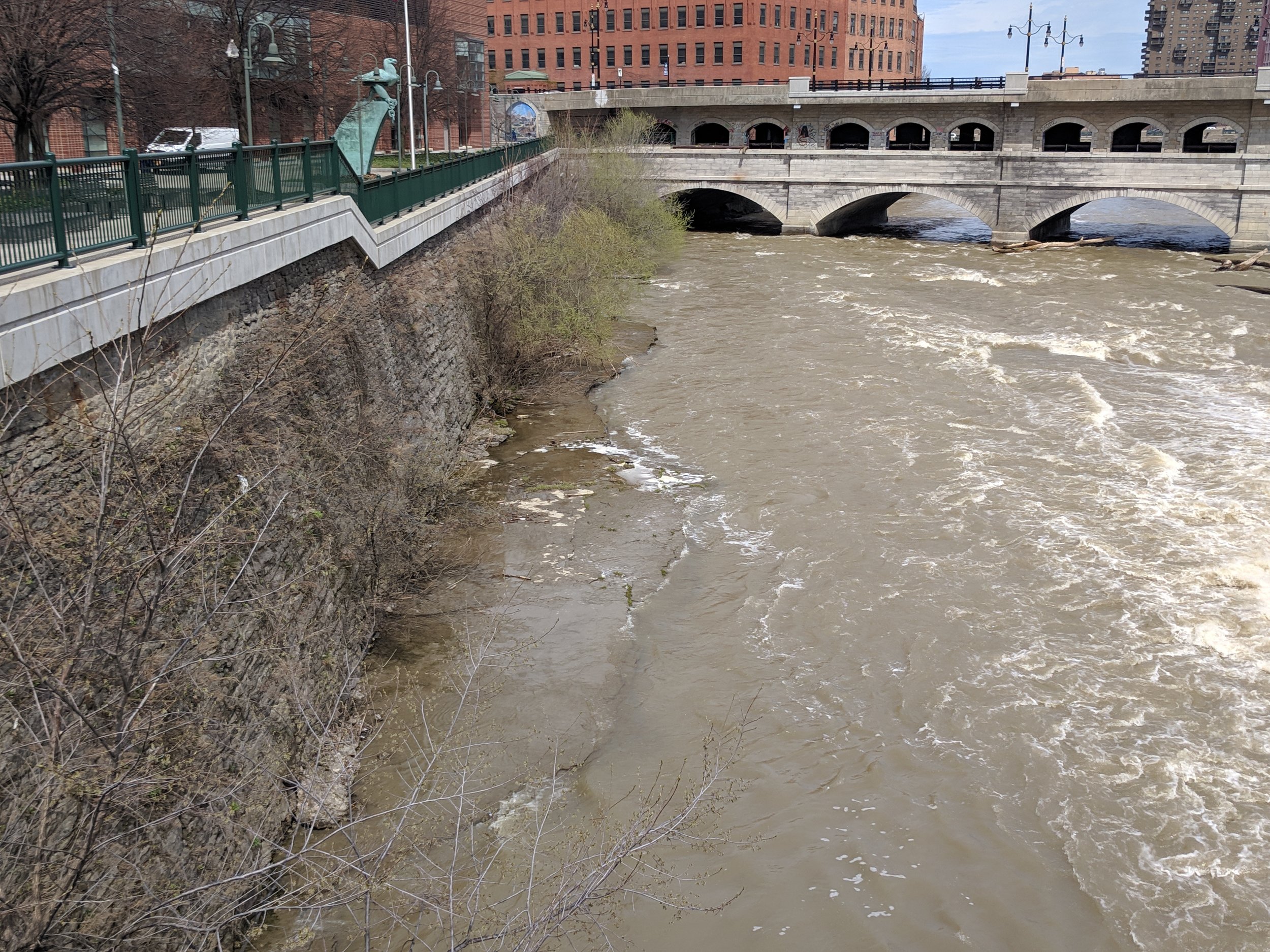
With the ROC the Riverway vision, the city has taken steps to address the desires of residents to have access to their river. Rochester has the ability to transform it’s waterfront to a greater extent than many other industrial hubs due to past decisions not to route railways and highways along the river’s banks. Combined with the variations in how the river behaves, the Roc the Riverway plan offers up a variety of riverfront experiences for residents; ranging from hiking trails along the South River to a revitalized aqueduct in Downtown Rochester to a running track bridge beyond High Falls.
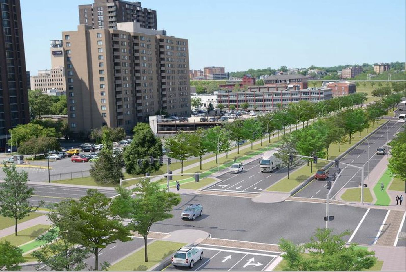
Focusing on the waterfront that runs through Downtown Rochester, the vision plan calls for an expansion of public spaces, including the complete reimagining of the aqueduct that carries Broad Street across the river. Each element would be interconnected and intersect with the Genesee Riverway Trailway, providing a vital link between 9 miles of trails south of and the 7 miles north of downtown.


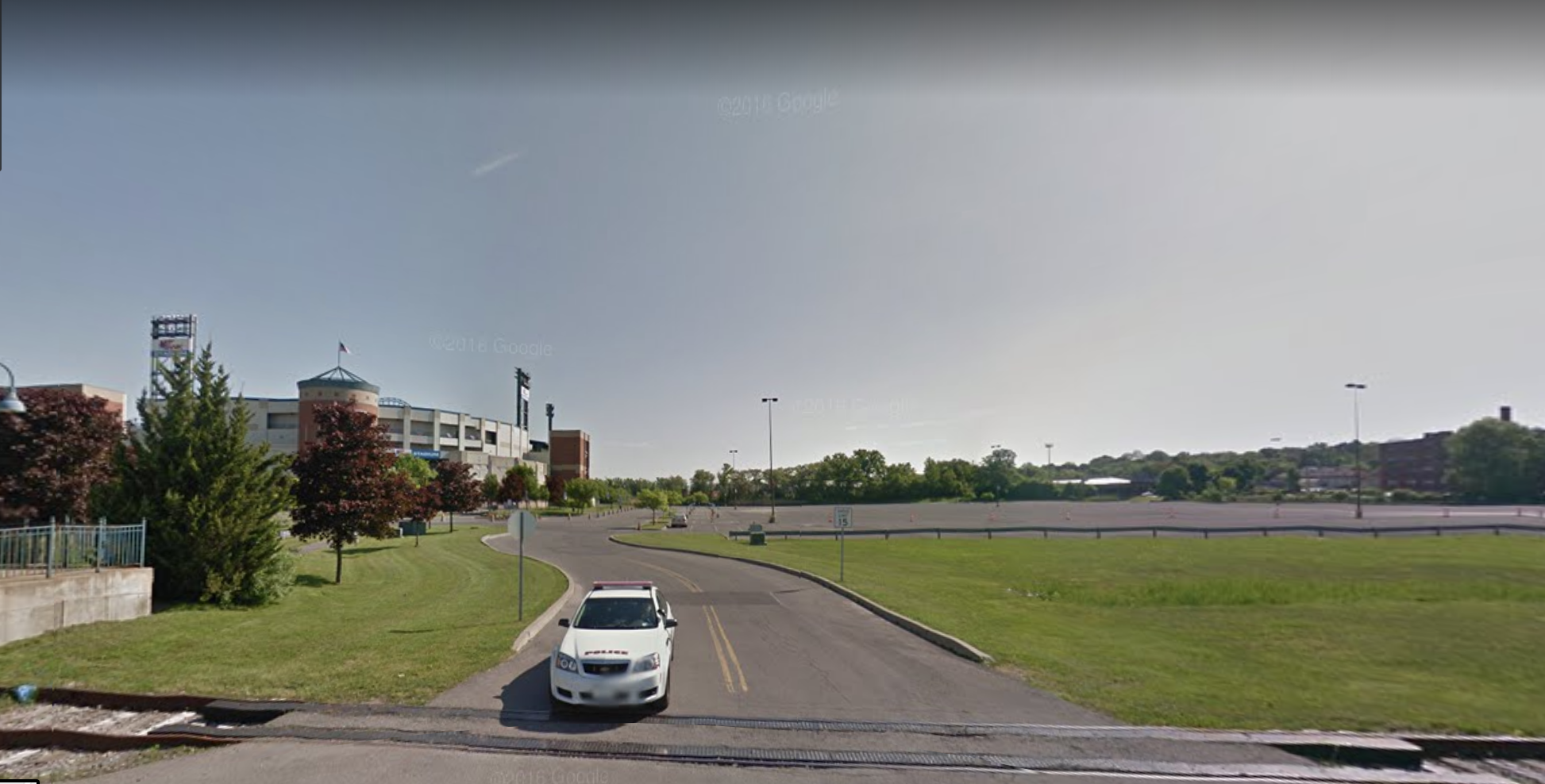
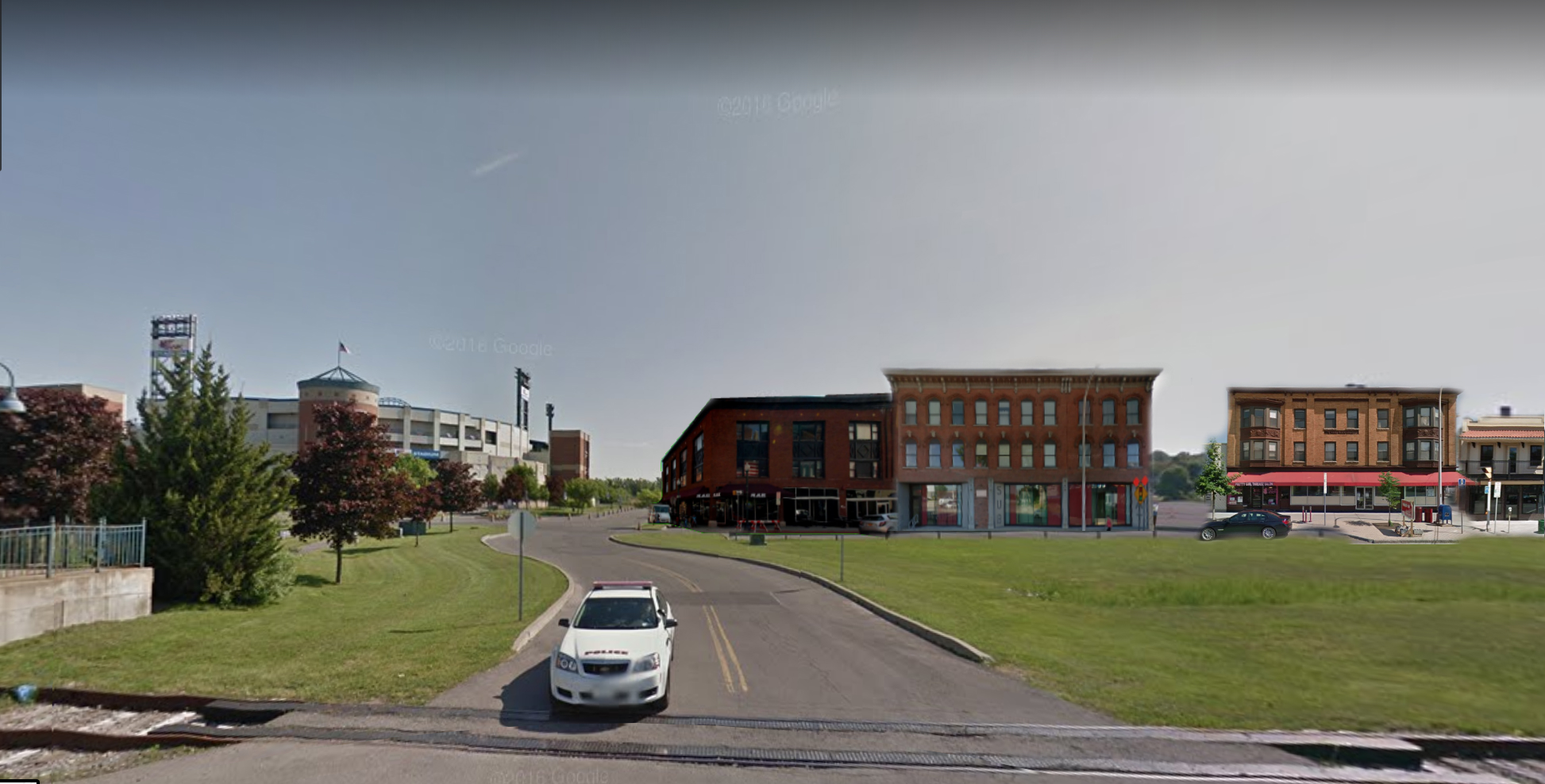
As part of this plan, the library would see the construction of an overlook terrace as well as a promenade behind the structure above the river. Broad Street would be removed, and the bridge would be deconstructed down to the original aqueduct level in order to make a more uniform walkway throughout the neighborhood. This deconstruction would remove all that remains of the former Rochester subway system while looking to mimic the former path of the Erie Canal. Just north of the library, the Rochester convention center would see an addition to allow for more active space facing the river. Across the river to the west, the Blue Cross Arena would also see improvements to create more active riverside frontage. Each of these pieces are designed with the intent of focusing visitors towards the river.
This vision is a strong step in the right direction, but there are opportunities to push the development along the waterfront further to create a truly unique neighborhood that preserves multiple histories of the river and the aqueduct.
Improving the Plan
ROC The Riverway achieves a grand vision for the entirety of the Genesee River through Rochester, but requires an expansion of thought when approaching the downtown portion of the river. In order to achieve a true reinvention of the downtown waterfront there are three major pillars that must be addressed; Preserving the former subway, adding greenery to the city, and getting residents close to the river. Each of these pillars will lead to a truly remarkable space in the urban center of the region and provide a catalyst for further development along the riverway.
Preserving the Former Subway
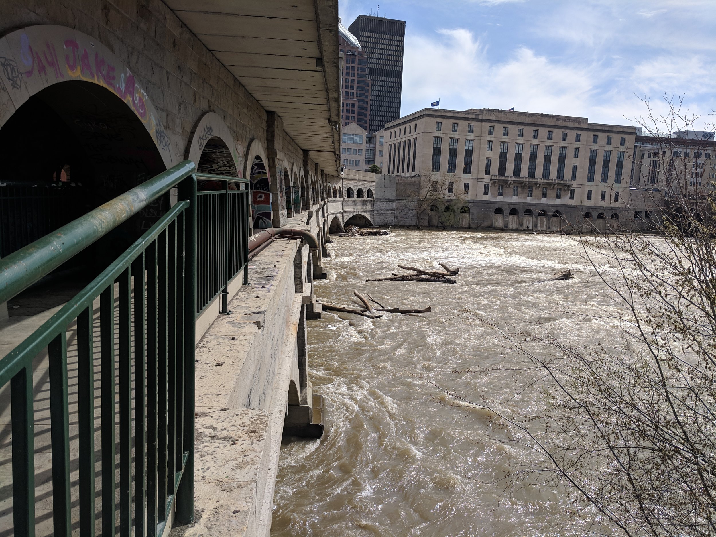
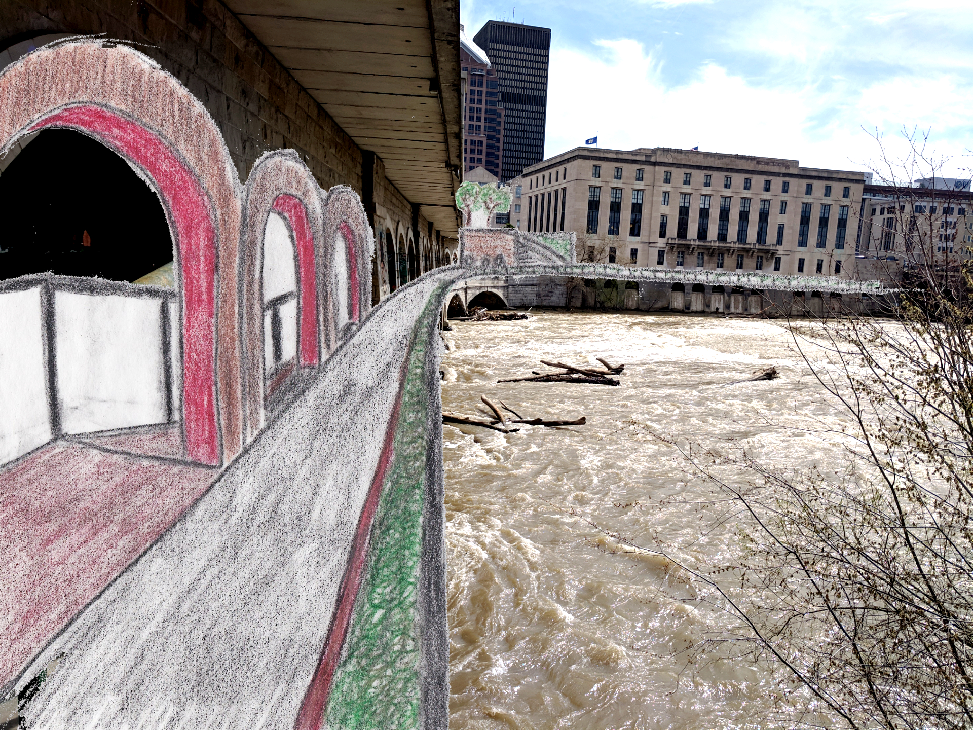
While ROC The Riverway concentrates on bringing the aqueduct back to the level of the former Erie Canal, it misses the history of what followed. The Rochester subway last ran across the Broad Street bridge in 1956, and has since given way to a living art piece, which is the remaining tunnel. Thousands of pieces of graffiti line the walls creating a vibrant, colorful experience for any visitor to the aqueduct.
Removing the roadway, as is required under the ROC The Riverway plan, would allow for a seamless route of promenades that lead to a newly constructed park on the aqueduct, but it would also remove the artwork that has been generated over decades in one of the most unique locations in the city. Instead, the designs should be reworked to preserve this semi-indoor art walk as part of the new park, while creating an outdoor space where the roadway currently runs.
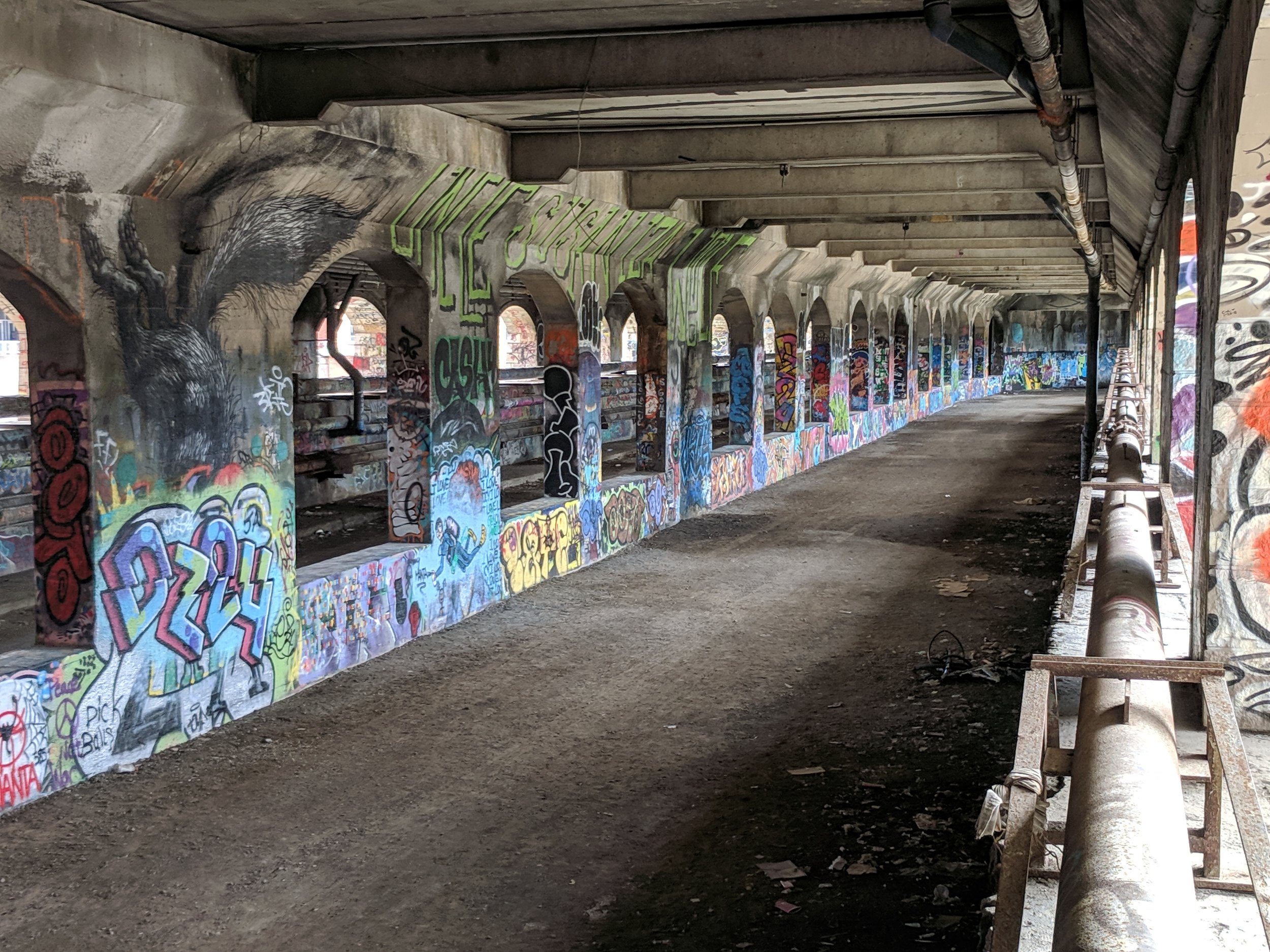
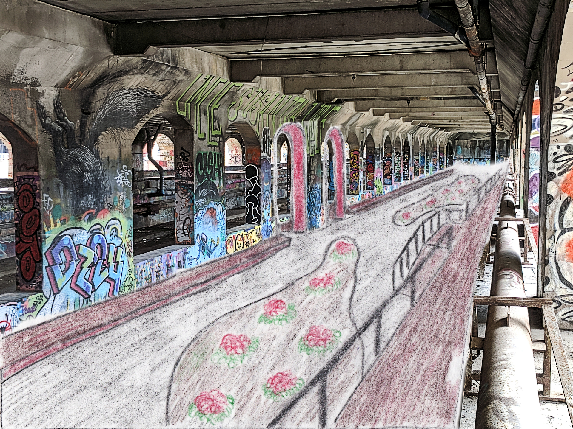
There have been numerous ideas of how to utilize the abandoned subway tracks, including creating a nightclub and event space, but should, in the end, remain open to the public as a park. Creating a semi-indoor park space will allow the waterfront to remain active all year round as visitors can be sheltered from harsh winter weather. The park will feature the current graffiti art while allowing for new graffiti to be painted, continuing with the tradition of this living art piece. With such a strong and vibrant arts community, emphasizing this artistic treasure will encourage the development of further art spaces and promote the city as a place that values creativity.
Outside of the aqueduct, at grade level with the new promenades, will be an additional promenade that runs the length of the bridge, providing views into the subway while remaining close to the water, with views of the rapids beneath.

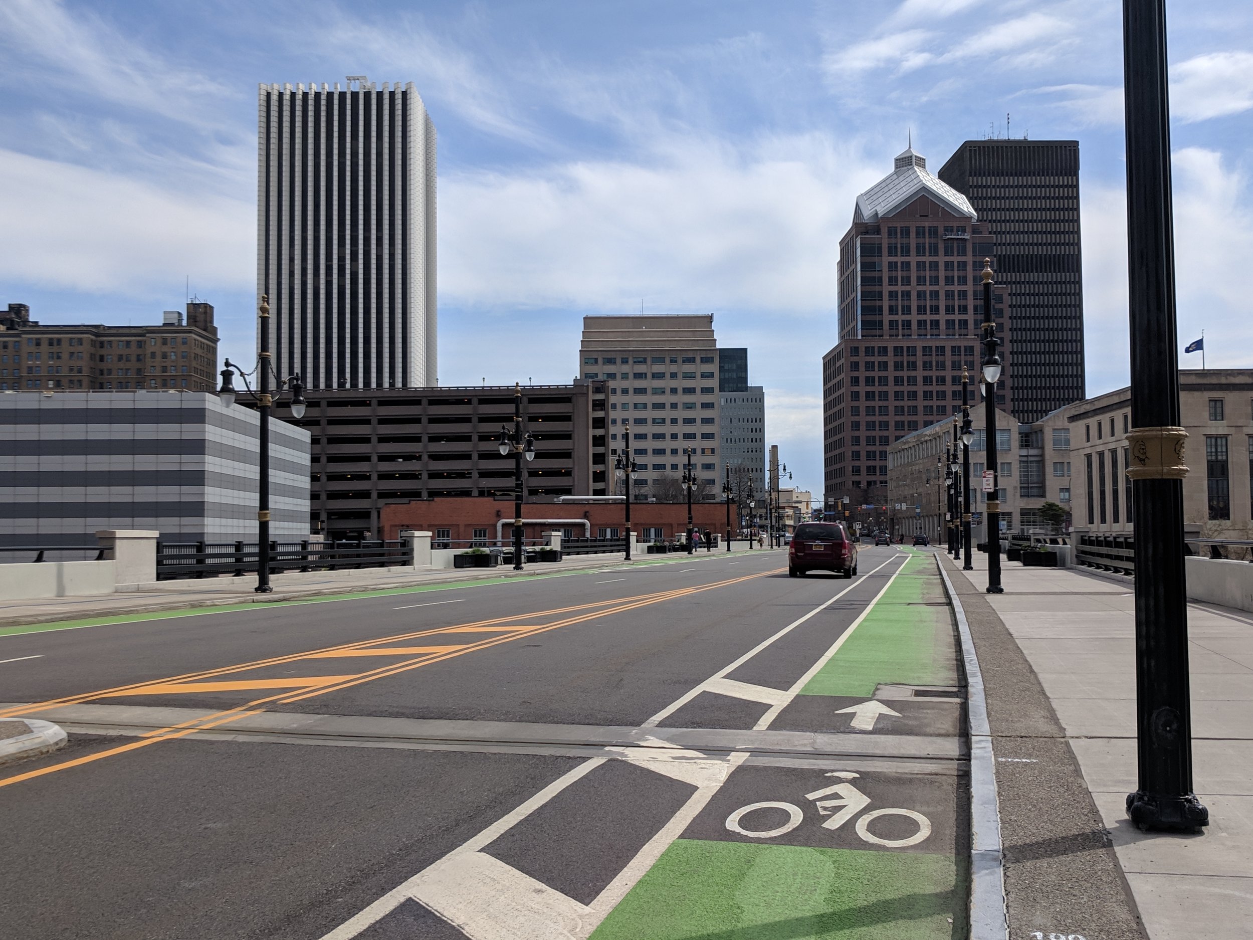
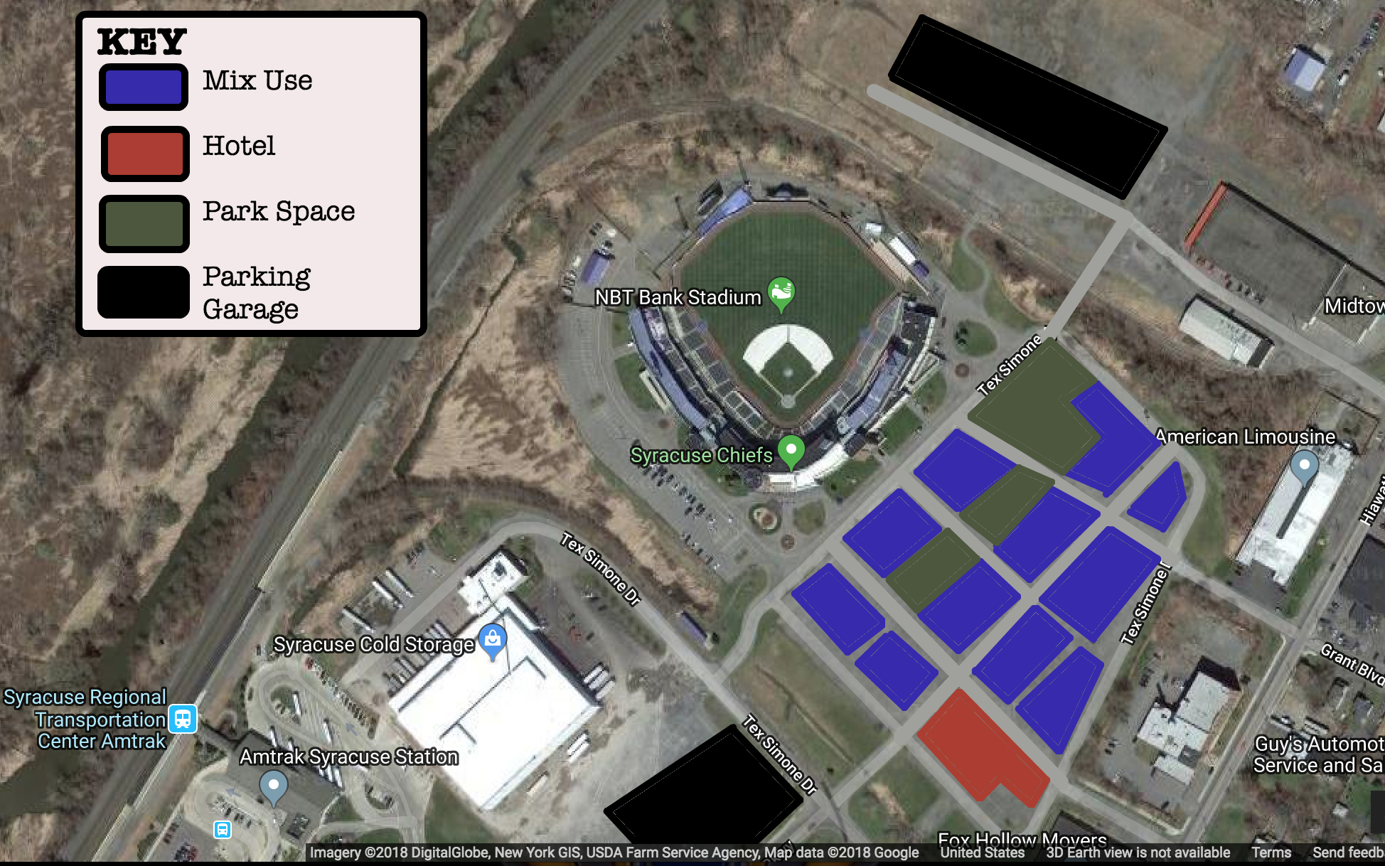
Minimal greenery and public space in the surrounding areas.
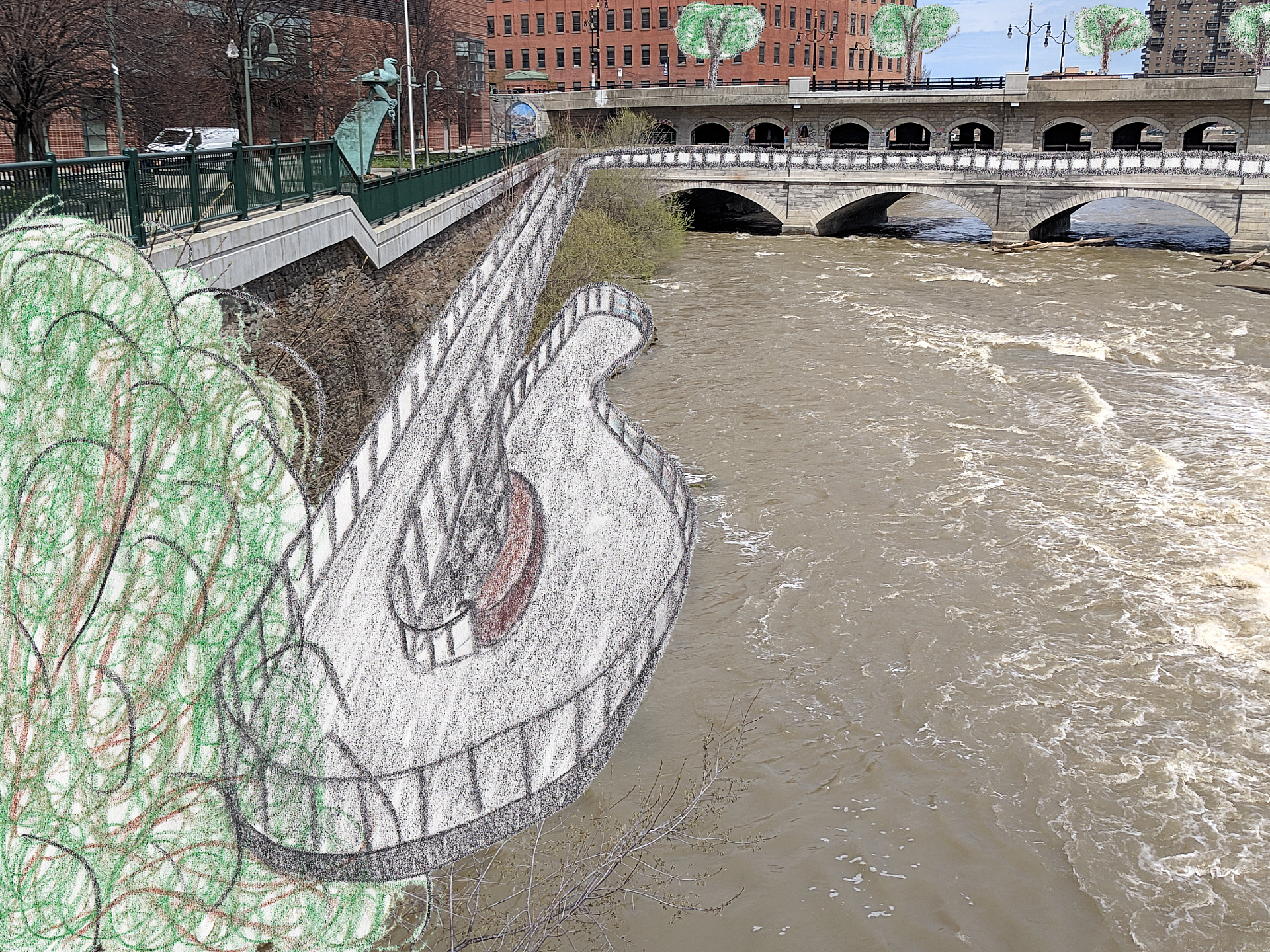
Adding Greenery to the City
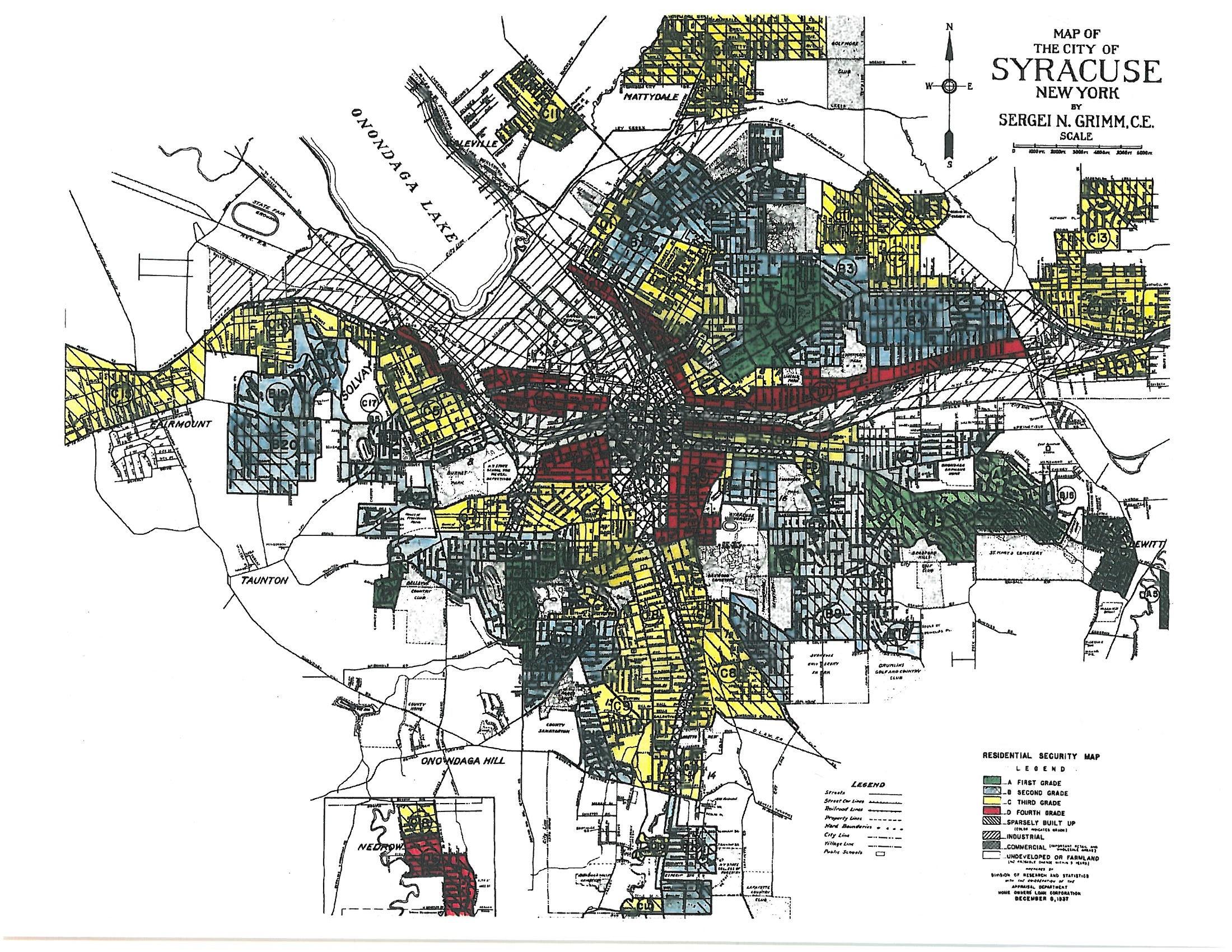
Where the roadway currently sits will be transformed into a green park with a narrow waterway that is reminiscent of the Erie Canal. It is important for this park to be filled with greenery as the surrounding area is devoid of greenspace, which is evident when looking at satellite images.. This bridge will be overflowing with trees, flowers, and open green space for residents, workers and visitors to enjoy. With the convention center and Blue Cross Arena straddling either side of the bridge, this open space will act as a connection between both entertainment complexes, while also providing outdoor recreation area.
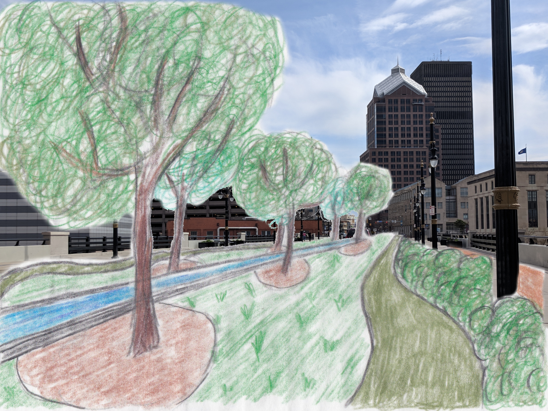
The greenery would continue on to the promenades that will connect throughout the neighborhood. This will be reminiscent of the “green ribbons” that originally connected the major parks within Buffalo, NY, still one of the greatest examples of park systems within the United States. As the central hub of the Genesee Riverway Trailway, these green promenades will act in a similar fashion to the “linear parks” of the Buffalo parks system, allowing visitors to feel engulfed by plant life until they arrive at one of the larger parks along the route, gaining access to open space and views of the city center.
Getting Residents Close to the River
The final piece to the vision for Downtown Rochester is about access. While the water is too turbulent for boating opportunities in the city center, residents and visitors should be able to feel as though they are interacting with the river. There are two spaces that provide opportunities for water access.
Directly behind Blue Cross Arena, a lower promenade can be constructed to provide closer viewings to the rapids as they rush under the Court Street bridge. A second viewing area, as proposed by ROC The Riverway, would be located just to the north of Blue Cross Arena along Thomson Reuters. These two promenades offer the only opportunities for visitors to be near the water in Downtown Rochester, as well as provide excellent opportunities for fishermen to fish in an urban environment.
Sources
“The Genesee River” City of Rochester, NY, https://www.cityofrochester.gov/geneseeriver/. Accessed April 23, 2019
Horbovetz, Adrian. “Why Rochester is so Disconnected from the Genesee River.” The Urban Phoenix, Feb. 7, 2018, https://theurbanphoenix.com/2018/02/07/disconnectedgenesee/. Accessed April 23, 2019
Williamson, Ryan. “Downtown Rochester’s Upward Climb.” City Newspaper, March 27, 2019, https://www.rochestercitynewspaper.com/rochester/downtown-rochesters-upward-climb/Content?oid=9917396. Accessed May 2, 2019
“Local Waterfront Revitalization Program (LWRP).” City of Rochester, NY, https://www.cityofrochester.gov/LWRP/. Accessed April 27, 2019
“Environmental Protection Fund: Local Waterfront Revitalization Program Grants.” NYS: Department of State of Planning and Development, https://www.dos.ny.gov/opd/grantOpportunities/epf_lwrpGrants.html. Accessed April 27, 2019
“Downtown Revitalization Initiative.” New York State, https://www.ny.gov/programs/downtown-revitalization-initiative. Accessed April 27, 2019
“Historic Preservation Grant Program.” New York State Parks, https://parks.ny.gov/grants/historic-preservation/default.aspx. Accessed April 28, 2019
“Next Generation Manufacturing and Technology.” Finger Lakes Forward, http://fl.he2.us/categories/3. Accessed April 27, 2019
“Philanthropy.” The Golisano Foundation, http://www.golisanofoundation.org/Tom-Golisano/Philanthropist-Philanthropy.aspx. Accessed May 2, 2019
ROC the Riverway Advisory Board. ROC the Riverway: A Vision Plan for the Future of Rochester’s Genesee Riverfront, prepared by Bergmann, May 2018
Vondrack, Otto M. “About the Once Vital, Now Abandoned Rochester Subway.” Rochester Subway, http://www.rochestersubway.com/rochester_subway_history.php. Accessed April 27, 2019
“Reimagining Rochester’s Underground.” Rochester Subway, August 31, 2014, http://www.rochestersubway.com/topics/2014/08/reimagining-rochesters-underground/. Accessed April 27, 2019
Buffalo Olmsted Parks Conservancy. “Introduction.” The Olmsted City, 2003, http://regional-institute.buffalo.edu/wp-content/uploads/sites/3/2015/11/The-Olmsted-City-TheSystemPlan2008.pdf. Accessed April 28, 2019
“Genesee River.” Lake Ontario Fishing, https://ilovenyfishing.com/genesee-river/. Accessed April 28, 2019


