• Blog
  • Blog Index
  • Video Work
  • About
Menu

Thomas Bardenett

Urban Planning - Writer - Filmmaker
  • Blog
  • Blog Index
  • Video Work
  • About

The Valley of the Sun - A Land of (Sub)Urban Extremes

March 21, 2024

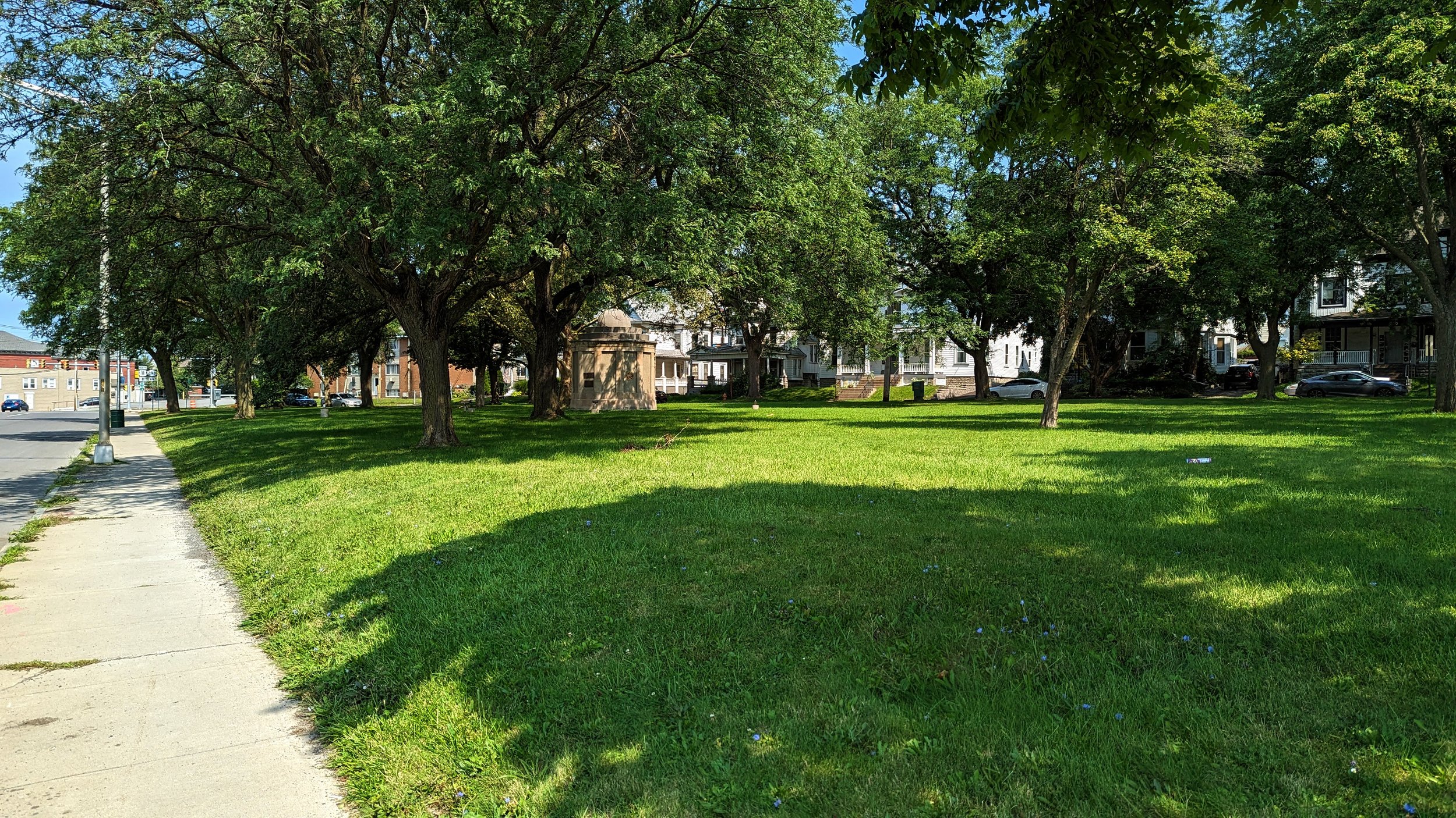
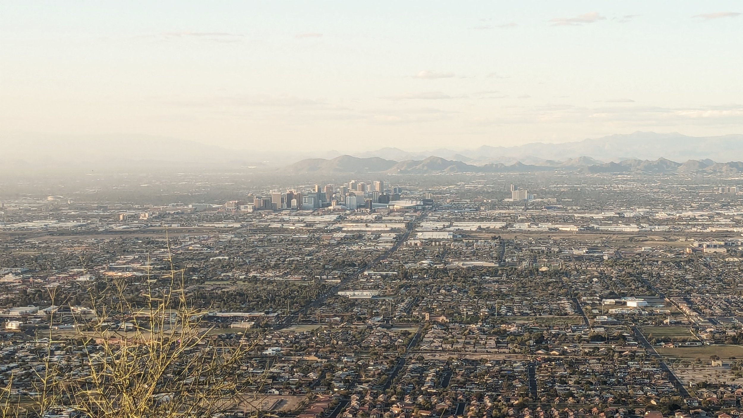
The desert - a place we often associate with vast, seemingly empty space. Where animals are often nocturnal to avoid the daytime heat and cacti have adapted to live off the minimal amounts of rain that comes each year. It's more associated with surviving than thriving. And yet, one of the United States’ fastest growing cities has sprung from the desert.

Phoenix, Arizona is sometimes derided as a suburban hellscape. Just an endless sea of sprawl that reaches for miles in all directions, sucking up the few resources that surround it, resulting in never ending conversations around drought and water supply. Yet, while it receives harsh critiques, many of which are warranted, there are signs that things are changing and a more sustainable version of the Valley may be on its way.

As I like to do when I visit different urban environments across the country, let’s take a look at what’s working, what’s not working, and some of the promising changes greater Phoenix is experiencing. While you’ll be hard pressed to find a city more different than Syracuse in terms of climate, that does not mean there aren’t things we can learn from it. It is also important to remember that these are really only first impressions, as no amount of short visits can tell the lived experience of the region.

With that in mind, let’s start with the bad - Lanes, lanes, and more lanes.

View fullsize Wide neighborhood street - Mesa.jpeg
View fullsize Wide streets .jpeg
View fullsize Screenshot 2024-03-21 at 7.35.08 AM.png
View fullsize Screenshot 2024-03-21 at 7.35.49 AM.png

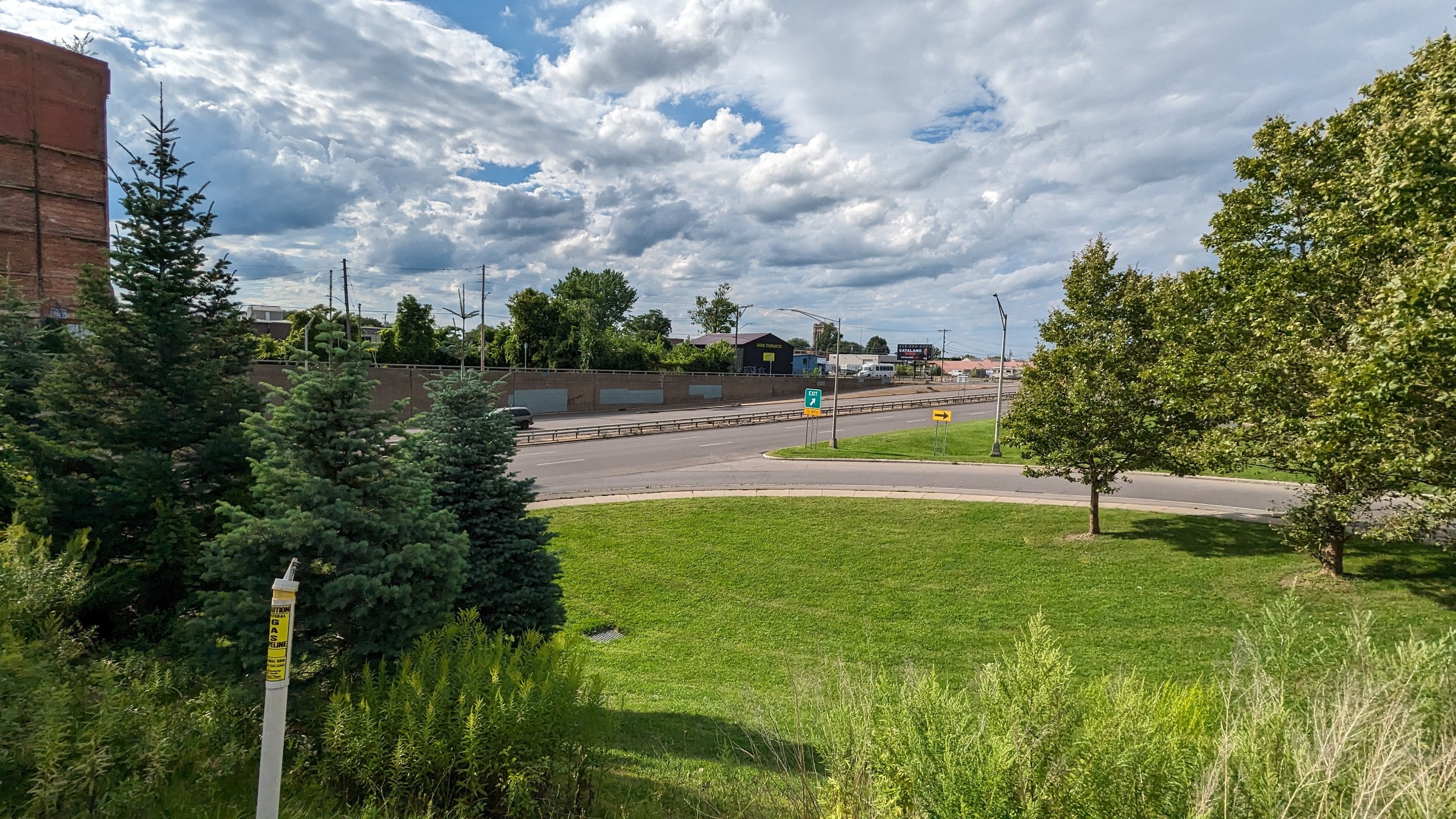
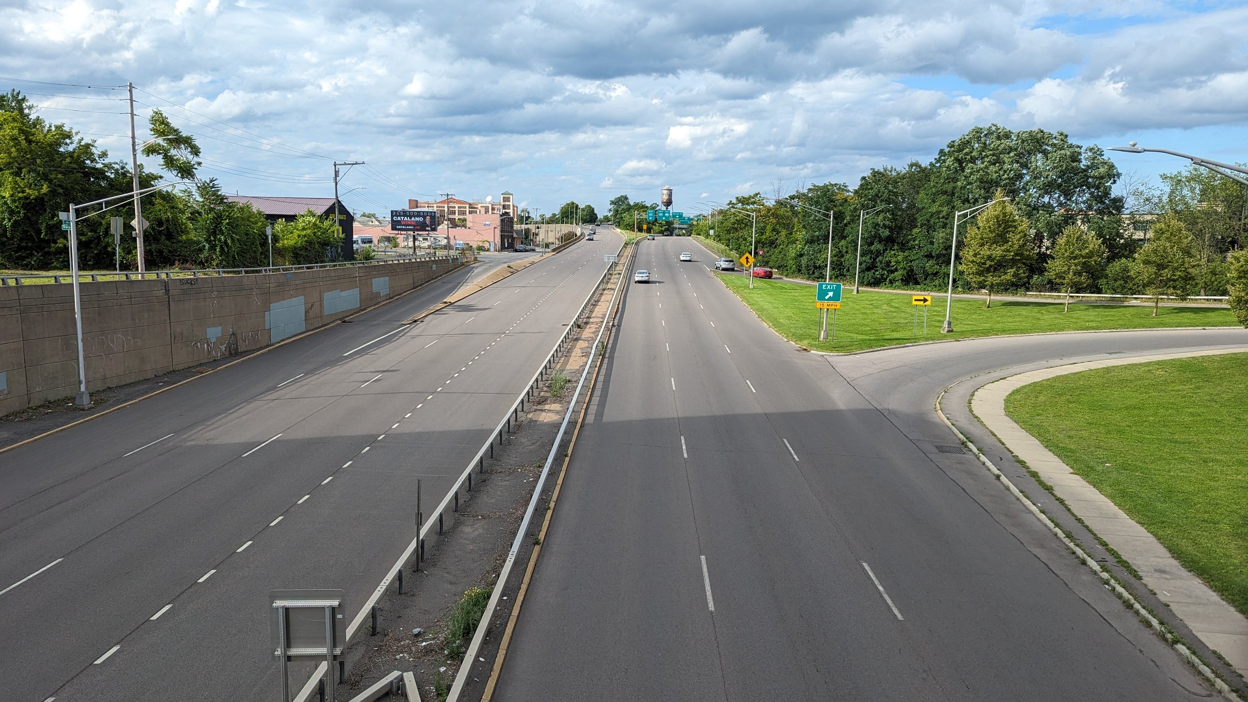
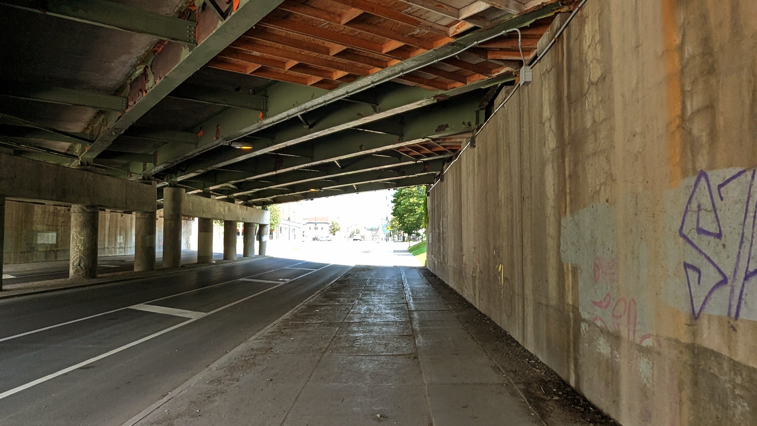
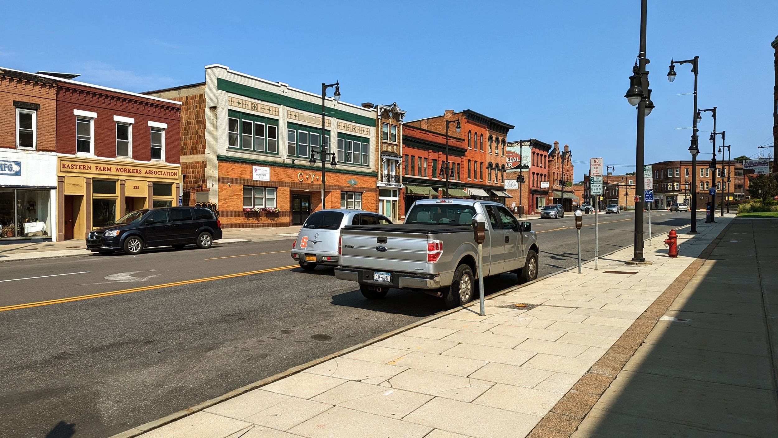
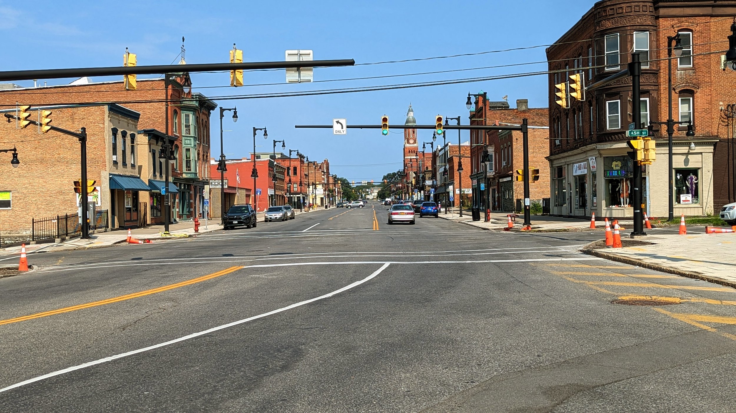
Los Angeles, often considered a car centric city with its wide highways cutting through the Hollywood Hills and its bumper to bumper traffic, is nearly 3x as densely populated (8,304 people/sq mile) as Phoenix (3,104 people/sq mile) when just looking at the central cities. Daily transit usage is roughly 8x higher in Los Angeles while the metropolitan area is home to roughly 2.5x more people. As a result, Phoenix amplifies these roadway issues as nearly everyone drives. Many neighborhoods are bordered by major arterials with 5-7 travel lanes and vehicles moving at 40+ mph. Add on top of that the incredible amount of highways that criss cross their way across the region. Traveling across the Valley, you run into multiple highway expansion projects, a signal that the region is doubling down on car infrastructure, enshrining personal vehicles as its primary mode of transportation into the future.

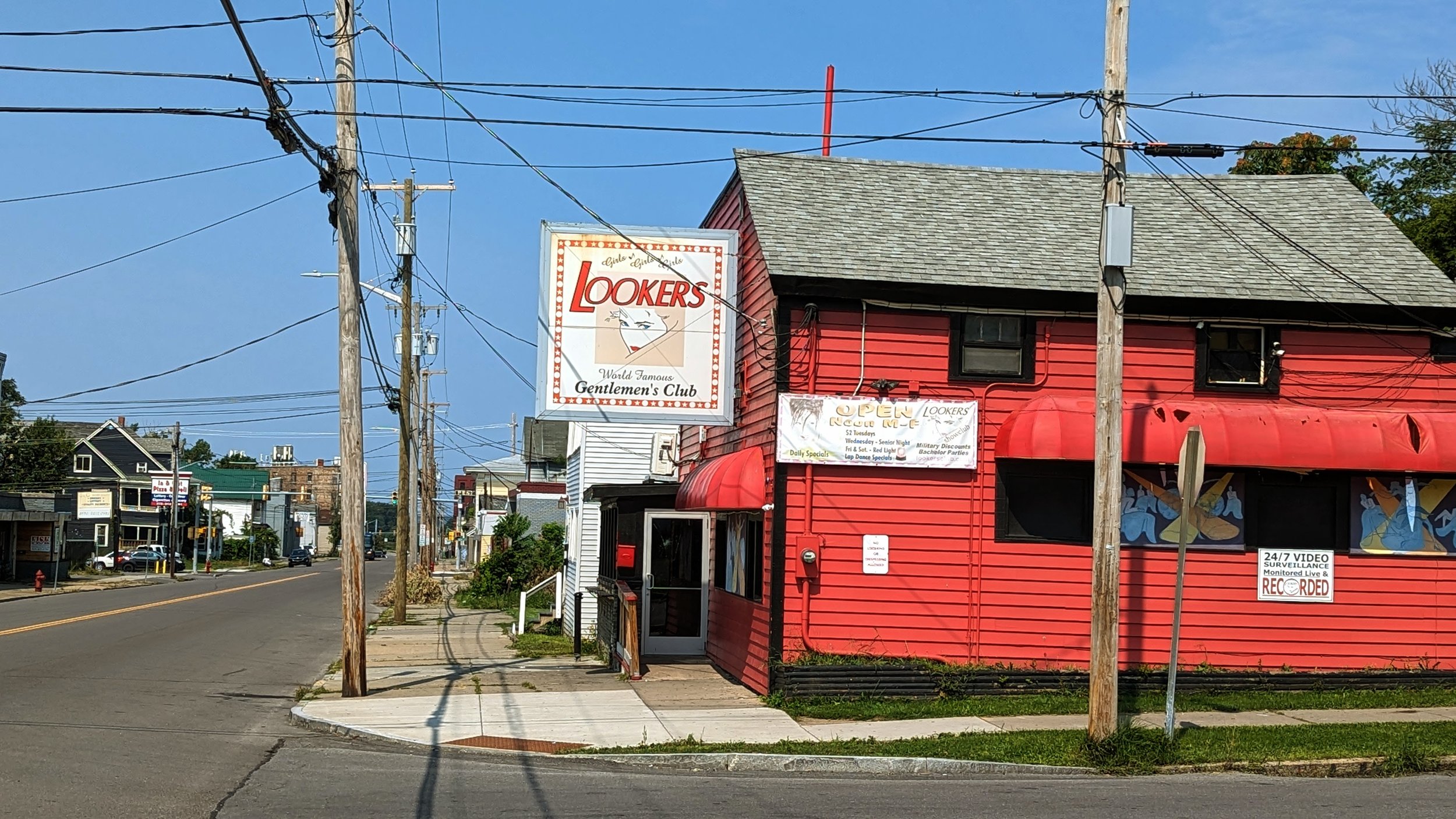
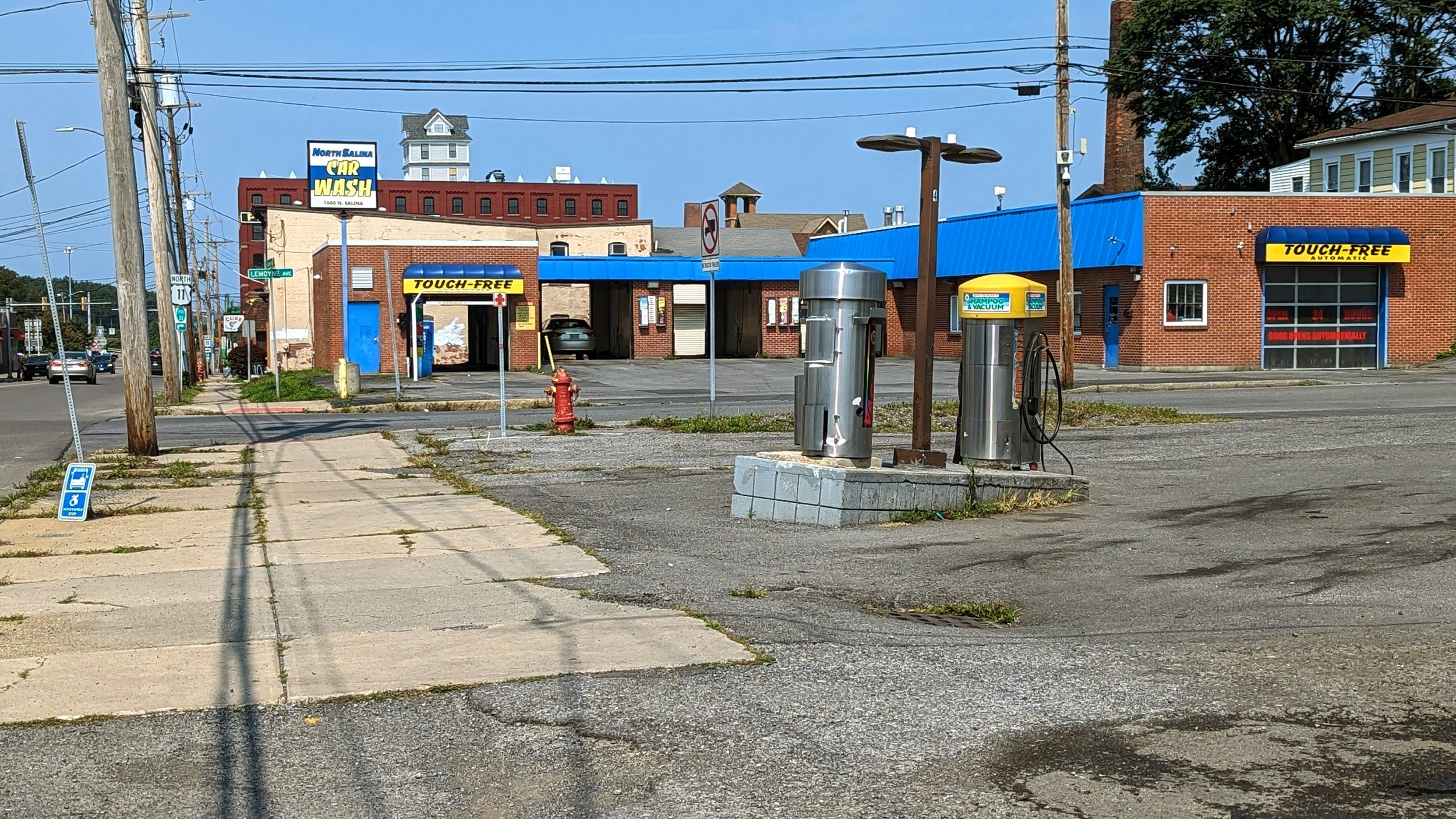
Not only are the streets and roadways built for ever increasing car traffic, your destinations are increasingly oriented around never leaving your car as well. Drive-thru salads, cafes, and even liquor stores line many of the main streets outside of the city center. Cars queueing up to wait 10-30 minutes wind their way onto side streets, backing up traffic and block crosswalks. In many ways, suburban Phoenix shows what suburban Syracuse is approaching if changes aren’t made soon. Tully’s has proposed a drive-thru version of its restaurant and Chick-fil-as are sprouting up with increasing frequency throughout our suburbs.

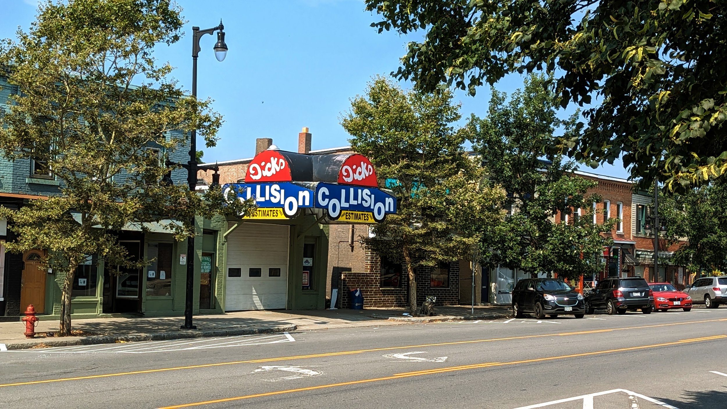
As a result of these development patterns, it should come as no surprise that Phoenix and its neighbor, Mesa, are considered two of the 10 most dangerous cities to drive in, ranking 6th and 8th respectively. In my short time in the metro area, multiple car crashes blocked intersections and rerouted traffic. Fast moving cars, weaving across multiple lanes are simply a recipe for disaster.

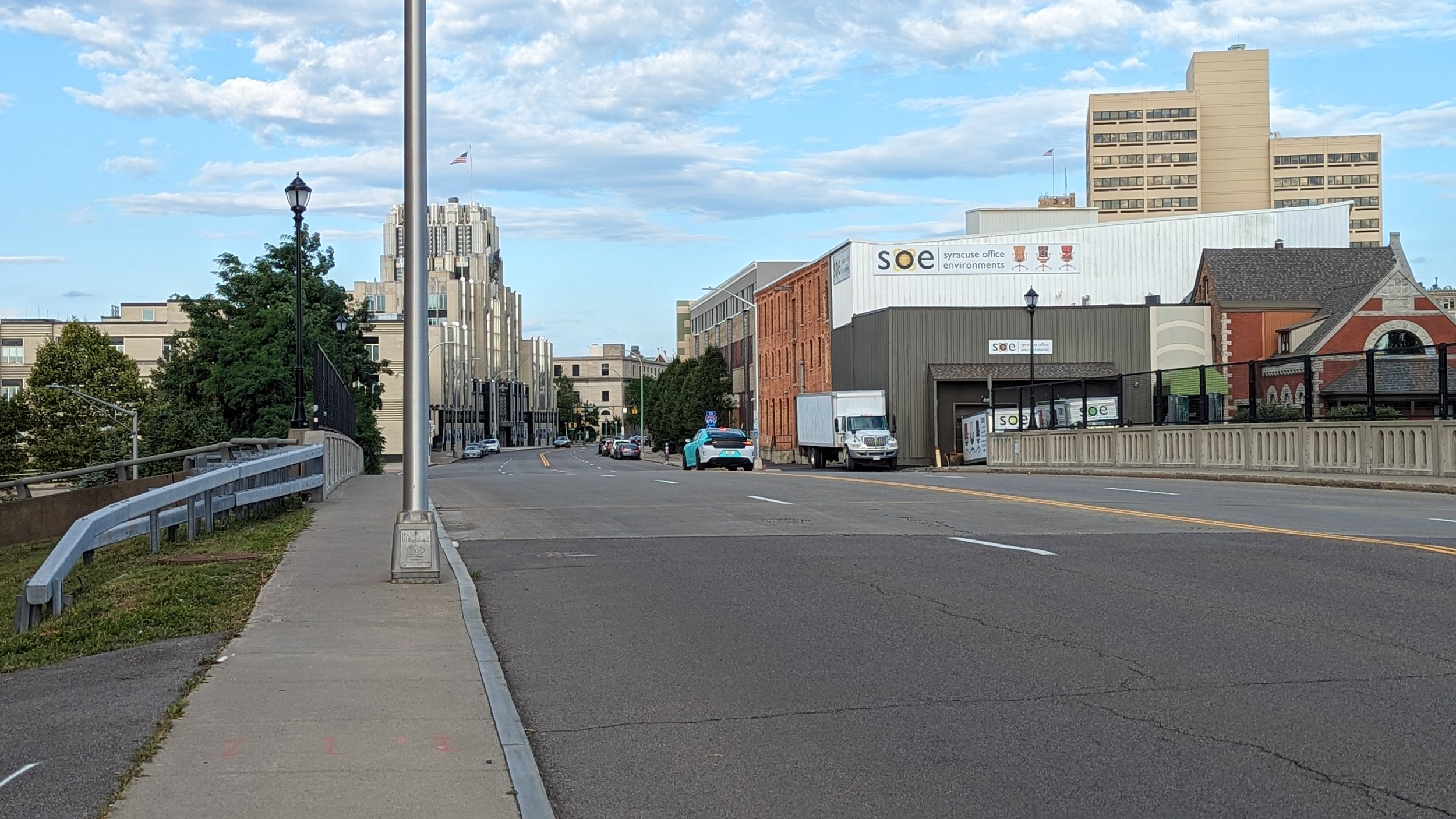
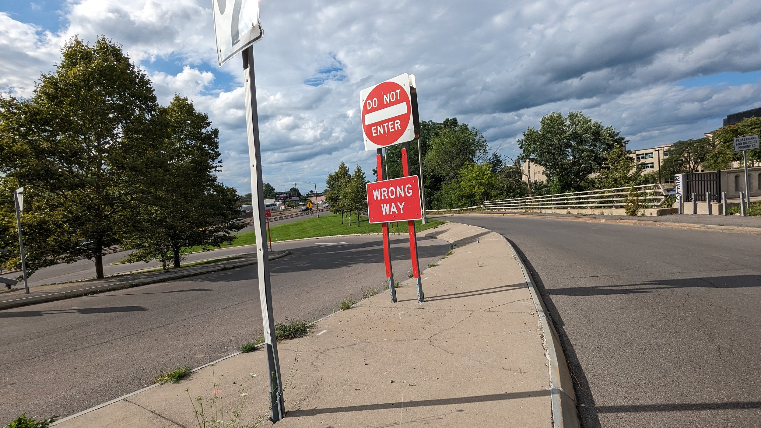
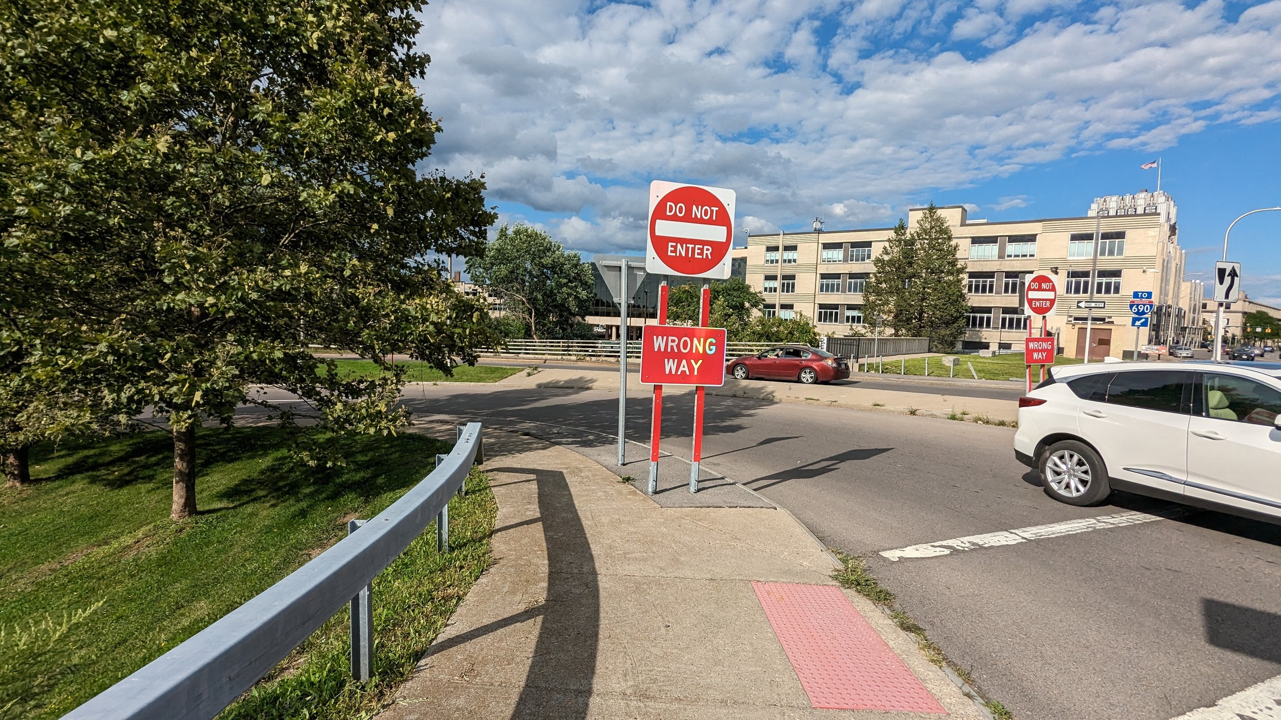
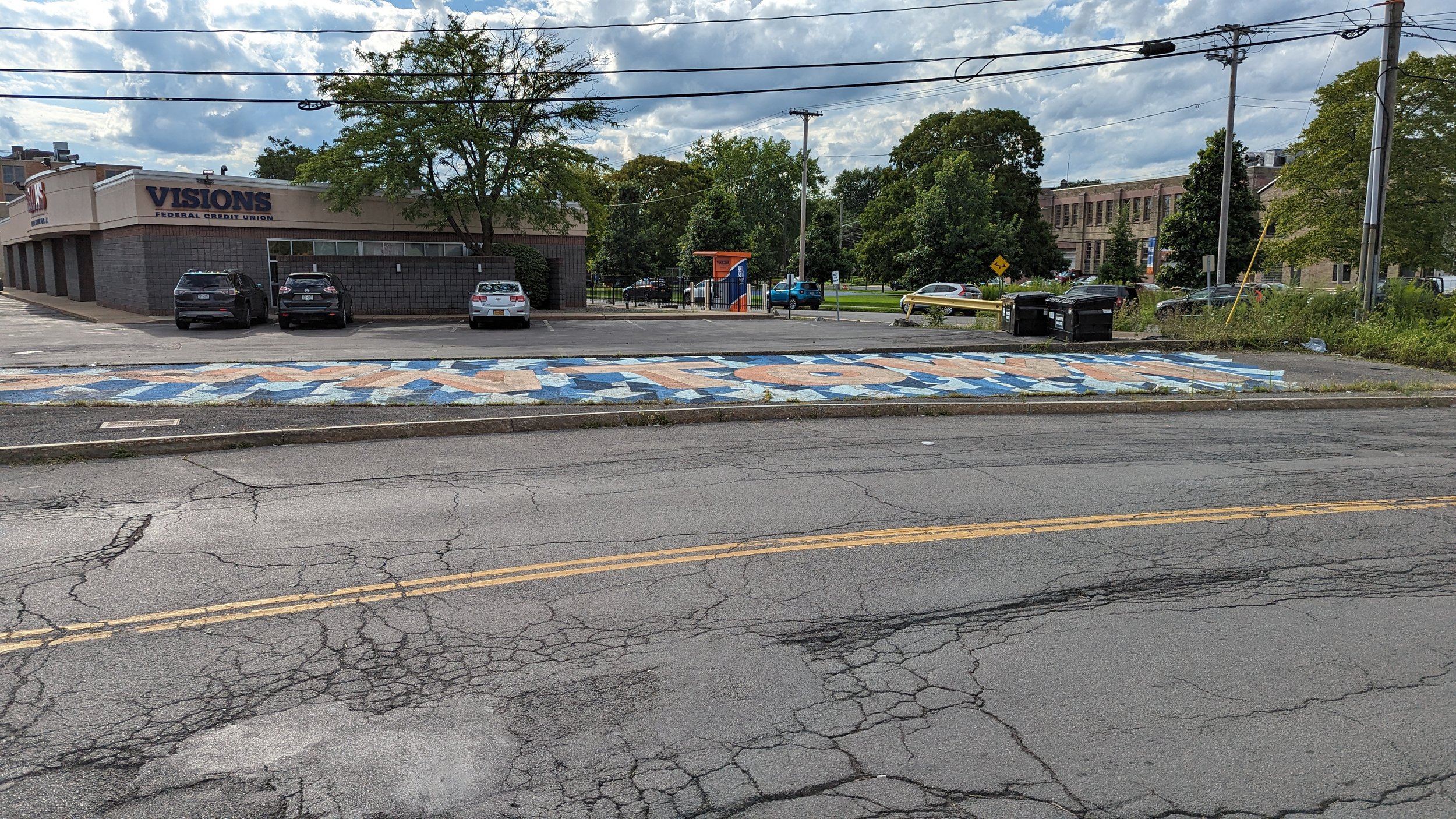
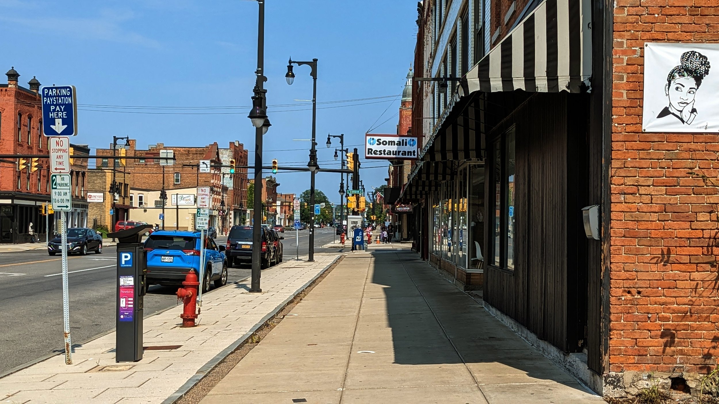
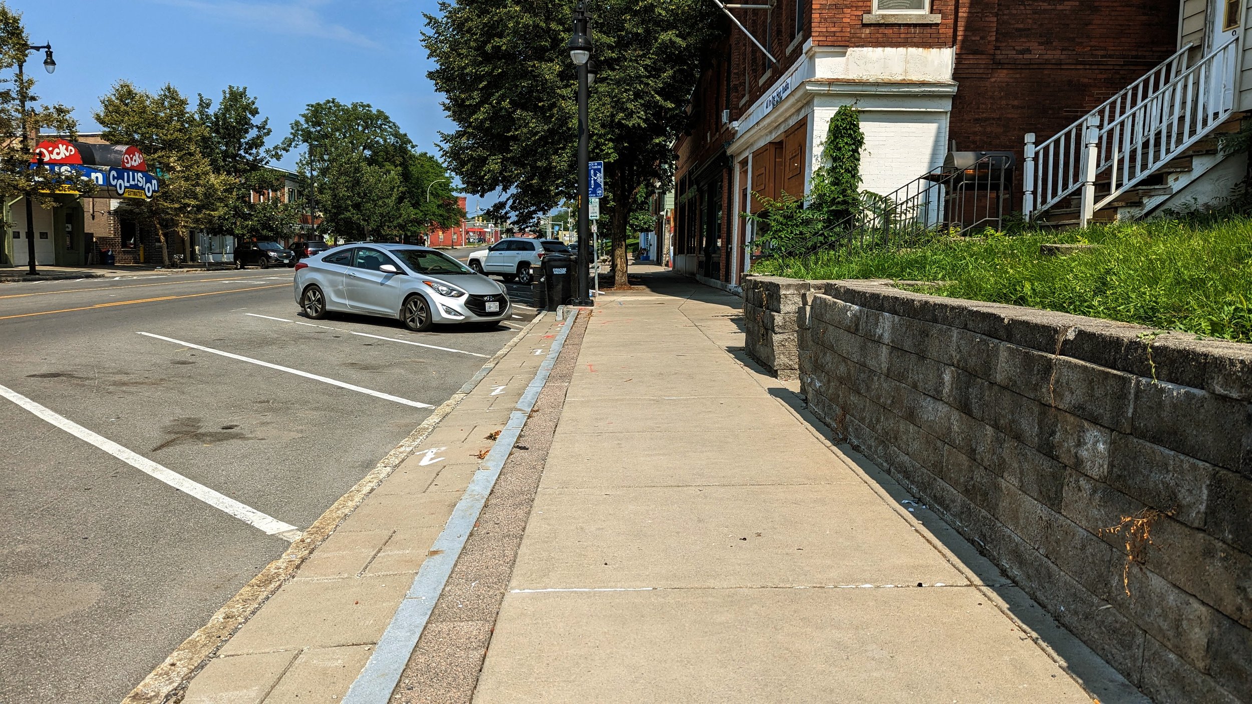
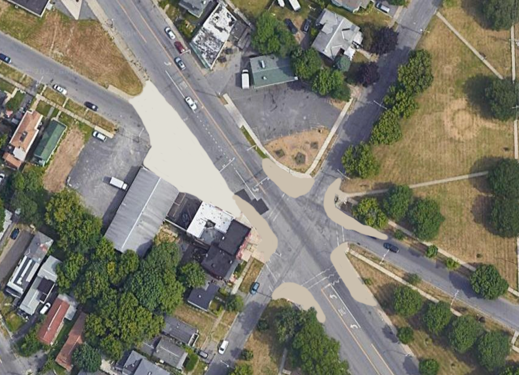
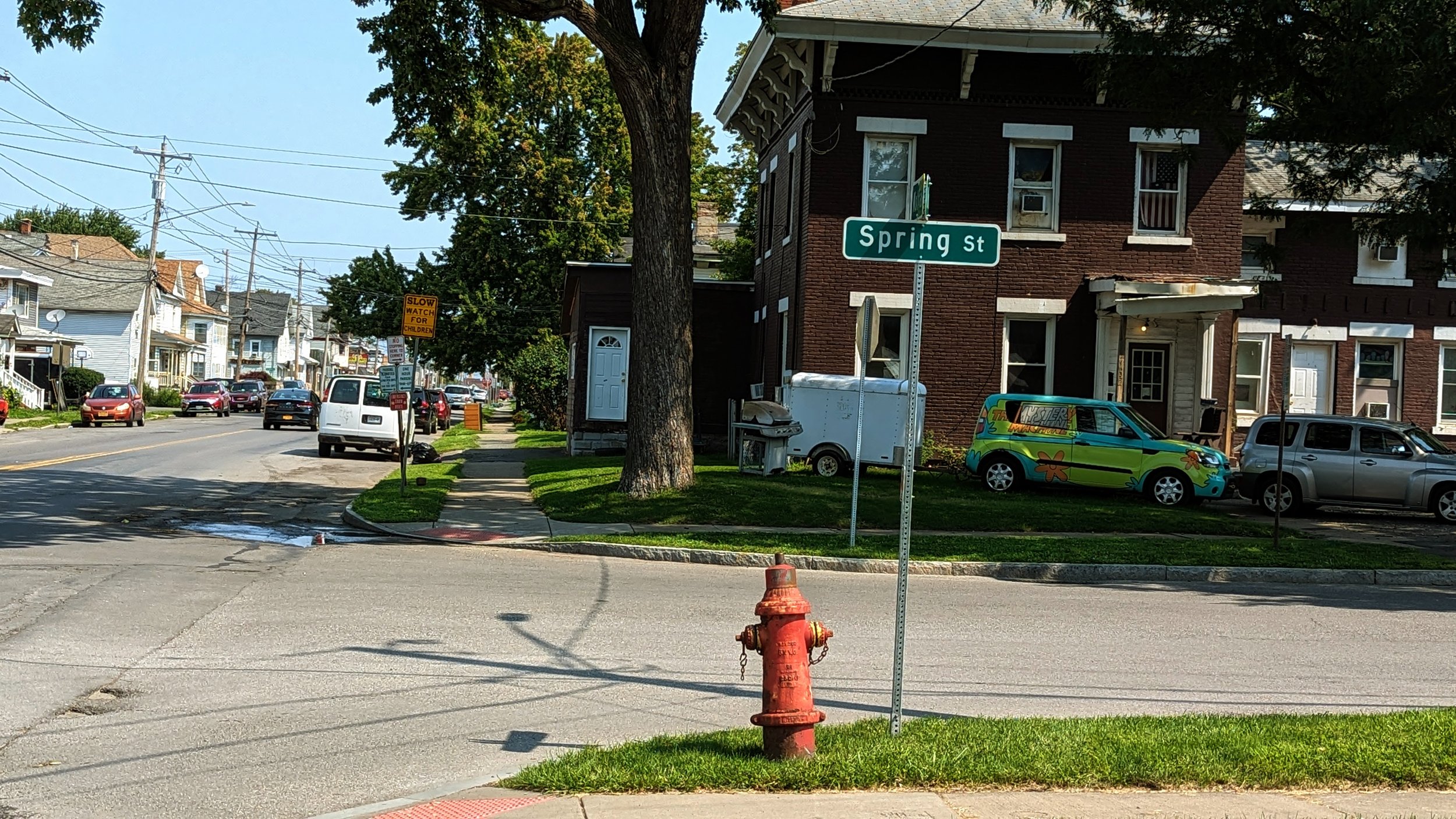
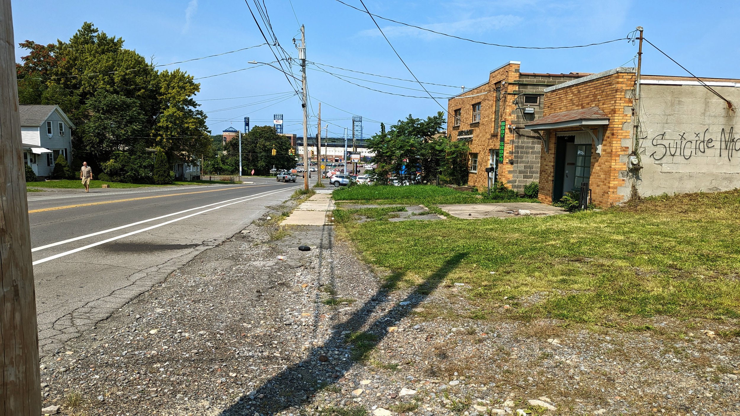
On top of the dangers for drivers, Arizona is ranked as one of the deadliest states in the country for people walking. As dangerous as it is for drivers to traverse multiple lanes in order to turn, the extremely wide intersections leave people on foot and on bikes exposed to danger for longer. Multiple turning lanes also make it difficult for people walking to be confident that all cars are stopped, reducing the feeling of safety. Ultimately, when you do not feel safe walking, you work to find another way to get around, often in a car, leaving the streets more dangerous for those without any other option. Most people in Syracuse would choose to avoid walking on Erie Blvd E or Genesee St in Fayetteville or Rt 31 in Clay. But when your neighborhood is encircled by roadways of that scale, it is hard to avoid.

View fullsize Sidewalks in Mesa.jpeg
View fullsize Tempe Vision Zero bike lane.jpeg

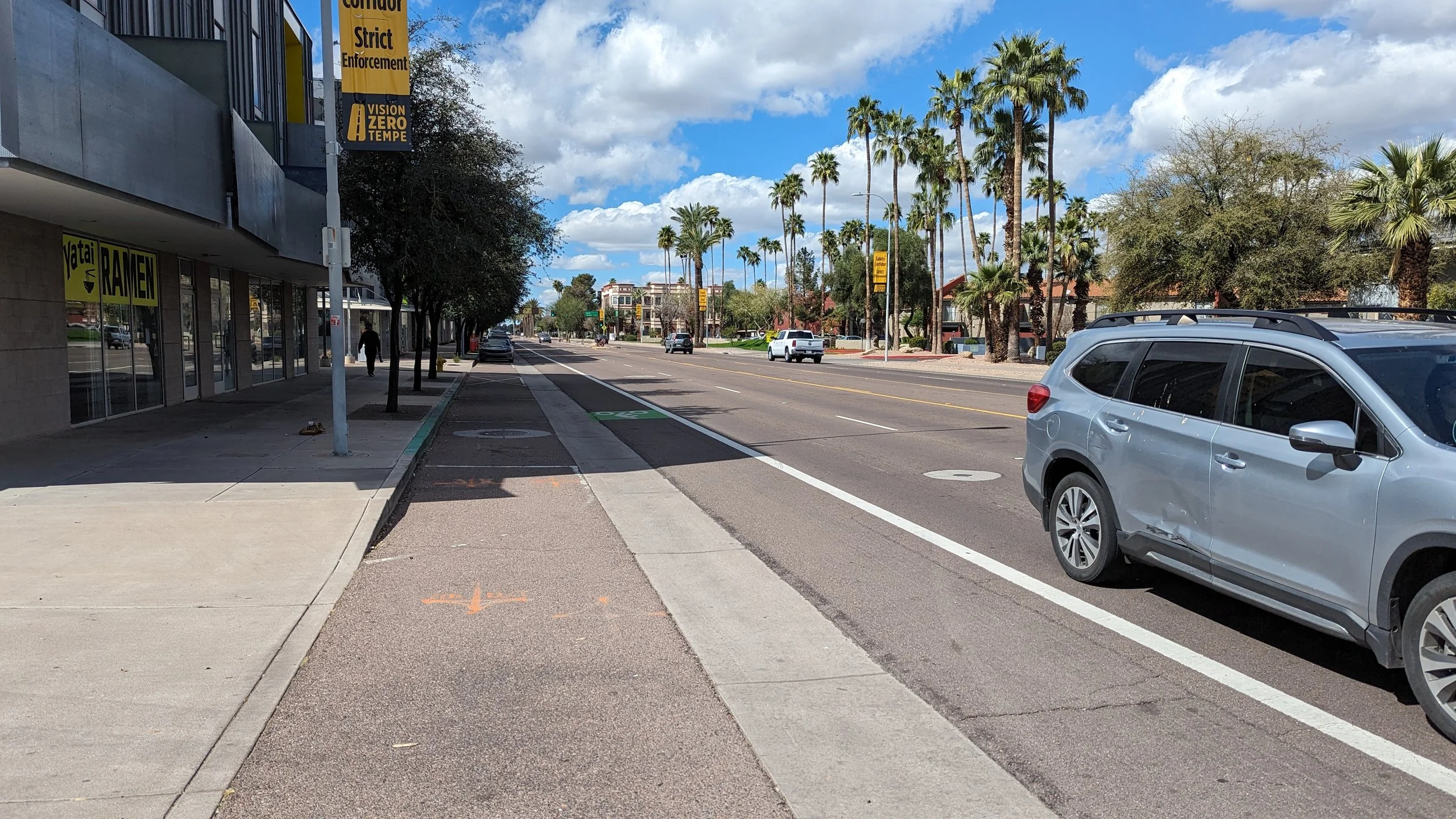
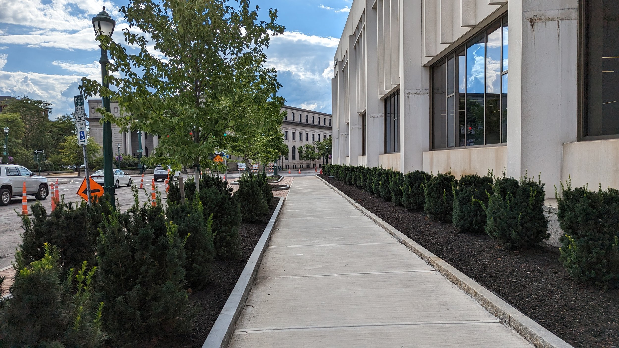
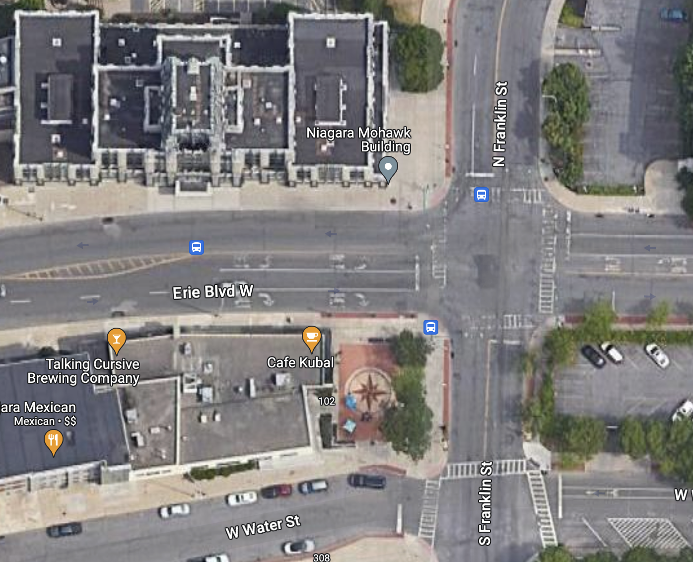
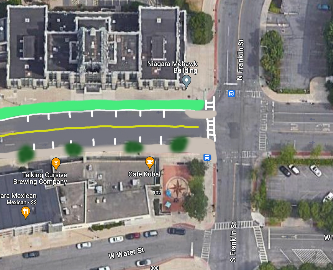
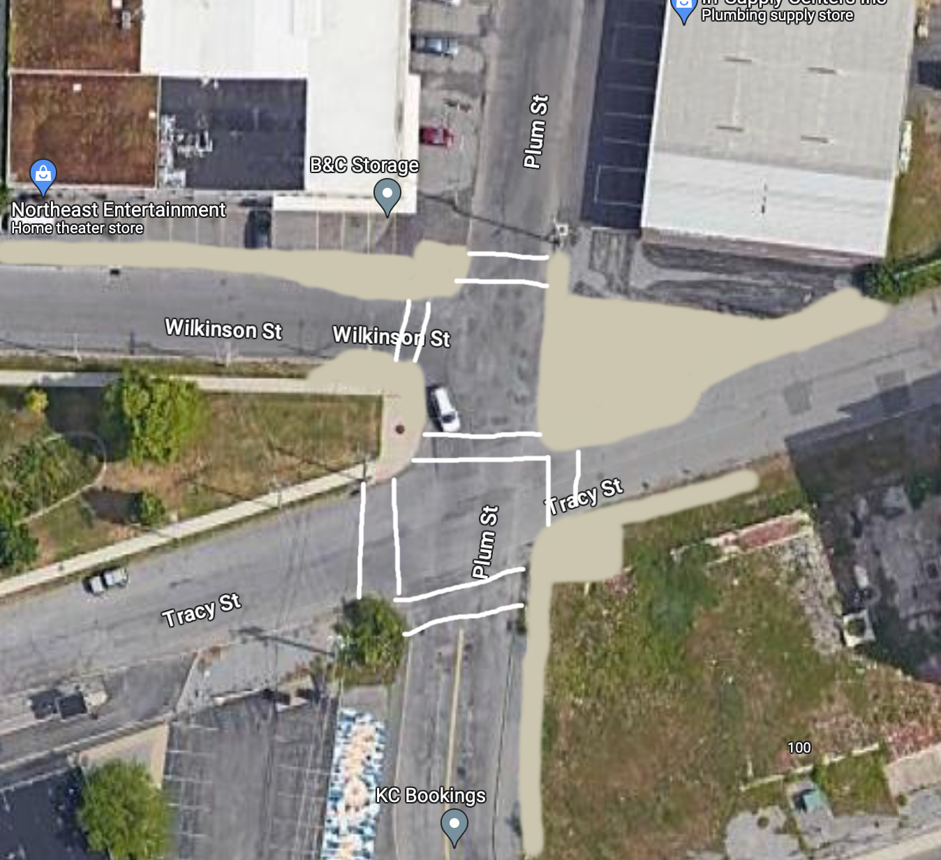
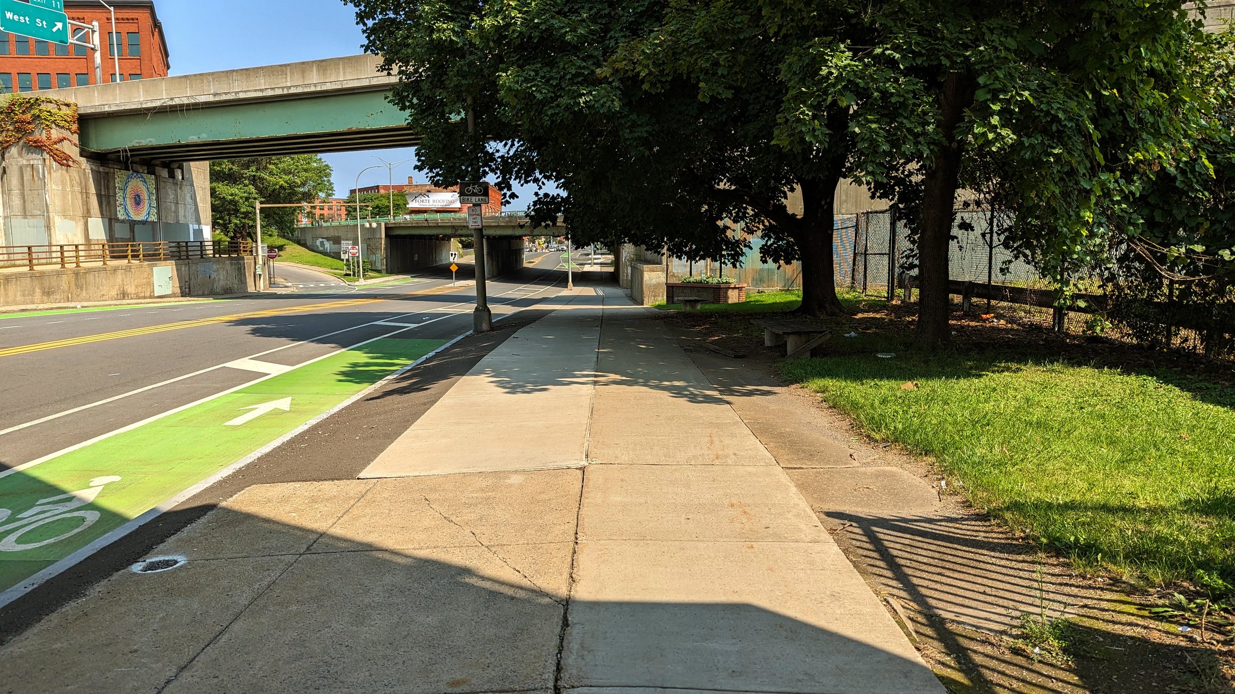
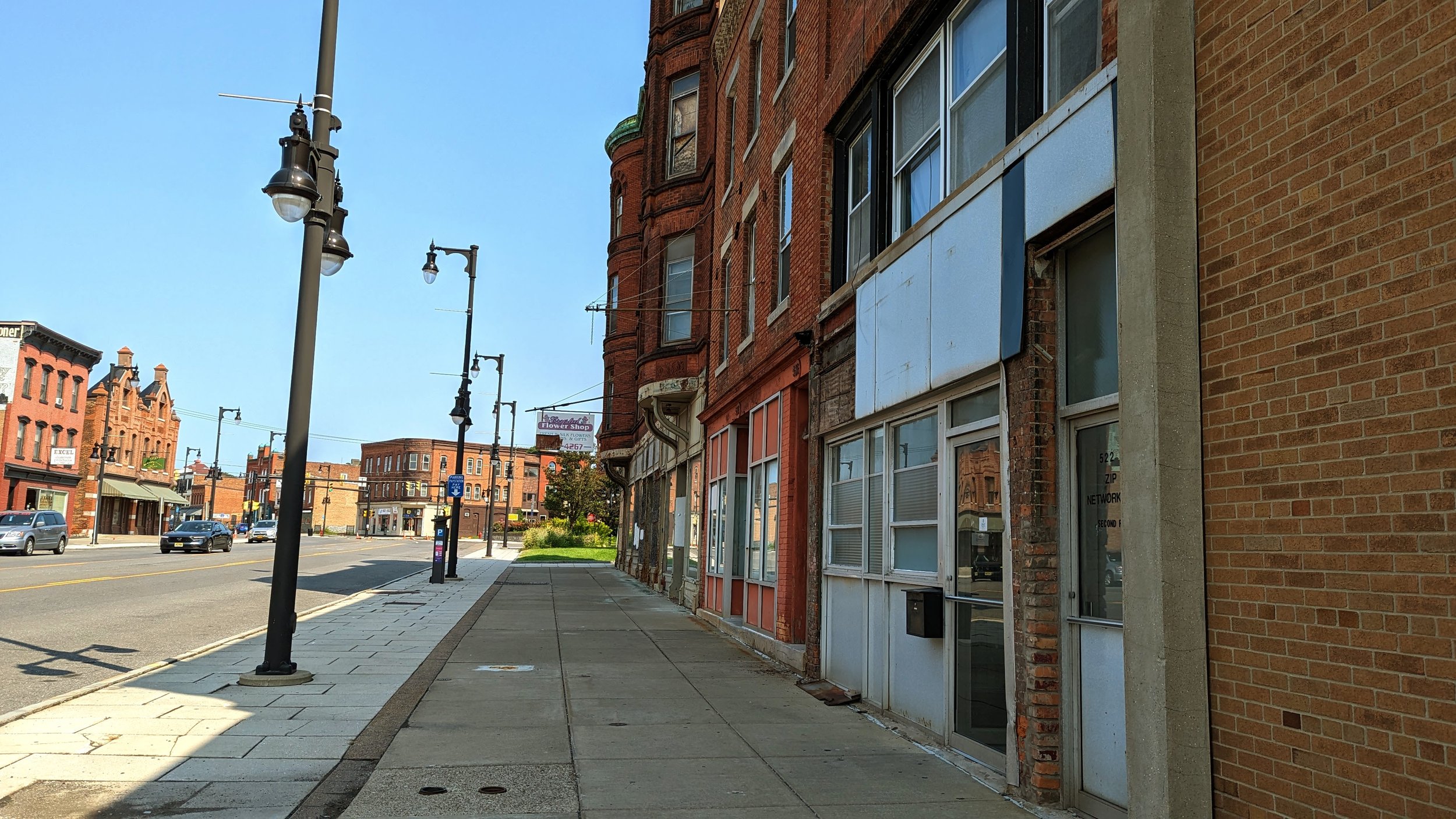
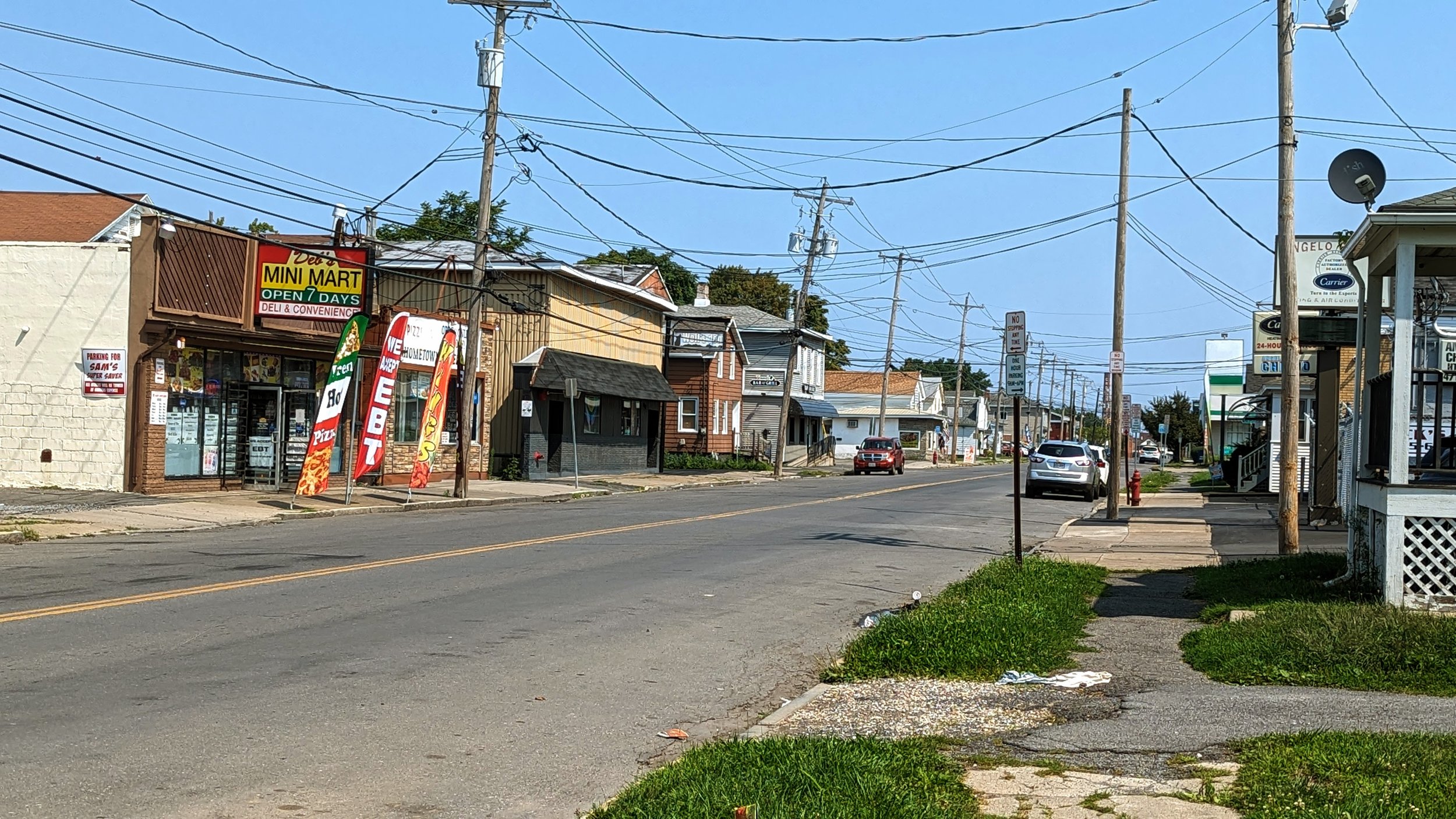
While sidewalks are almost always present, providing a dedicated space for people to walk, bike lanes are still expanding their reach. Where they do exist, the quality ranges dramatically. For every wide, protected lane, there are multiple skinny lanes pushed into the gutter that drop out suddenly before reappearing hundreds of feet further down the road. This is not just a problem around Phoenix, Mesa, and Tempe, but across the country. This problem is especially acute on the multi-lane arterials where drivers are racing, leaving people riding bikes vulnerable whether they are riding in a painted lane or on the side of the road. In Tempe, which has a Vision Zero program, at least one of its Safety Corridors, W University Dr, does not do much to prioritize safe movements of vehicles and includes very little room for its bike lane. I’ll come back to this area again later in the piece as there are some really positive things happening nearby.

And the final piece of bad news before we start looking at the positives - never ending seas of car storage.

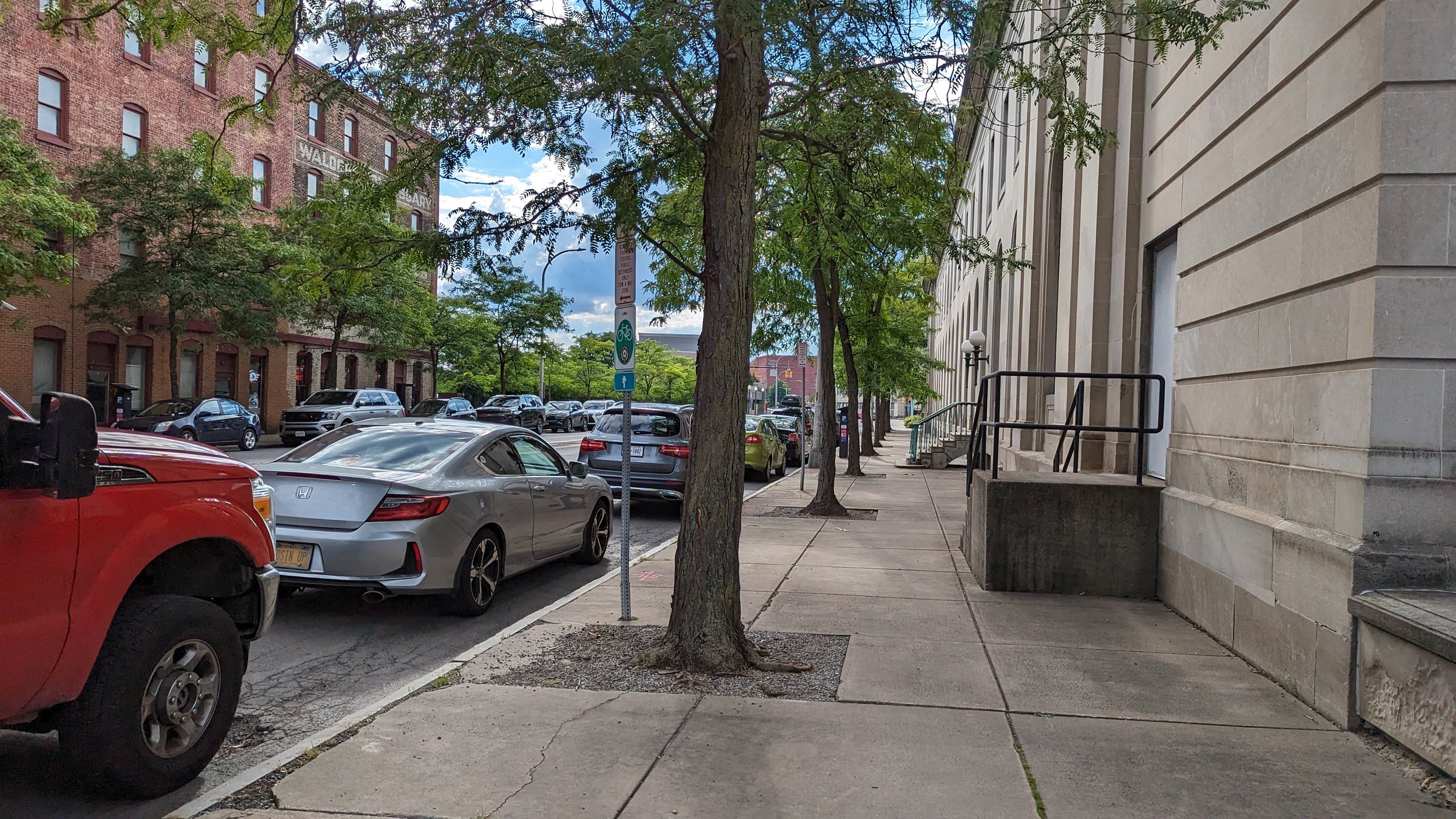
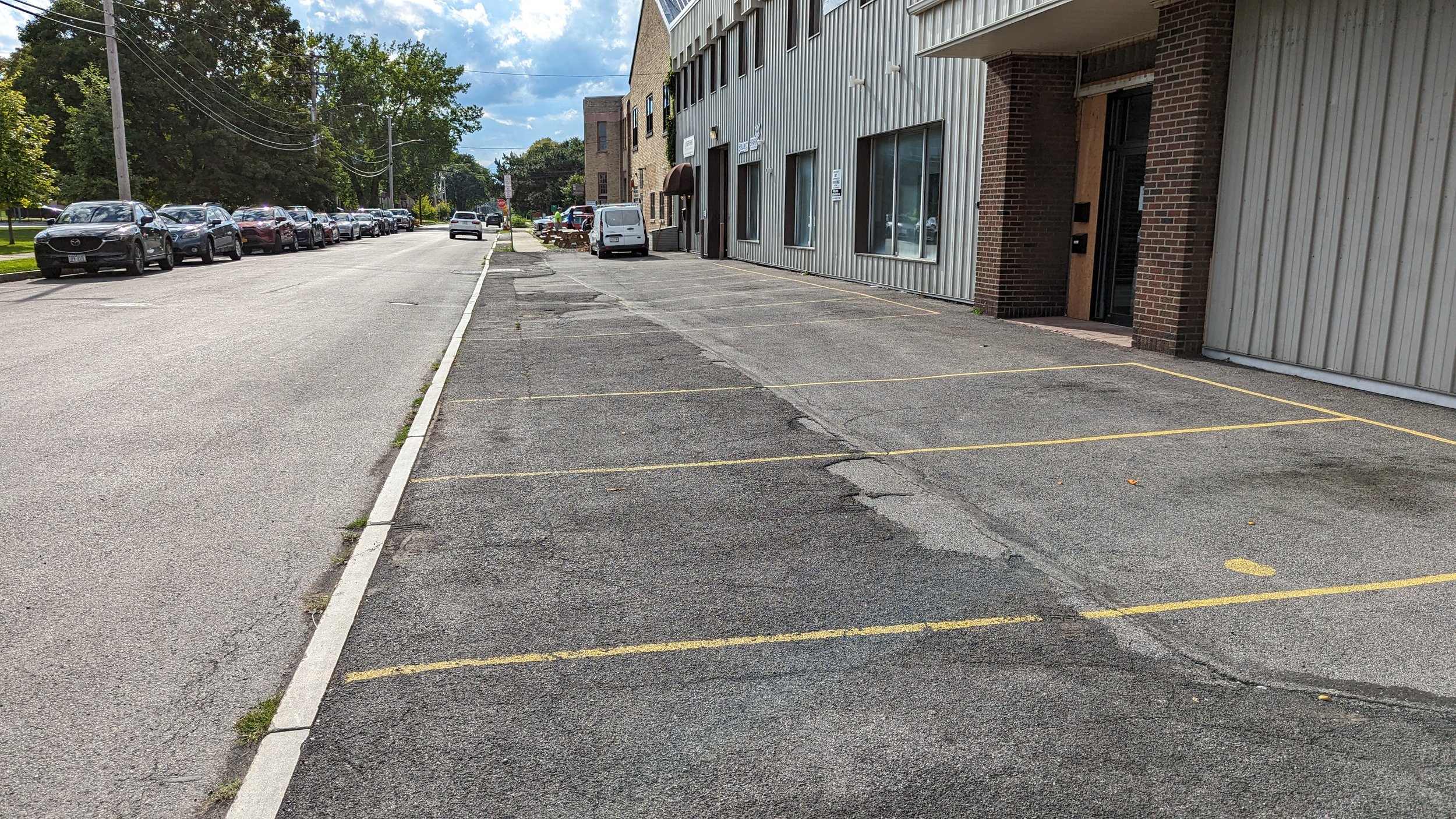
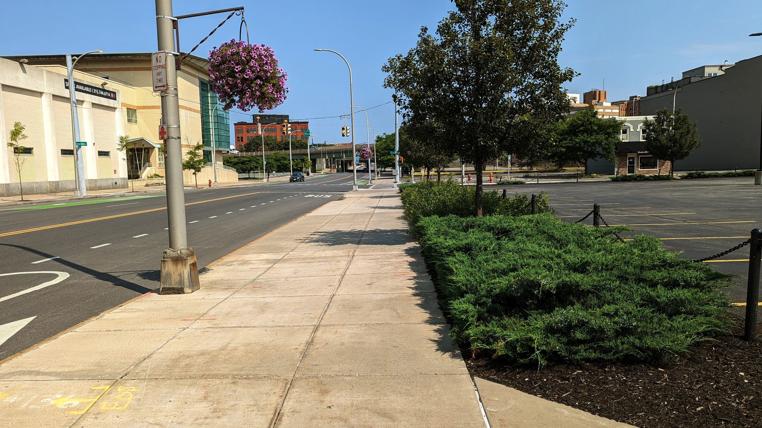
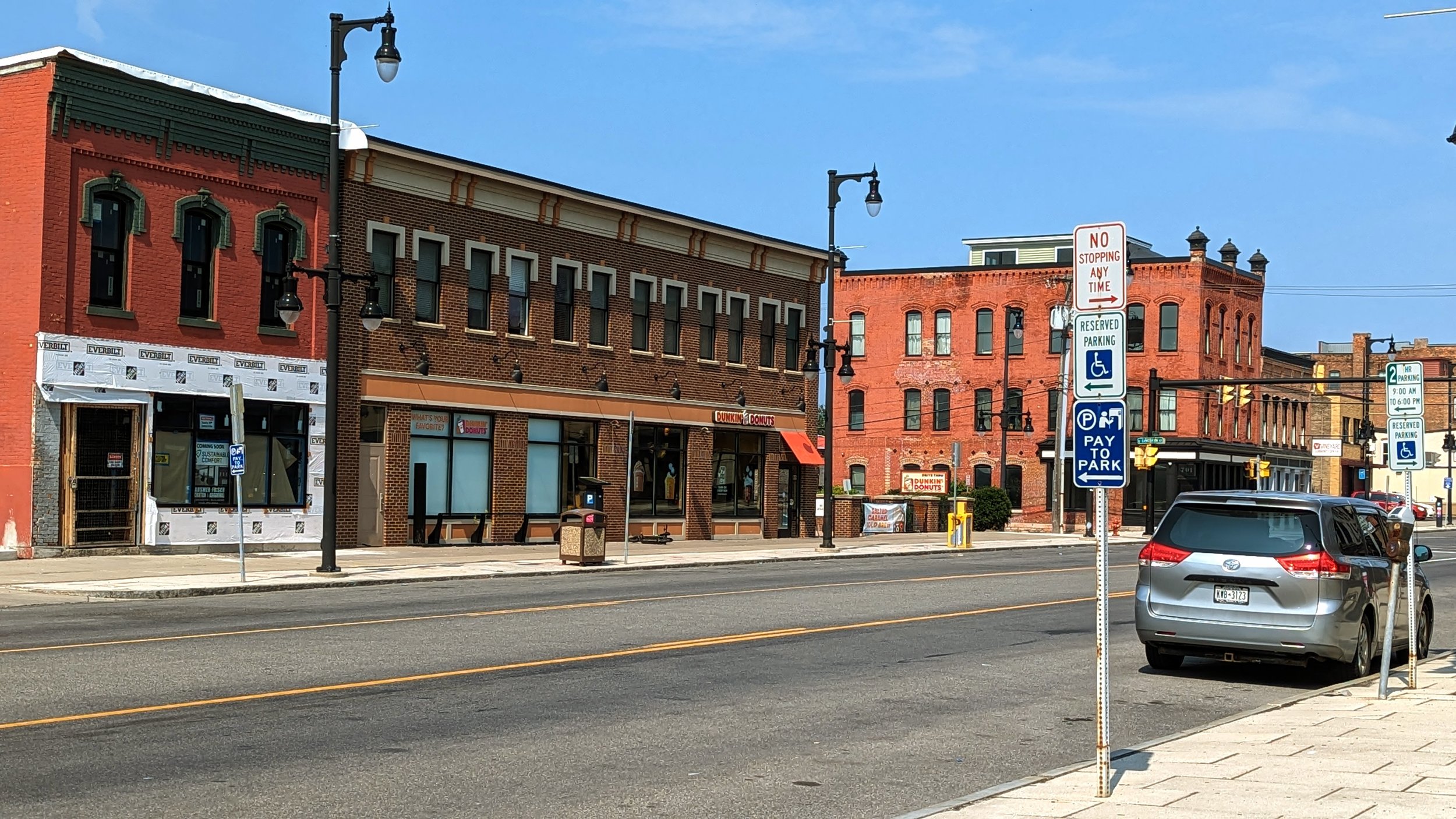
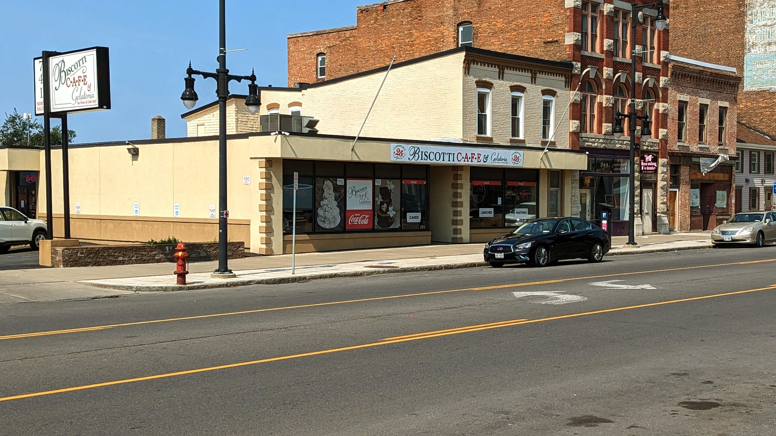
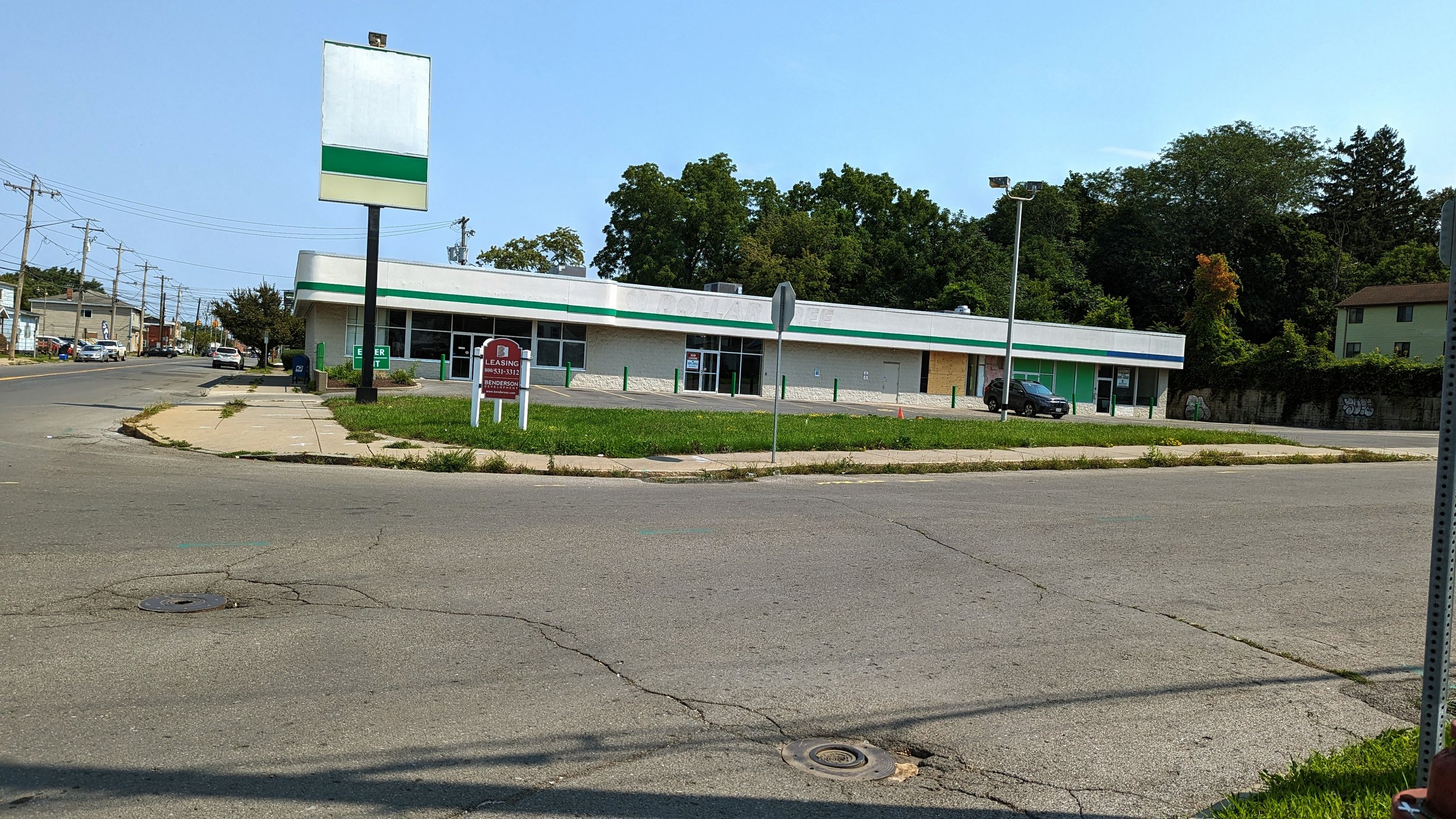
As a metropolitan area that is dedicated to the personal vehicle, there’s an overwhelming need for car storage at all destinations. Angled street parking was a common sight around Mesa, but often that parking simply lined the curb outside of a parking lot. Even the roomy parking-protected bike lane primarily ran next to businesses surrounded by their own parking lot, reducing the likelihood of cars acting as a barrier between riders and moving vehicles. To give you a sense of the problem, there is an estimated 2.4 million cars register in the State of Arizona, but there are over 12 million parking spaces in just the Phoenix metropolitan area. All of that asphalt not only makes it unpleasant to walk in most parts of the metro area, but it also intensifies the incredible heat the area experiences during the summer months. Anyone who has ever walked through a parking lot in the summer knows just how hot it can be, but now imagine that walk when its 115 degrees out and there are no trees to shade you. The heated asphalt can even result in severe burns to those unfortunate enough to touch it with their bare skin.

But this is where we start to see some positives, and it comes from an historic form of architecture - the stoa.

View fullsize Mesa - Covered walkways
Mesa - Covered walkways
View fullsize Tempe Marketplace
Tempe Marketplace

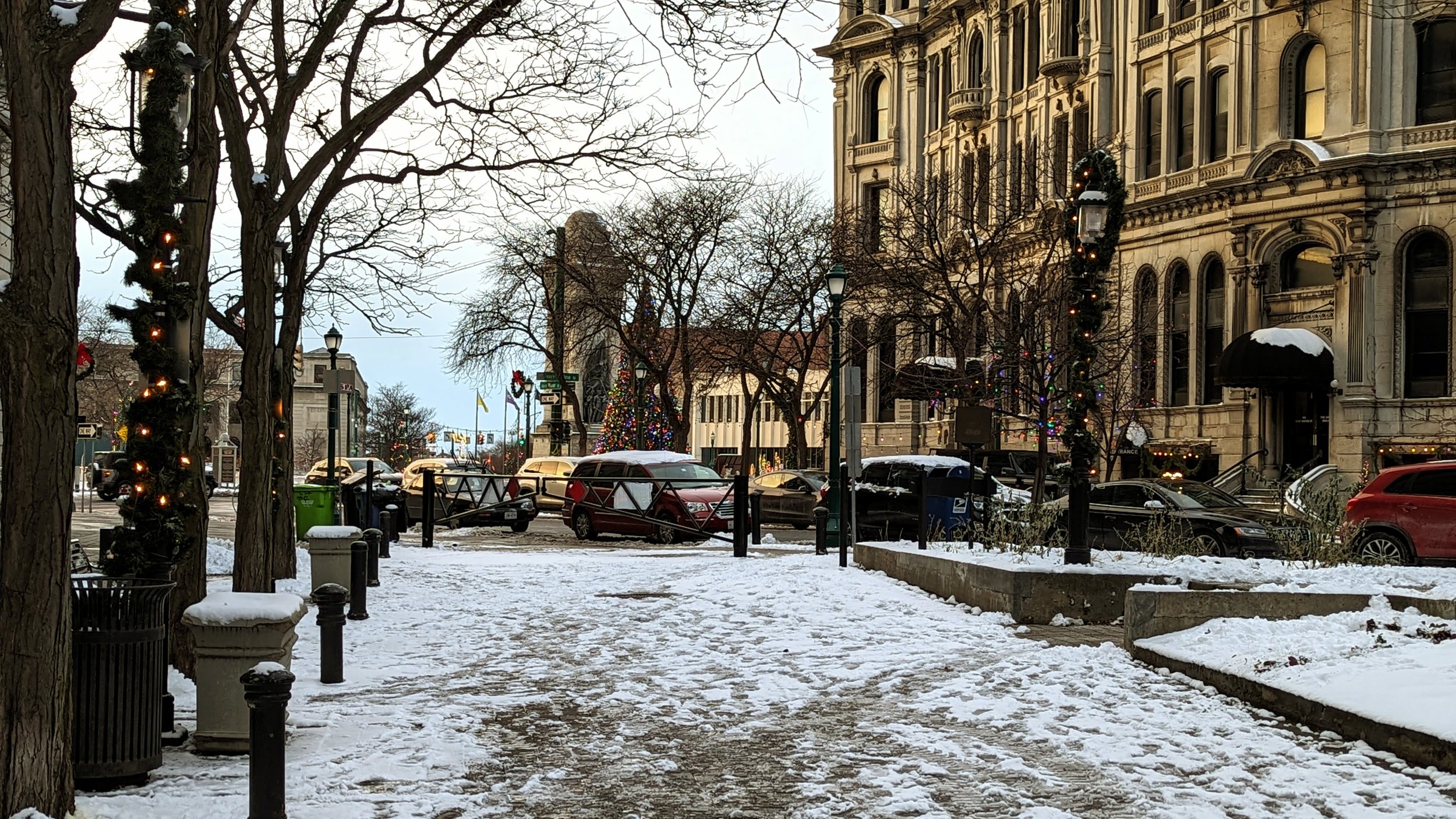
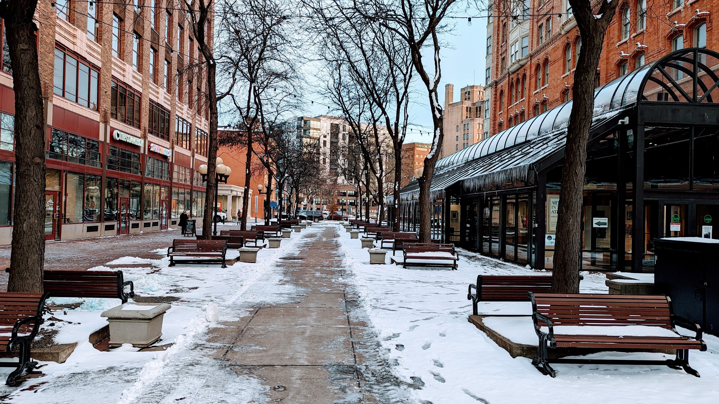
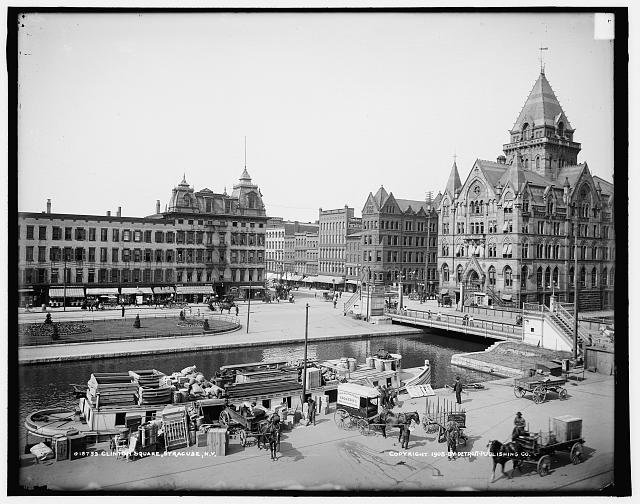
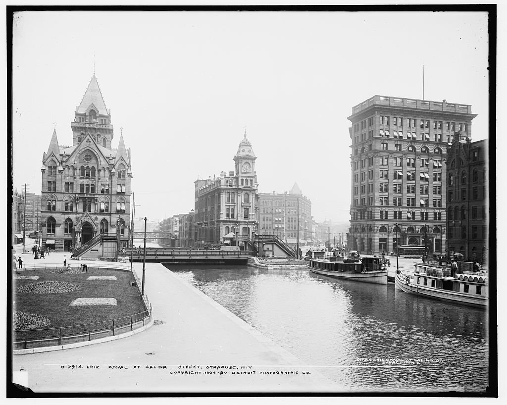
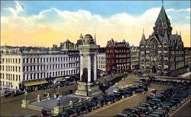
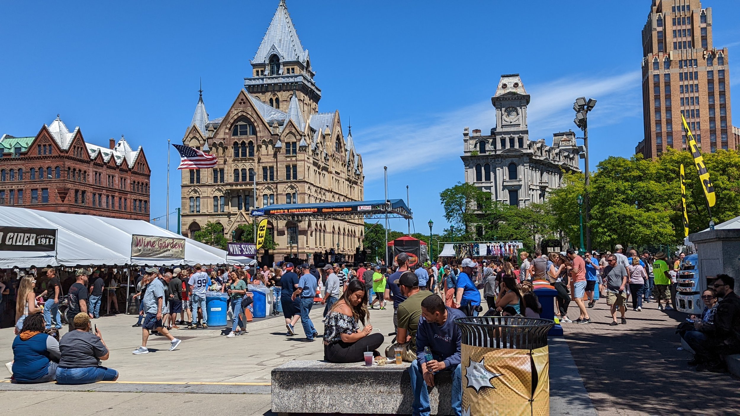
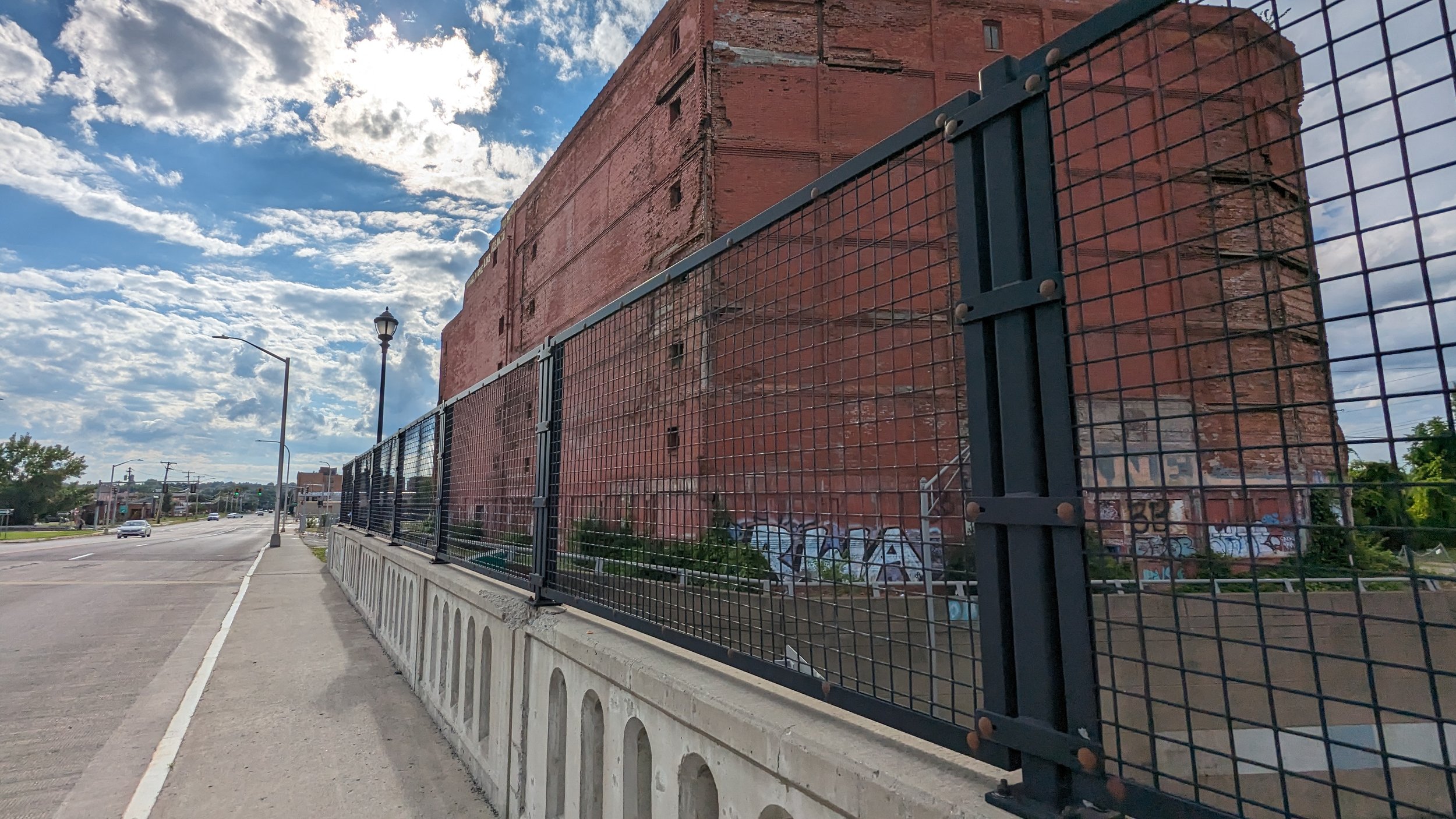
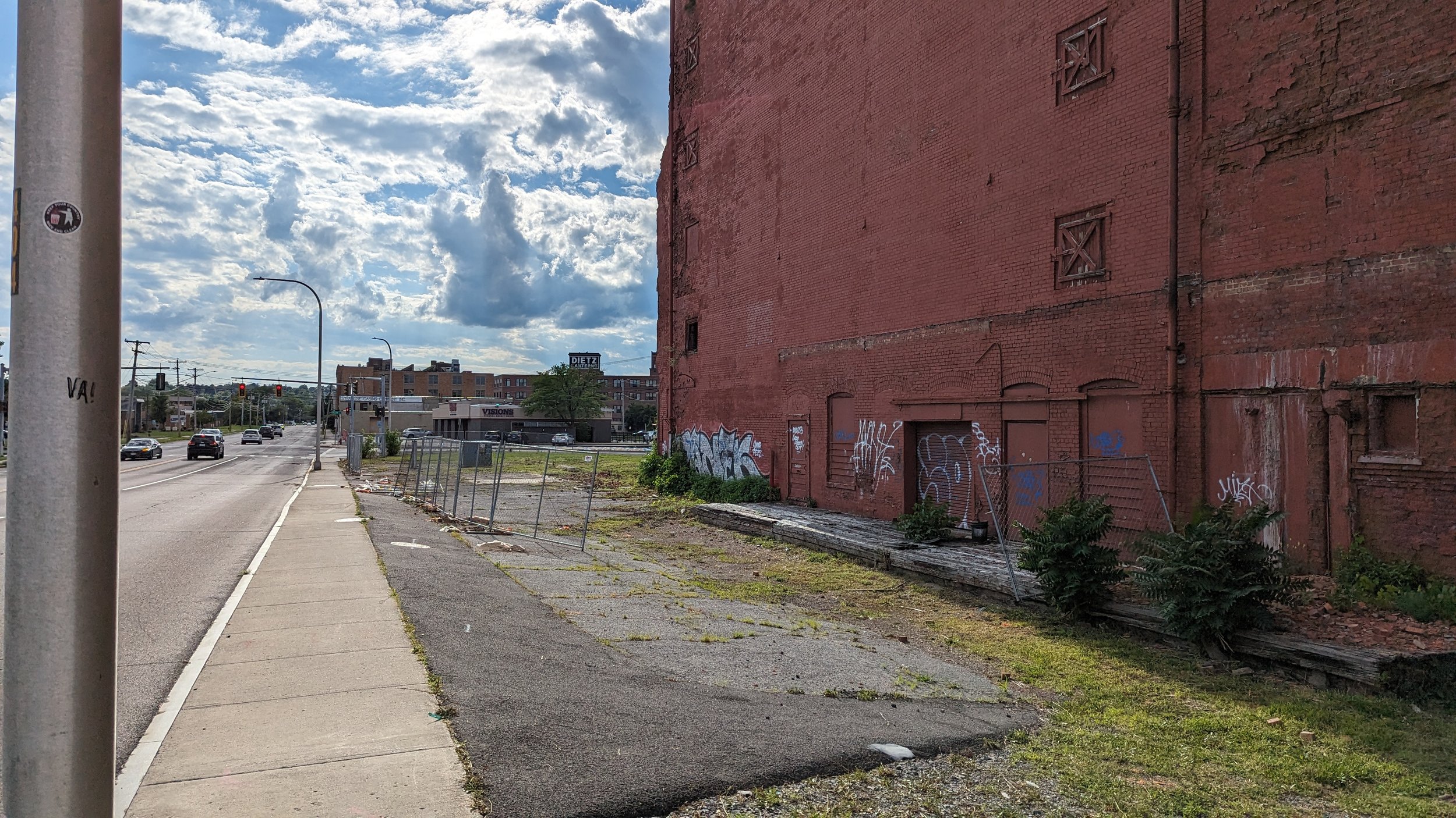
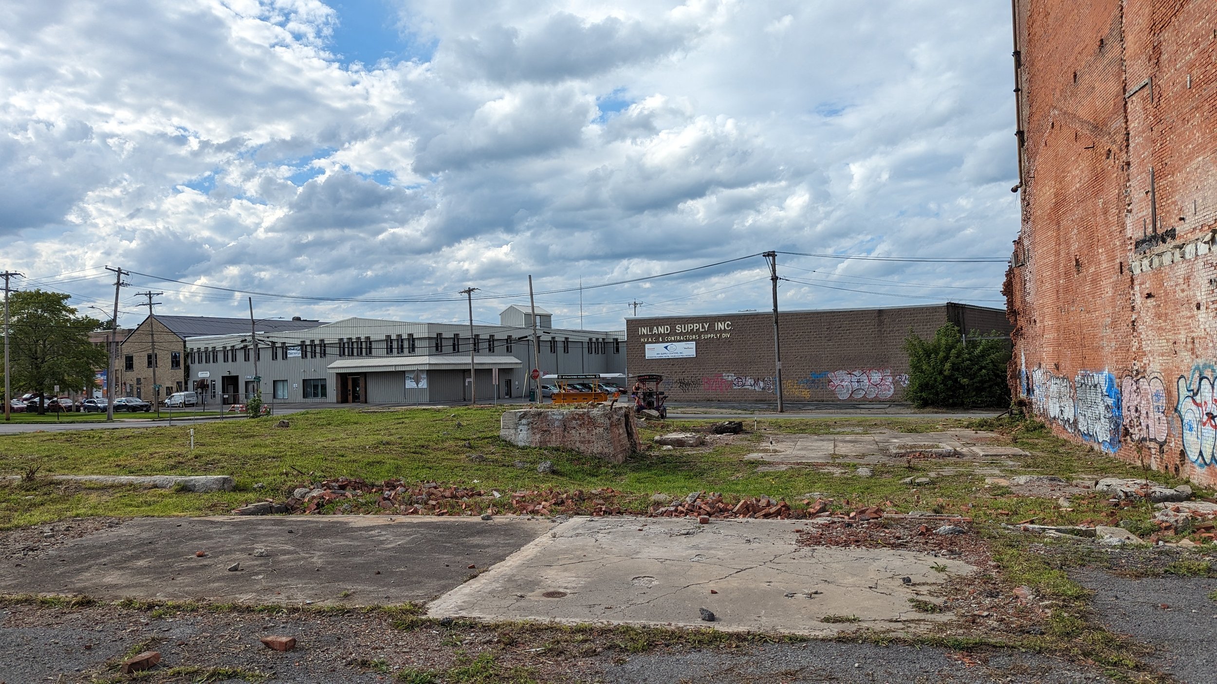
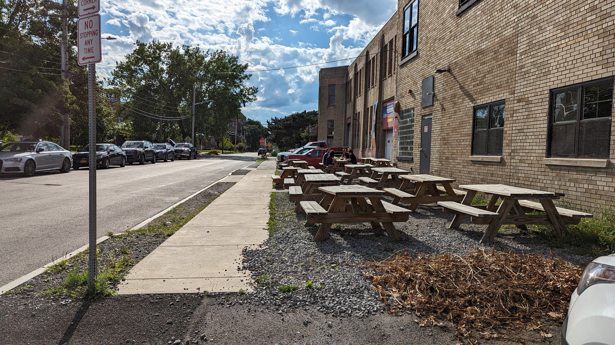
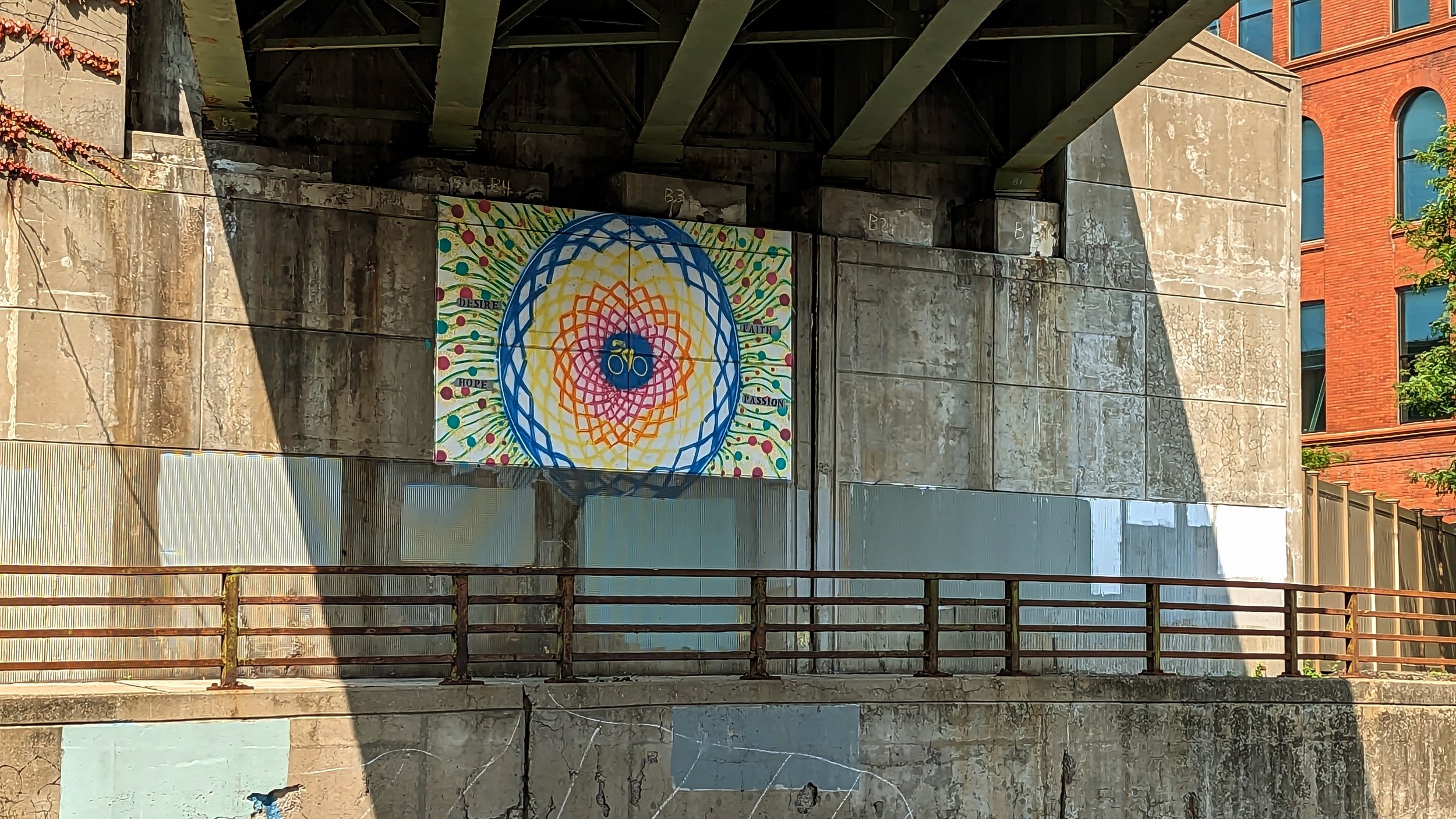
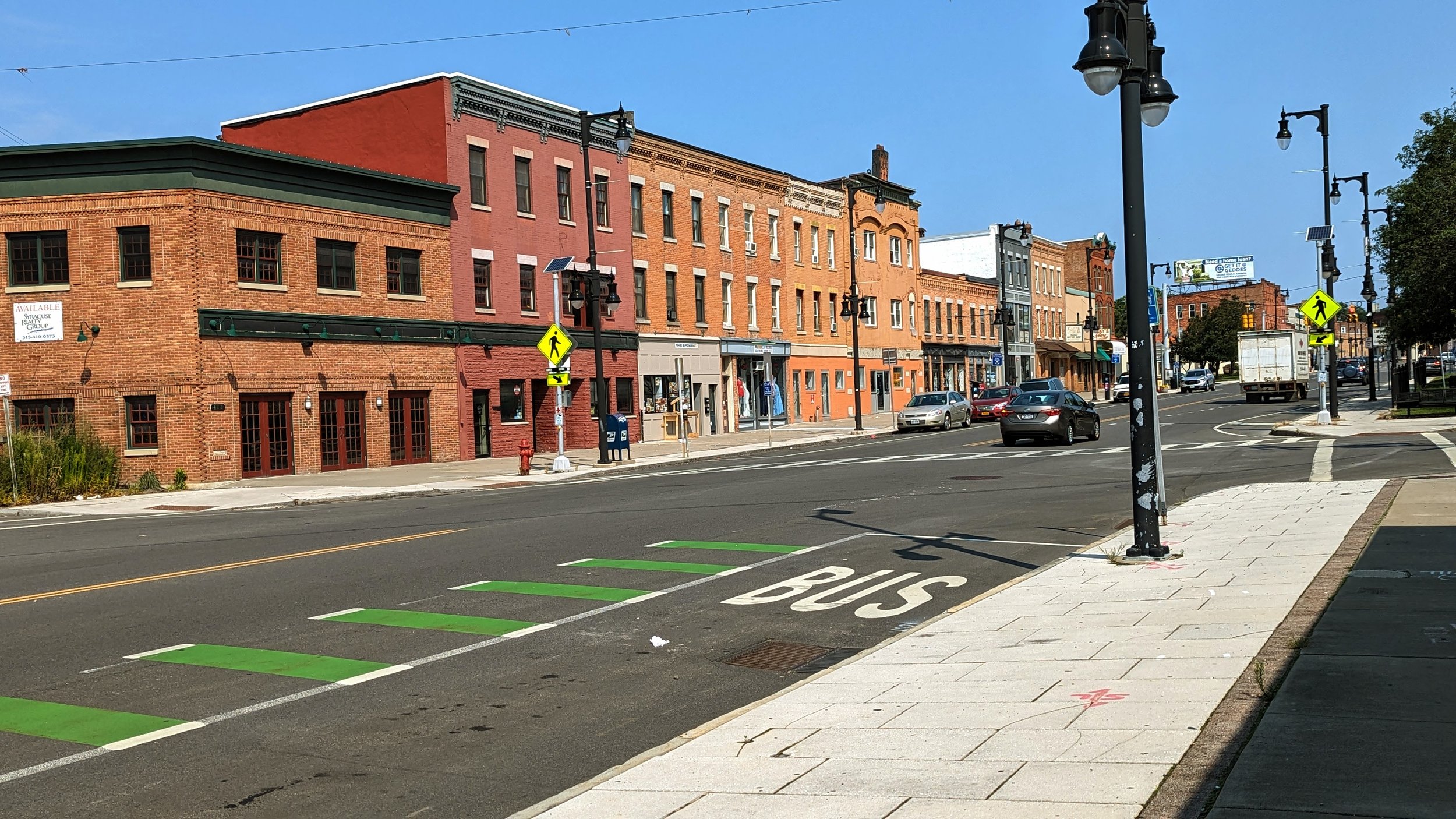
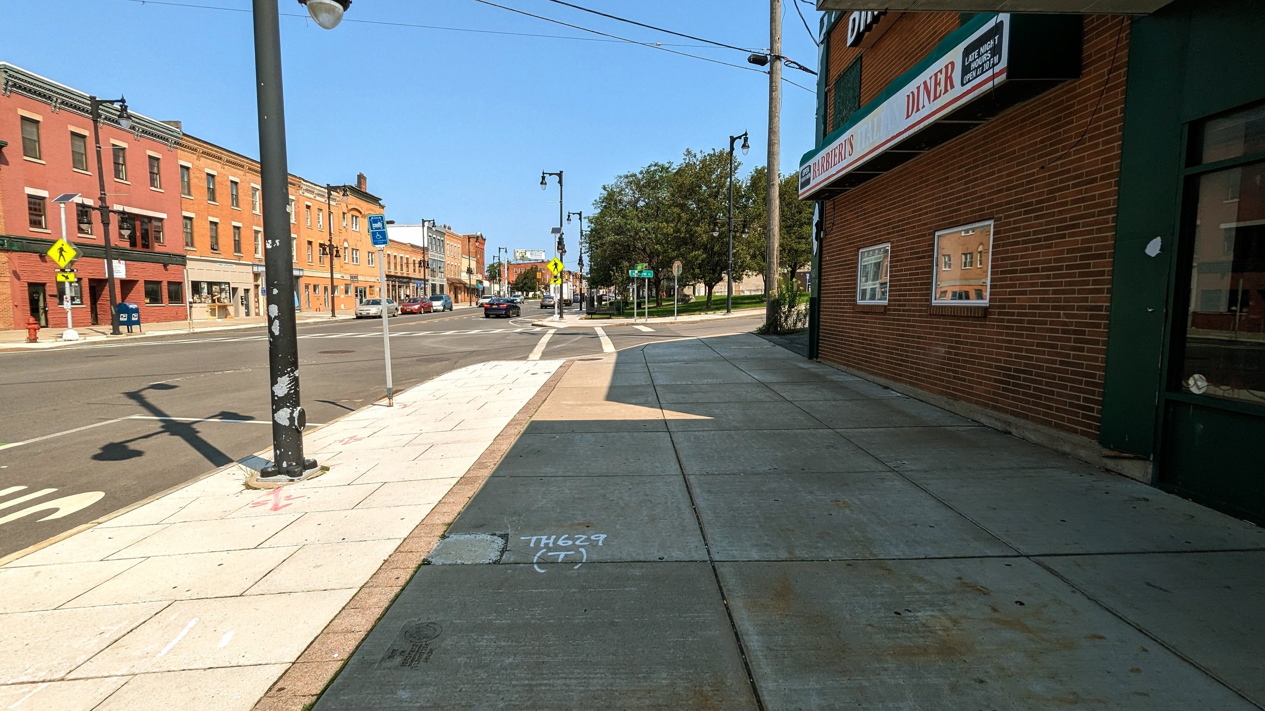
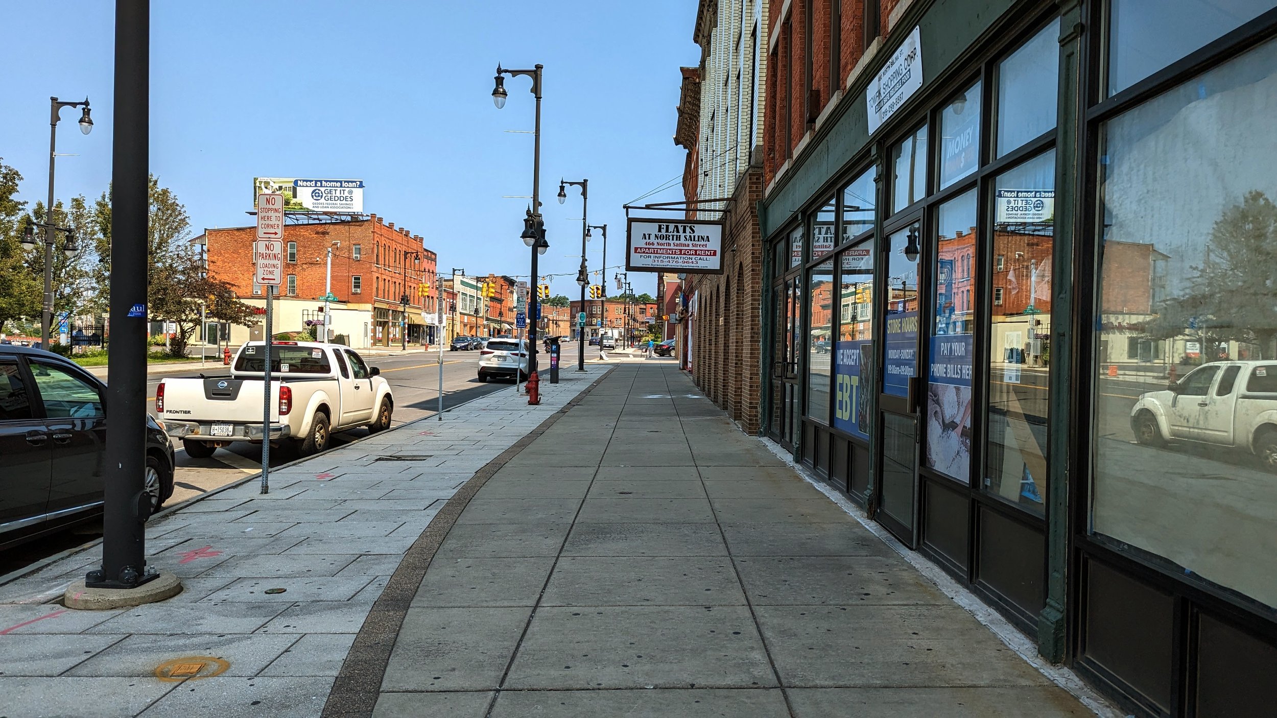
Stoa are covered walkways often found in ancient architecture in Greece, Rome, and Spain. Downtown Mesa, which exudes traditional southwest charm in its architecture, employs stoa throughout. The coverings create pleasantly shaded paths and often include both public benches and outdoor dining opportunities. While the stoa are used to help combat the intense sunshine and heat the Phoenix area experiences, the same technique can and should be used in our colder, wetter climates to provide people walking with cover from rain and snow. In New York City, sidewalk sheds, while intended to be temporary, often provide this benefit during storms. Downtown Syracuse has lost many of its awnings and coverings over time, which becomes apparent when you see historical photos and paintings of the area. 

While stoa offer up much needed shade, they also help to expand outdoor dining opportunities for bars and restaurants. As a city that enjoys sunshine nearly all year round, outdoor dining and drinking is a common occurrence - on sidewalks out front, patios in the back, and roof tops. While northern cities like Syracuse can’t as easily provide this level of outdoor activation, we can do more than people often think. By including more covered spaces, outdoor patios and rooftops can be activated for most of the year, especially if heating lamps are strategically placed throughout. Unlike Phoenix, whose residents are spoiled with sunny days, our northern cities see all available outdoor spaces filled from the first sunny day in spring to the last grasp of warmth in the fall. We should identify ways to make these spaces work in all weather.

Sticking to this desire to be outside in social settings, suburban Phoenix has increasingly embraced outdoor malls with pedestrian centers. Tempe Marketplace, while surrounded by a moat of car storage, provides a dense, walkable environment for visitors. Yes, at its core it is simply a mall, primarily occupied by national chains and privately controlled, but it offers the possibility of becoming more than just a mall. As the need for housing expands, the large parking lots that surround the shopping center can easily be developed into housing, allowing residents to live within easy walking distance to many of their daily needs. Enclosed malls can also see some of this infill and conversion, but the focus on interior access makes redevelopment more difficult.

Now I may have been harsh on mobility across the Valley, and rightfully so, but there are some bright spots that deserve some attention.

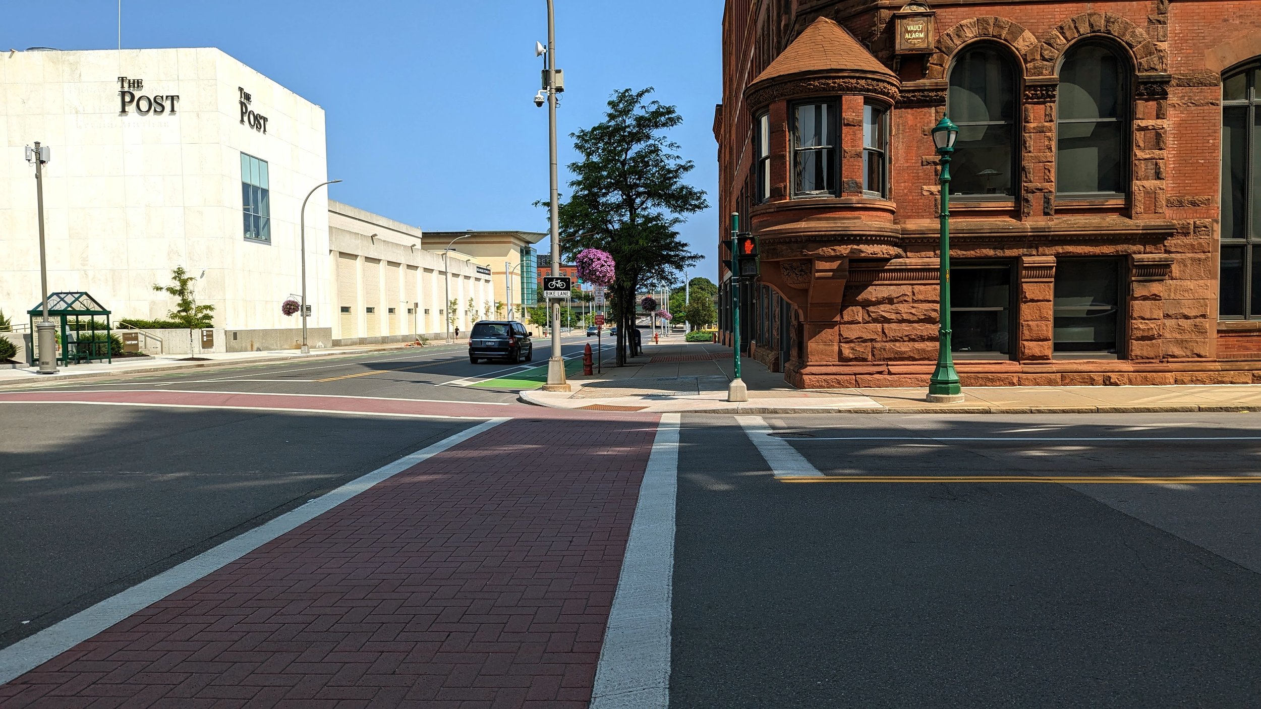
Let’s start back with that parking protected bike lane mentioned earlier. This concept is not new and has been used extensively throughout New York City and other cities across the country. But I want to highlight the use of this technique in Phoenix, one of the most car obsessed metro areas in the country, in contrast to Syracuse’s reluctance to explore their use after neighbors caused an uproar over one near Syracuse University over a decade ago. While the execution of that bike lane was less than desirable, it is beyond time to revisit their use as a low-cost and effective way to protect bike lanes throughout the city. 

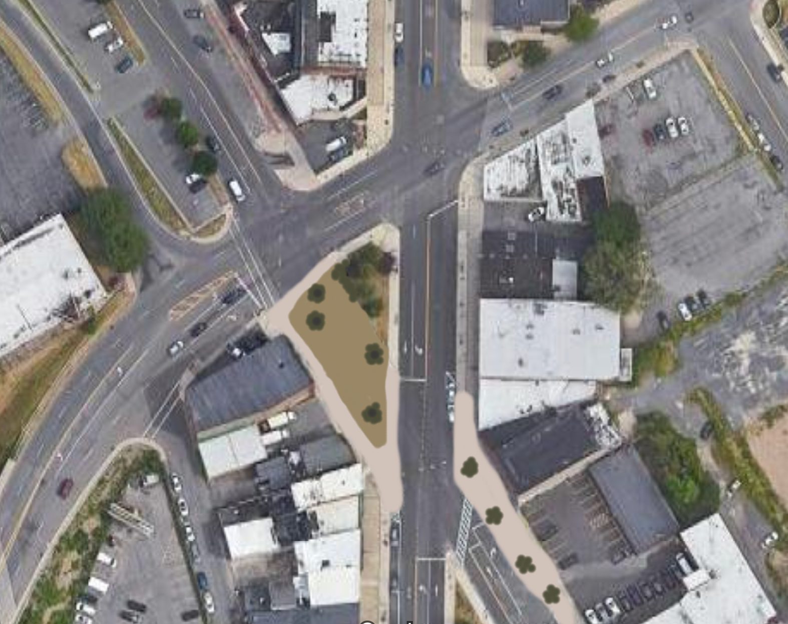
In Tempe, some neighborhood streets are utilizing raised intersections to slow vehicles, making it safer for people to ride bikes and walk across the street. By spreading these intersections along a street, cars are never able to pick up speed before they need to slow down once again, reinforcing safer speeds. Similar techniques have been used closer to Syracuse, with a high profile example in Philadelphia’s City Center neighborhood. Concerns will always be raised about maintenance, especially regarding impacts on plowing, but those concerns are truly unfounded. Similar to raised intersections, the City of Syracuse has been piloting speed cushions on neighborhood streets throughout the city. After 2 years, there has been no documented evidence of issues with plowing. If anything, a fully raised intersection may be even easier to navigate for plows as they should be moving through intersections at slower speeds to begin with.

View fullsize Tempe - Raised intersection
Tempe - Raised intersection
View fullsize Tempe - Scooter drop zone
Tempe - Scooter drop zone
View fullsize Mesa - Valley Metro Rail station
Mesa - Valley Metro Rail station
View fullsize Valley Metro Rail
Valley Metro Rail

Beyond improving the movements on our streets, Tempe is setting an example of how to handle dockless scooters. In spring 2022, social media around Syracuse was lighting up with complaints over where the new e-scooters were being left - blocking sidewalks, in parking spaces, on front lawns, etc. Since then, there has been little movement on providing better spaces for scooters to be left when they’re no longer in use. In contrast, Tempe has taken action in its downtown core by creating simple drop zones near intersections. These drop zones are painted spaces with a scooter symbol in areas already signed for no parking. As a result, they act as an additional reinforcement to daylighting regulations, where cars are prohibited to park in order to enhance visibility within an intersection. Similar techniques have been used with great success in Hoboken, NJ, which has not seen a traffic death in over 7 years. To encourage the use of these new drop zones, Tempe has worked with the e-scooter providers to enact fees and penalties for not leaving their scooters within the designated areas. Syracuse, and other cities with micro mobility options, should explore similar policies once drop zones are implemented and widely spread across neighborhoods.

All of this begins to add up to some of the more promising projects occurring around the region, all of which are building off the investment the region made in light rail. While Valley Metro Rail is fairly limited in scope, dense development has followed in its wake.

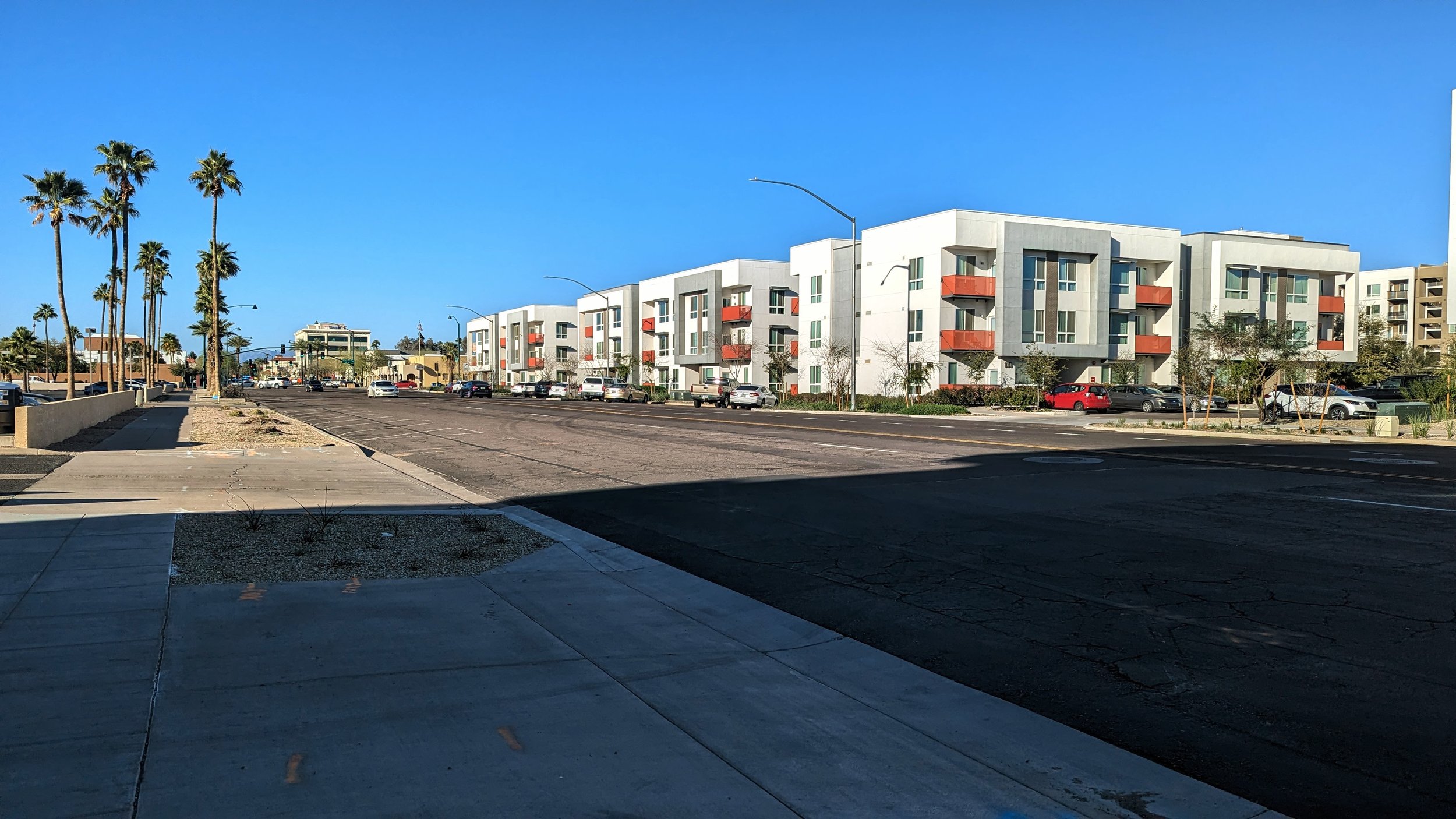
Five and six story residential buildings are popping up across the Valley within easy walking distance of the light rail corridor. While they are primarily residential only, some mixed-use development is popping up as well, with many buildings facing the main corridor while placing whatever parking they do provide in less visible locations.

View fullsize Culdesac interior street
Culdesac interior street
View fullsize Culdesac bar / restaurant
Culdesac bar / restaurant
View fullsize Culdesac secure bike parking
Culdesac secure bike parking
View fullsize Other housing construction near Culdesac
Other housing construction near Culdesac

As a sign of what may be possible in the near future, a much talked about new development, Culdesac, is aiming to show that even in this car dominated region, you can live car free. This development, located directly at a light rail station, emphasizes car-free living, providing secure bike parking throughout, narrow pedestrian only streets, small courtyards, and commercial/retail outlets sprinkled along the first floor of many buildings. While the development was in soft launch mode while we walked around in early March 2024, you could get a sense of what the place was aiming to be - a fully integrated community. The small shops are meant to serve not only residents of Culdesac, but also the hundreds of apartments popping up nearby. A bar/restaurant sits at the entrance to the development as you cross from the light rail station, with outdoor seating lining the sidewalk. This choice emphasizes the need for social third places for neighbors to come together.

Now this type of development may not be possible everywhere, but its staking out a claim in a region that has been hostile to pedestrian and transit oriented developments. As the Syracuse region eyes significant growth for the first time in decades, we should look to ambitious developments like Culdesac for ideas on how to increase walkability even in more suburban environments. Locate your developments where transit investments are occurring, emphasize access to daily needs, and create spaces that are human scale.

Even though the Valley of the Sun mostly remains a cautionary tale in terms of urban development, there are plenty of lessons we can learn, both good and bad, from its growth. Let’s make sure we learn the right ones.

In Transportation, Urban Planning, Walkability, Housing
Comment

The Movie Theater at the Urban Core

January 31, 2024

A common theme that we hear in recent years is that we are always connected but never truly connecting. Our phones and computers allow us to constantly check in on friends, family, news items, and go down rabbit holes of our own. But it is often lamented that this ultra connection has severed our connection with the here and now. 

I agree with this sentiment to a certain extent, especially as someone who struggles to put down their phone throughout the day, and that’s why my interest was sparked on a recent episode of the Ezra Klein Show podcast. The episode, which focused on how to find your own aesthetic taste, took a short detour to talk about going to the movies. In 2024, the movie theatre is one of the last places where being on your phone is frowned upon, and often results in people expressing their displeasure vocally. The importance of this is not the public pressure to stay off your phone, but the result that you are forced to engage fully with the story in front of you, developing your own meanings and takeaways, before you are able to be influenced by outside sources. 

Obviously you may be influenced by a review you read or the opinion of a friend before you go. But at the moment, you’re focused on the screen. Developing questions, forming connections, and determining your opinions on the work in front of you. This is why the movie theater is important and why we should find ways to work them back into our urban fabric.

For over 100 years, movies have brought strangers together and the movie theater has been at the center of the action.

View fullsize Former Brighton Theater
Former Brighton Theater
View fullsize The Palace Theatre
The Palace Theatre

Starting out as novelty where crowds famously feared that a train was barreling down on them, the medium quickly became an artful way to tell stories and explore new ideas. By the early 1900s, small neighborhood theaters and nickelodeons (named after the price of entry) were popping up across cities and towns. Due to their limited space and small screens, these first small theaters filled storefronts in neighborhood business districts, playing collections of short films (15-20 minutes typically). By 1908, over 8,000 of these nickelodeons were spread across the US, with many packed to the brim with customers in standing room only conditions. 

But soon, these small theaters gave way to larger venues aimed at playing longer films and providing more comfortable settings. In the later 1910s and into the 1920s, larger neighborhood theaters, akin to Syracuse’s still standing Palace Theater, began to anchor their respective urban neighborhoods. When looking at lists of theaters across the City of Syracuse during this time, as provided in Norman O. Keim’s Our Movie Houses: A History of Film & Cinematic Innovation in Central New York, you see this mini movie palaces popping up in each neighborhood, such as the Brighton Theater on S Salina St or the Westcott Cinema on Westcott St.

While these neighborhood gems served their communities as gathering spaces, the true palaces were reserved for urban downtowns. 

The RKO Keith’s, the Paramount, and, of course, the Loew’s State Theatre, now known as the Landmark, were grand cinema houses that lined S Salina St in Downtown Syracuse. Their opulence set them apart from all other movie theaters in the region and formed the core of a theater district who’s impact is still felt today.

View fullsize Pantages Theater - Minneapolis
Pantages Theater - Minneapolis
View fullsize James M. Nederlander Theatre - Chicago
James M. Nederlander Theatre - Chicago

Movie palaces of this scale allowed the average citizen to escape into a world of royalty for a few hours, as most feature films were accompanied by short films and news reels before the main attraction rolled. Movies were events that allowed you to stay informed and engage with the culture of the day.

Throughout the 30s, 40s, 50s, and 60s, a select few films, often musicals or big budget historical epics, would utilize a promotional technique known as the roadshow. Roadshows would travel the country to these magnificent movie palaces and be presented on the scale of a live performance. Often props, or replicas of props, would follow the film to create buzz around the community. Classics such as the Sound of Music, the Ten Commandments, and Gone with the Wind were all presented in this fashion.

Slowly this elevated place of movies within the culture would fade. The advent of TV in the 1950s, home video in the 1980s, and the swift currents of suburbanization would zap the cultural relevance of the movie theater. Soon,  multiplexes, especially in suburban shopping malls, would come to dominate the industry. In Syracuse, many of our neighborhood theaters would close, from the Genesee Theater in Westvale Plaza to Cinema North in Mattydale, or transition out of the business, as the Palace Theater in Eastwood has. Movie going habits would continue to shift and the experience would become more common place and less of a to-do. In many ways, this is a positive, as more and more people were able to take part, but the importance of the theater in our lives would diminish as it would become buried the commercial landscape.

This decline would accelerate even further over the last several years as TV screens have grown larger, streaming services have taken over, and our attention spans have dwindled. When I talk to friends about going to the movies, often they’ll opt to wait for the movie to come out on streaming so they can watch it at home. They’ll complain about the cost, the uncomfortable seats, the unwillingness to travel to the mall (or fear of the mall as some unfortunately feel), or the belief that their TV is a good substitute.

So why do I bring this up? Movie theaters still exist. Even in Syracuse we still have a few options (Regal, Movie Tavern, the Manlius Cinema, and the Hollywood). Why should we care about movie theaters? And how does this relate to our urban fabric?

We will never go back to the golden age of cinema, and it probably is not desirable to. While going to the movies was an event, it wasn’t always accessible to everyone, and it still isn’t. Multiplexes, like Regal and Movie Tavern, allow people to see a far wider variety of movies than the single screen theaters of the past allowed, and streaming allows for even more variety.

While our viewing habits may have changed permanently, we should still celebrate the moments we are able to gather together as a community and have a collective experience. We should be given moments where we are fully engaged in a cultural event that we not only shape our own views on without constant distractions, but also connect with others as they do the same.

The legacy theaters, such as the Manlius Cinema and Palace Theater, should be preserved and encouraged to keep working as movie theaters. They should be encouraged to curate content that is distinct from the multiplexes and provide experiences typically only available in larger cities. We should encourage the development of other neighborhood theaters that tie into local coffee shops, restaurants, bars, etc. The Little Theater in Rochester is a prime example of a local theater acting as its own center of gravity to benefit the community around it.

For our former cinema palaces, such as the Landmark Theatre, explore opportunities to revisit their legacies of hosting roadshows. While many have been converted to handle traveling Broadway shows, which has seen tremendous success, there are opportunities to re engage with their cinematic histories. Schedule special screenings of movie musicals or grand epics, both new and old. Host film festivals, including for local student filmmakers, providing them an opportunity to see their work in a unique venue. 

In the end, this is really just a call for each of us to find new, or old, ways to engage, as any good city should allow you to do. Our best urban spaces and experiences will give you a reason to disconnect from your devices and embrace a shared experience. But for now, maybe let’s just start by seeing a movie. And don’t forget the popcorn.

Comment

The Case for a Holiday Village

November 30, 2023

City sidewalks, busy sidewalks, dressed in holiday style

In the air there's a feeling of Christmas

Children laughing, people passing, meeting smile after smile

And on every street corner you hear

Silver bells, silver bells

It's Christmas time in the city

- “Silver Bells” by Jay Livingston and Ray Evans

“Silver Bells,” like many other holiday classics, celebrate cities and the gathering spaces they offer during this festive season. As I wrote about back in 2021, the lights, displays, shopping, and events highlight walkability and the ways people engage with their communities. One holiday tradition I only briefly touched on, but think is worth exploring further, is the advent of the Holiday Village.

Holiday Villages, which are essentially mini-neighborhoods that pop up in public squares, are a German tradition stretching back as far as the 16th century. Filled with food and drinks, and plenty of small shops, these villages become key gathering places for both residents and visitors alike. The tradition has since grown across Europe and into the United States.

In Europe, Holiday Villages often include dramatic lighting displays with small, ornate sheds creating their own internal street network. Typically located in historic city centers, the traditional architecture around the squares are adorned with lights that highlight their features.

In the US, cities big and small have begun embracing these Holiday Villages. 

View fullsize Bryant Park - NYC
Bryant Park - NYC
View fullsize Market Square - Pittsburgh
Market Square - Pittsburgh
View fullsize Wrigleyville - Chicago
Wrigleyville - Chicago
View fullsize ROC Holiday Village - Rochester
ROC Holiday Village - Rochester

New York City’s Department of Parks & Recreation build out several small villages across the City filled with small scale vendors and snack shacks. The village in Bryant Park offers free ice skating as well.

Pittsburgh’s Market Square sees itself transformed into an Alpine village throughout the holiday season, attracting both local and international vendors for visitors to enjoy. Market Square itself is lined with bars and restaurants year round, providing shoppers with plenty of places to extend their stay into the night.

Chicago’s Wrigley Field sees its new public square turned into Christkindlmarket Wrigleyville. The ballpark installs an ice skating rink just outside its walls and lines it with many German-inspired huts and local craft artists.

Closer to home, Rochester, for the past five years, has hosted the ROC Holiday Village in Martin Luther King Jr. Park. Similar to many of the larger Holiday Villages, the shops surround a public ice skating rink, offering fun activities for all ages. A fairly unique feature to Rochester is the Igloo Inn, which allows groups to rent large, inflatable igloos that are furnished in cozy, classic holiday styles.

So why doesn’t Syracuse have a Holiday Village? While it may be too late to get a village in place for the holidays this year, there is plenty for us to think about if we want to organize one for next year.

First, to consider its location.

Nearly all large festivals in the City of Syracuse take place in Clinton Square, and for good reason. Its wide open layout makes it easy to quickly build up and take down tents for vendors and performance stages. It is also the location for the City’s outdoor skating rink and municipal Christmas tree. At the same time, these are some of the reasons Clinton Square should not be considered. 

Back in 2018 I reflected on some of the shortcomings of Clinton Square, from the lack of tree coverage and natural congregating spaces to the windswept feeling caused by short surrounding buildings that fail to address the square. When you compare Clinton Square to the location of Holiday Villages mentioned above, it lacks the desired “human scale” they display.

View fullsize Clinton Square - Syracuse
Clinton Square - Syracuse
View fullsize Bryant Park - NYC
Bryant Park - NYC

When discussing “human scale” in the context of a plaza, we are mostly considering the sense of enclosure they provide. Clinton Square, with its wide open area and relatively short surrounding buildings on 3 out of 4 sides, fails to provide any sense of enclosure. When you look at Bryant Park in NYC, which is more than twice the size of Clinton Square, the height of the surrounding buildings, along with its tree canopy, helps provide a sense of enclosure that is inviting. 

The good thing is we don’t need to look too far to find a better option.

Hanover Square, located across S Salina St from Clinton Square, offers this sense of enclosure while also adding architectural interest and commercial activity.

Home village 1.jpeg
Home village 2.jpeg
Home village 3.jpeg
Home village 1.jpeg Home village 2.jpeg Home village 3.jpeg

So many of our holiday traditions date back to the late 19th and early 20th centuries, from the look of Santa Claus to Christmas cards and carols. It is one of the many reasons the Christmas Villages many of us put up in our homes (including the one I put in my window above) typically mimic Victorian era buildings. Luckily for Syracuse, Hanover Square, the first commercial square in the City, still maintains many of these historic touches.

Adding to the architectural display, the square’s layout already emphasizes creating congregation points, with built in seating, perfect corners to gather, and a wonderful tree canopy. On top of this, the City has permanently closed two blocks of E Genesee St to through traffic, allowing people to flow between businesses without having to interact with cars. To add to this, the City should consider closing the 100 block of E Water St during the holiday season to open the square up further and create a true destination. For the past two summers, the City has closed the street on Thursdays during August to host Hanover Thursdays, a weekly concert series, which have been wildly successful. Closing the block for 3-4 weeks is a taller ask, but its a worthwhile endeavor. Should the event prove successful, similar treatments currently in place on E Genesee St should be explored, blocking cars from driving through but still allowing access when absolutely necessary.

Hanover from S Salina.jpeg
Hanover with tree.jpeg
Hanover from Warren.jpeg
Hanover Star.jpeg
City Hall Commons.jpeg
Hanover atrium.jpeg
Hanover from S Salina.jpeg Hanover with tree.jpeg Hanover from Warren.jpeg Hanover Star.jpeg City Hall Commons.jpeg Hanover atrium.jpeg

So what might this Holiday Village look like?

Hanover Square already finds itself covered in lights and wreaths, providing a festive spirit. During Hanover Thursdays, vendors at tables and under tents tuck themselves into the corners and along the street. A Holiday Village would need more sturdy structures than a simple tent. Wooden huts would keep with the more traditional vibes that many Holiday Villages aim to display. You could also aim for a slightly more modern vibe, using glass stalls similar to those seen in Bryant Park. Either way, they should be sure to open up towards the bars and restaurants that currently line the street while creating a more complex, maze like inner network of streets. Holiday Villages should be about wandering and bumping into experiences, not straight lines and grids, like so many of our city streets are. 

For the second block of Hanover Square, where the Communion Wine and Spirits is located, the City should work with the new owners of City Hall Commons to open up the atrium for smaller craft artists to share spaces and provide opportunities for visitors to warm up. This block of Hanover Square always feels underutilized, likely due to only one store being present on it. By extending the Holiday Village to this second block, you help tie the two spaces together and can showcase what is already an architecturally beautiful space. With added traffic, and an introduction to this space, it may become more attractive to other business owners to locate, especially once City Hall Commons finishes its renovation and adds hundreds of residents.

Hanover Square - Both Blocks
Hanover Square - Main Square
Hanover Square - Atrium Block
Hanover Square - Both Blocks Hanover Square - Main Square Hanover Square - Atrium Block

There’s many more logistics that would need to be worked out in order to build our very own Holiday Village, but the City of Syracuse deserves one. Syracuse is a city built on events and we struggle to translate that into every day activity on our streets. A Holiday Village that runs for nearly a month begins to bridge that divide. Short enough to still be an event, but long enough to encourage people to visit repeatedly and perhaps start to see the enjoyment of walking around Downtown to do their shopping. Let’s start building back that downtown culture and get ourselves a Holiday Village!

Comment

The Walk: To Middle Ages

October 31, 2023

The Walk is a series of blog posts dedicated to documenting the current experience of walking between Downtown Syracuse and its surrounding neighborhoods. The purpose of these pieces is to highlight the importance of connections between neighborhoods. Small pockets of walkable spaces exist throughout the City, but there are large gaps between each. Building out safe, pleasant, and convenient routes between the City center and nearby neighborhoods is a great place to start.

To many people, the Middle Ages Brewing Company is already in Downtown Syracuse, and they may be right. It is located right near the heart of the City, just over half a mile from Clinton Square. In years past, plenty of National Grid employees, with its headquarters located just a few blocks away, would line the street with their cars during the day as the closest place to store them for free.

But, according to the City of Syracuse, it lies within the Park Ave neighborhood on the City’s westside. And there are clear barriers between the Park Ave neighborhood and Downtown Syracuse that you notice when you’re on foot. Barriers that only require a little thinking to overcome and stitch these neighborhoods together as they should be.

Clinton Square old.jpeg
service-pnp-det-4a10000-4a12000-4a12100-4a12105v.jpg
Syracuse_1920_clinton-square.jpg
Clinton Square festival.jpeg
Clinton Square winter.jpeg
Clinton Square old.jpeg service-pnp-det-4a10000-4a12000-4a12100-4a12105v.jpg Syracuse_1920_clinton-square.jpg Clinton Square festival.jpeg Clinton Square winter.jpeg

Clinton Square

As with all walks in this series, we begin in Clinton Square. As I wrote years ago, Clinton Square, in its current form, does not provide the feeling of a human scale space. The Square’s wide open layout leaves people without good spaces to cluster. The short buildings along three of the four edges adds to this effect. Historically, the Square was surrounded by a dense wall of architecturally ornate buildings, which helped frame the public space and provided visual interest to those wandering by, spending time in the smaller public park, or coming through along the Erie Canal. You can see this vividly in the historic photos above from the Library of Congress compared to more recent photos.

Today, the low slung former home of the Post Standard, now named The Post, and the bland wall of brown brick that is the Atrium, offer poor substitutes.While the buildings themselves do little to enliven the walk around the Square, the renovation of the Post has led to new investments in sidewalks and street trees which do make the walk more pleasant, if not more interesting. 

PXL_20230817_205910638.jpg
PXL_20230817_205952467.jpg
PXL_20230817_210033728.jpg
PXL_20230817_210209724.jpg
PXL_20230817_205910638.jpg PXL_20230817_205952467.jpg PXL_20230817_210033728.jpg PXL_20230817_210209724.jpg

As you walk through along the Square towards Erie Blvd W, you pass by the old Clinton Exchange, a former post office turned headquarters to the mall developer, Pyramid Group. The building opens up beautifully to the Square, but its small plaza is often blocked by parked cars belonging to employees or closed off during festivals to keep the general public at bay. Its a very insular life for a building that began as a vital public building.

As we reach Erie Blvd W, the architecture of the Erie Canal era is apparent. When the Canal ran through the City, building facades facing the canal were utilitarian at best, while their facades on Water St were ornate and welcoming. Canal barges needed easy access to loading areas, so narrow sidewalks lined by flat, brick finished buildings were the norm. The Amos building is one of the finest examples of this dichotomy. The Clinton Exchange, with its main entrance of Clinton St, also de-emphasizes its facade along Erie Blvd W, with maintenance doors opening up to the street. At the same time, a wider sidewalk, lined with street trees helps to keep the street welcoming and pleasant to be on as you approach possibly the most iconic building in the City of Syracuse.

NiMo 2023.jpeg
NiMo at Night.MP.jpg
NiMo Daytime.jpeg
NiMo orange and blue.jpeg
NiMo Statue.jpg
NiMo festival.jpeg
NiMo 2023.jpeg NiMo at Night.MP.jpg NiMo Daytime.jpeg NiMo orange and blue.jpeg NiMo Statue.jpg NiMo festival.jpeg

Past an Art Deco Icon

Sitting at the corner of Erie Blvd W and Franklin St, the former Niagara Mohawk (NiMo) headquarters, now the regional headquarters for National Grid, makes its presence known. Chrome and lights cover the structure, making a striking sight no matter what time of day you wander past. The building is often cited as one of the best examples of art deco architecture in the country, often mentioned alongside the likes of the Chrysler Building and Empire State Building. At the same time, its iconic crown is only a small part of the larger building complex. As you pass the main entrance, with its ornate marquee, you are greeted by the bulk of the building - an uninspired tan brick wall with black stripes. The building no longer concerns itself with the street level and instead focuses on efficiency, which leads to a deadened streetwall. 

View fullsize PXL_20230817_210355157.jpg
View fullsize PXL_20230817_210446309.jpg

NiMo’s neighbor to the south offers little help. While the corner at Erie Blvd W and Franklin St is activated by a Cafe Kubal, Guadalajara Mexican cantina, and Talking Cursive Brewing Company, the bulk of the building, known as Creekwalk Commons, does little to address the street. The building’s design in some ways mimics the back end of the NiMo building, with stripes of alternating colors (red and tan) and lack of pedestrian oriented design.

When we look at the street as a whole, you get the sense that people should not be walking here. The street, four lanes wide, is lined with cobra style street lights, more common place on highways and major arterials in suburban areas. Minimal street trees are present along the block and the ones that do exist are evergreens pushed right up against Creekwalk commons. These trees provide minimal shade to people as they walk and offer zero protection from vehicles, both visual protection and physical, as true street trees help to visually narrow the roadway and slow drivers down.

Screenshot 2023-10-30 at 6.17.28 PM.png
Erie Blvd New.png
Screenshot 2023-10-30 at 6.17.28 PM.png Erie Blvd New.png

The built environment along this corridor is screaming that it's meant for cars, but there is room for improvement if we’re willing to chip away at the space dedicated to cars.

First thing’s first, we need proper street trees. While the existing sidewalks are already wide, there is plenty of space to widen them further and provide ample room for street trees and benches. Additional road space should be given over to people on bikes. While Erie Blvd E is home to the Empire State Trail, there is no equivalent facility connecting the west side of the City. A protected, two-way cycle track would help bring cyclists from west side neighborhoods into Downtown and connect them to the regional trail network. This would leave space for one travel lane in each direction for vehicles, along with on-street parking.

West St

Just past the NiMo building and Creekwalk Commons you reach the bridge across West St. As discussed in The Walk: To Tipperary Hill, West St acts as a mini highway through the heart of the City, creating an unpleasant barrier to cross. While Erie Blvd W does not directly intersect with West St, it is home to two on-ramps and an off-ramp. As with most on- and off-ramps, cars looking to use them are often only on the lookout for other cars, with all other people on the street entering their mental blindspot. 

PXL_20230817_210536530.jpg
PXL_20230817_210553170.jpg
PXL_20230817_210614652.jpg
PXL_20230817_210628065.jpg
PXL_20230817_210631589.jpg
PXL_20230817_210647188.jpg
PXL_20230817_210712193.jpg
PXL_20230817_210814466.jpg
PXL_20230817_210536530.jpg PXL_20230817_210553170.jpg PXL_20230817_210614652.jpg PXL_20230817_210628065.jpg PXL_20230817_210631589.jpg PXL_20230817_210647188.jpg PXL_20230817_210712193.jpg PXL_20230817_210814466.jpg

The I-81 - Community Grid plan leaves this interchange largely unchanged, as West St will continue to run beneath Erie Blvd. Narrowing the roadway and providing additional, protected spaces for other road users would help improve a person’s ability to safely cross these on-ramps, but the bridge, with its overgrown brush in spots, will always make the Park Ave neighborhood feel separate from Downtown. Widening the sidewalks and adding pedestrian scale, ornamental lighting would go a long way to make the space more comfortable for people on foot, but the view of West St will never have the same feeling as crossing a body of water or green landscape. One way to address this issue is to have a visual anchor on the other side of the bridge to draw you in. Lucky for us, there’s a large vacant building that is ready for replacement.

Vacant and Underused Spaces

A large, red warehouse sits just west of Downtown Syracuse. It has been vacant for as long as I can remember. Vacant buildings of this scale can deaden spaces as they loom over any neighboring buildings. They also present opportunities. 

PXL_20230817_210723909.jpg
PXL_20230817_210748399.jpg
PXL_20230817_210819381.jpg
PXL_20230817_210901213.jpg
PXL_20230817_210914708.jpg
PXL_20230817_210723909.jpg PXL_20230817_210748399.jpg PXL_20230817_210819381.jpg PXL_20230817_210901213.jpg PXL_20230817_210914708.jpg

If the building is structurally sound, its redevelopment into a mixed-use building, including a modern expansion into the vacant lot next door, would help visually connect the two neighborhoods while also adding residents within a quick walking distance. The commercial spaces on the first floor could also play off the nearby bars and restaurants in Creekwalk Commons and Middle Ages. One of the reasons Armory Square and Hanover Square are so lively is the concentration of uses. Being able to comfortably and quickly walk between different bars and restaurants invites more people into the neighborhood. Give people options and they will take them.

If the building is not structurally sound, a full teardown may be in order, but the same design considerations should be maintained. Fill the full block, with the building’s facade coming up straight to the street.

Screenshot 2023-10-30 at 6.16.58 PM.png
Vacant lot development.png
Screenshot 2023-10-30 at 6.16.58 PM.png Vacant lot development.png

Unfortunately, many of the spaces further west down Erie Blvd W are built in a suburban style, set back from the road with parking prominent out front. While this walk does not take you in this direction, the development of a strong anchor in this location may encourage further redevelopment in a more urban style. 538 Erie and the Dietz Lofts, which both occupy former industrial buildings, already exemplify this type of development. With another larger addition, the neighborhood will continue to approach a critical mass in terms of demand.

The Final Stretch

Once past the vacant land, you experience both good and bad examples of urban design.

PXL_20230817_210953275.jpg
PXL_20230817_211022848.jpg
PXL_20230817_220526506.jpg
PXL_20230817_210953275.jpg PXL_20230817_211022848.jpg PXL_20230817_220526506.jpg

On the positive side, the neighborhood benefits from the use of small, urban parks. Leavenworth Park, which is further west of Middle Ages, is the perfect scale park for our urban neighborhoods, filled with flowers, trees, grassy open spaces, and a playground. Directly in front of Middle Ages, a small extension of the park offers half court basketball and more tree cover. These small parks give people easy access to public green spaces that welcome impromptu interactions between neighbors and visitors alike.

On the negative side, we have a confusing intersection and car storage occupying space ideally set aside for walking.

First the intersection. The Plum St / Tracy Street / Wilkinson St intersection lacks predictability with its wide open lanes and lack of pedestrian infrastructure. Squaring off the eastbound Tracy St approach and forcing drivers to turn right and then left to go down Wilkinson St would help make movements more predictable while also shortening crossing distances.

Screenshot 2023-10-30 at 6.16.24 PM.png
5 way intersection.png
Screenshot 2023-10-30 at 6.16.24 PM.png 5 way intersection.png

While the small park and Middle Ages both have sidewalks, all other surrounding properties do not, forcing people to either walk in the street or on uneven ground. If we truly want a walkable neighborhood, we need to provide spaces for people to walk. Building out the sidewalk network, through existing car storage areas, is key to improving these connections. We cannot let pedestrian infrastructure be afterthoughts, but instead prioritize investments in it.

As you arrive at Middle Ages, you’re greeted by outdoor picnic tables where visitors can sit and enjoy the sun on a nice day, or watch the many outdoor concerts they hold throughout the warmer months of the year. This is exactly what breweries and restaurants should be doing to engage with their neighborhoods, and we’re lucky to have such a place just a short walk from Downtown.

In Walkability, Syracuse
Comment

The Walk: To the Ballpark

September 7, 2023

The Walk is a series of blog posts dedicated to documenting the current experience of walking between Downtown Syracuse and its surrounding neighborhoods. The purpose of these pieces is to highlight the importance of connections between neighborhoods. Small pockets of walkable spaces exist throughout the City, but there are large gaps between each. Building out safe, pleasant, and convenient routes between the City center and nearby neighborhoods is a great place to start.

Back in the early 1990s, the City of Syracuse and Onondaga County were faced with the serious probability of losing their minor league baseball team, the Syracuse Chiefs, if they did not replace their six decade old stadium, MacArthur Stadium. The search for where to put a new ballpark came down to two locations - Downtown Syracuse behind Armory Square or in the parking lot of the old stadium. Downtown Syracuse of the 1990s was a far cry from the neighborhood it is today, and the City was still in full suburbanization mode, emphasizing easy access for those who chose to leave the City instead of focusing on those who decided to stay. As a result, the new ballpark began rising in the parking lot of MacArthur Stadium, with the old field destined to be paved over for car storage.

Today, NBT Bank Stadium recently underwent a $25 million renovation in 2020, as a way to keep the team, now the Syracuse Mets, in town for another 25 years. Now, towards the end of my 5th season as a weekend season ticket holder, I am off to the ballpark for Sunday brunch. While this walk is a bit outside the two-mile limit I had originally set out (roughly 2.4 miles), I think we should see how the decisions made nearly 30 years ago impact our ability to experience the City on a day out at the ballpark.

While you could take the Onondaga Creekwalk most of the way to the ballpark, I feel the more interesting, and more important, walk will take us north on N Salina St, cutting through Little Italy and the Northside. But, as always, we will begin from Downtown.

Downtown - Under I-81

PXL_20230820_151248700.jpg
PXL_20230820_151347703.jpg
PXL_20230820_151504584.jpg
PXL_20230820_151545367.jpg
PXL_20230820_151612998.jpg
PXL_20230820_151647785.jpg
PXL_20230820_151248700.jpg PXL_20230820_151347703.jpg PXL_20230820_151504584.jpg PXL_20230820_151545367.jpg PXL_20230820_151612998.jpg PXL_20230820_151647785.jpg

From Clinton Square you begin by heading north along N Salina St. The roadway deserves its place as Syracuse’s Main Street. Extra wide sidewalks line each side of the street with freshly painted buffered bike lanes along the curb. The bike lanes have allowed the City to reduce the roadway from four lanes to three, with a full bus shelter on the northwest corner of the N Salina / James St intersection.

The old Post Standard building, now known as the Post, recently went through a renovation that helps to clean up this corner, while the eastern side is fronted by an historic bank building, which has been around since the days of the Erie Canal.

This is generally where the positives end.

As I noted in a previous post, as you head north towards I-81, the buildings quickly fall away and you’re surrounded by parking lots and the hulking mass of the Post Standard’s former printing press and loading docks. While the parking lot on the eastern side is lined with trees and flowers, it does little to enliven the area.

As you approach the I-81 bridge, only a small mural under the roadway brings color to the space. An old industrial building, currently under renovation to become apartments, sits between the I-81 and I-690 bridges. The removal of I-81 will help free this building and improve residential access to the nearby businesses. The highway removal will also improve pedestrian access on the western sidewalk, which currently forces people across an off-ramp with bad sight-lines, creating a dangerous crossing situation.

Little Italy (I-81 to Lodi St)

PXL_20230820_151855179.jpg
PXL_20230820_151901007.jpg
PXL_20230820_151942004.jpg
PXL_20230820_152013216.jpg
PXL_20230820_152016085.jpg
PXL_20230820_152032088.jpg
PXL_20230820_151855179.jpg PXL_20230820_151901007.jpg PXL_20230820_151942004.jpg PXL_20230820_152013216.jpg PXL_20230820_152016085.jpg PXL_20230820_152032088.jpg

Once you’re out from beneath the highway, you’ve entered what has traditionally been known as Little Italy. While this moniker is still used today, the neighborhood has continued to diversify far beyond its Italian roots. The Northside is billed as “Home to generations from many nations,” and the current experience along N Salina St exemplifies that sentiment. Shops that cater to dozens of different cultures and backgrounds can be found throughout the neighborhood, including many with African and Middle Eastern roots. Some Italian, or Italian style, businesses still exist, including Francesca’s and Biscotti’s, but they are no longer surrounded by similar establishments as they once used to be.

If any neighborhood was ripe for growth, it is Little Italy. The older building stock, with many structures built in the late 19th and early 20th centuries, lends itself to apartment conversions and walkable stores and restaurants. Even some of the newer buildings, like the Dunkin’, mimic this classic style. But any redevelopment should take care to preserve the local businesses that currently call this street home. The incredible diversity of cultures found on the City’s Northside should find themselves welcome on this street, and visitors should come to appreciate what it has to offer. 

Throughout Little Italy the wide sidewalks found Downtown continue. Often these sidewalks are 25 ft wide, providing ample space for outdoor dining or sidewalk sales. The buildings that line the street are pedestrian oriented with commercial spaces on the ground floor and apartments above. While many are currently in use, several prominent buildings sit vacant or underutilized, including a vacant grocery store, which could serve both the Northside and Downtown residents. One thing this street is missing is a tree canopy. Beyond small pocket parks, the street is nearly devoid of street trees, which makes walking along the corridor on a hot day far less enjoyable than it could be.

While the built environment lends itself to walking and experiencing it on foot, the Butternut St / State St / N Salina St intersection acts as a sharp divide.

Screenshot 2023-09-07 at 7.25.25 PM.png
Butternut new.png
Screenshot 2023-09-07 at 7.25.25 PM.png Butternut new.png

Forming the shape of a triangle, the intersection does little to help anyone get through easily. As a driver, lights often don’t line up, catching you in the middle of the multi-step intersection. As someone on foot, its tough to determine who is turning where, when. Add to that the thoroughly overbuilt State St, with four wide lanes that welcome speeding cars. 

Minimal changes will occur to this intersection as a result of the I-81 project, namely a slight realignment of the Butternut St bridge and a removal of the on-ramp to the highway. But we should go further. In fact, we should remove and reshape large portions of this intersection to make it friendlier to people on foot.

Closing State St from Butternut to N Salina would allow for the expansion of the existing grassy median into a full fledged park. It would also slow drivers through forcing turns. On the remaining legs of State St, we should look to narrow the roadways and right-size our streets for the fairly low-level of traffic they actually receive. If done correctly, this intersection could become a place to be instead of a place to pass through,

PXL_20230820_152140741.jpg
PXL_20230820_152146792.jpg
PXL_20230820_152202325.jpg
PXL_20230820_152259964.jpg
PXL_20230820_152418701.jpg
PXL_20230820_152427643.jpg
PXL_20230820_152605962.jpg
PXL_20230820_152756489.jpg
PXL_20230820_152828614.jpg
PXL_20230820_152934806.jpg
PXL_20230820_152946933.jpg
PXL_20230820_152140741.jpg PXL_20230820_152146792.jpg PXL_20230820_152202325.jpg PXL_20230820_152259964.jpg PXL_20230820_152418701.jpg PXL_20230820_152427643.jpg PXL_20230820_152605962.jpg PXL_20230820_152756489.jpg PXL_20230820_152828614.jpg PXL_20230820_152934806.jpg PXL_20230820_152946933.jpg

Past the Butternut intersection, the wide sidewalks continue alongside historic architecture until you reach the most prominent landmark of the neighborhood, Assumption Church.

The two bell towers define the Northside’s skyline and its campus of buildings anchor the area around Catawba St. The old school has been transformed into apartments over the last ten years, with its gym now serving as an indoor soccer pitch for youth leagues. The parish’s food pantry also serves as a vital community asset for those in need. As a result, walks near the church are often accompanied by people of all walks of life. Those volunteering at the pantry, those needing its services due to recent hardships, and those who have come to rely on it for near daily necessities. It is the most visible example of the church adhering to its stated mission, and yet, many find it uncomfortable to walk by.

As I noted in my walk to Tipperary Hill, these spaces reinforce the need for robust housing and relief programs that go far beyond walkability. But these are important issues to note and find ways to address. This may be through an abundant housing strategy, drug rehabilitation programs, job training, and readjustments to our social safety net programs. As noted before, I highly recommend a conversation on a recent episode of the Ezra Klein Show as a starting point on addressing these issues. There is also positive movement from the Syracuse Police Department in changing their approach to addressing the needs of individuals in these difficult positions.

Lodi Intersection

Screenshot 2023-09-07 at 7.24.50 PM.png
Lodi new.png
Screenshot 2023-09-07 at 7.24.50 PM.png Lodi new.png

While the Butternut St / State St/ N Salina St intersection is complex, the intersection with Lodi St is far more complicated in terms of navigation. Similar to the previous intersection, six street legs converge at the same location, but this time there is no island helping to define the movements. 

The southbound approach of Lodi St reaches the intersection has vehicles stopping over 160 ft back from the center of the intersection and is bordered by a parking lot that pushes cars into the intersection as they exit.

Hills on the westbound approach of Kirkpatrick St and the northbound approach of Lodi St reduce visibility of people on foot, and also force them to walk up and down stairs if they are to use cross the streets legally.

Again, this is an intersection in need of some trimming.

Southbound Lodi should see its movements blocked before the intersection, creating either a dead-end street or pushing drivers to turn on N Salina St before the traffic signal.

This should be paired with a narrowing of the other approaches. Currently, the northbound approach of N Salina St measures over 70 ft in width for only three lanes of traffic. The southbound approach isn’t much better at over 50 ft wide. These roadways have plenty of space to repurpose as curb extensions or bus lanes. Adding in painted bump outs would be an ideal approach as it would provide the flexibility to adjust for future transit improvements in the near future.

Lodi St to Wolf St

PXL_20230820_153407328.jpg
PXL_20230820_153454488.jpg
PXL_20230820_153611287.jpg
PXL_20230820_153630101.jpg
PXL_20230820_153720613.jpg
PXL_20230820_153801972.jpg
PXL_20230820_153825826.jpg
PXL_20230820_153951814.jpg
PXL_20230820_154022478.jpg
PXL_20230820_154134097.jpg
PXL_20230820_153407328.jpg PXL_20230820_153454488.jpg PXL_20230820_153611287.jpg PXL_20230820_153630101.jpg PXL_20230820_153720613.jpg PXL_20230820_153801972.jpg PXL_20230820_153825826.jpg PXL_20230820_153951814.jpg PXL_20230820_154022478.jpg PXL_20230820_154134097.jpg

Once you are past Lodi, N Salina St loses much of its historic architecture in favor of auto oriented services, like car washes, convenience stores, and light industrial uses. 

A small, well kept green space occupies the block between Danforth St and Court St and offers the only true shade and tree cover in the last half mile of N Salina St. Beyond this neighborhood park, the sidewalks are fairly barren.

Across Court St, you continue past the Pastime Athletic Club, an athletic club that was founded in 1892, one of the longest running organizations in the City of Syracuse. While the organization has a long history, its impact on the streetscape is minimal. Its former front door is no longer in use, instead pushing members to its back parking lot to enter.

One short block away, you stumble upon the first of many, far too many, strip clubs in this part of the Northside, Lookers. While the business is less than desirable, it is an example of something found throughout Syracuse, and throughout the remainder of this walk - homes turned into commercial spaces. Further down N Salina St you come across an abandoned bookstore and music shop that were both housed on the ground floors of their respective homes. In some circles these types of businesses are referred to as “front yard businesses.” When the housing was dense and most people walked for their daily needs, these businesses thrived. Then, in the 1960s, we began making it harder for these types of businesses to develop, and we instead shifted our focus to national retailers in car oriented plazas on the edges of our urban area.

Wolf St (N Salina to Carbon St)

PXL_20230820_154226166.jpg
PXL_20230820_154235658.jpg
PXL_20230820_154249117.jpg
PXL_20230820_154348537.jpg
PXL_20230820_154431508.jpg
PXL_20230820_154226166.jpg PXL_20230820_154235658.jpg PXL_20230820_154249117.jpg PXL_20230820_154348537.jpg PXL_20230820_154431508.jpg

As we approach Wolf St, we re-enter a more historic architectural space, anchored by the Syracuse Antiques Exchange and the former H.A. Moyer carriage factory, which is in the process of being renovated into apartments. Due to the car oriented developments leading up to this intersection, the former warehouses and factories seem to spring out of nowhere. Today, the intersection is filling in, with Cuse Catch occupying a former bank and the gradual redevelopment occurring around it. At the same time, strip clubs and bars also fill the space. But Wolf St has the potential to be a true neighborhood center that other neighborhoods in the City could only dream of, and it is thanks to the historical industrial bones it is built on.

I have written previously about the potential of this area, including promoting the idea of the old industrial buildings being repurposed as a brewery center. Since then, new construction has begun, with several of the older buildings being converted into residential units, including units for individuals with disabilities and a broad range of affordability. Developers aim to fill the ground floor with commercial spaces, which can be an opportunity to not only serve the immediate community but also can become a destination if properly connected well to the nearby Regional Market, NBT Bank Stadium and Destiny USA. 

The wide sidewalks lend themselves to pedestrian activity, including sidewalk cafes and outdoor dining, yet some of the remaining industrial uses, namely Roma Tile & Marble, currently use the space to load in and out of their facilities. We should encourage this activity to continue, but it may be worth looking at restricting freight movements to morning hours, freeing up the sidewalks during the busier afternoon and evening hours.

Wolf St (Carbon St to Grant Blvd)

PXL_20230820_154615724.jpg
PXL_20230820_154712906.jpg
PXL_20230820_154939059.jpg
PXL_20230820_155100376.jpg
PXL_20230820_155615809.jpg
PXL_20230820_154615724.jpg PXL_20230820_154712906.jpg PXL_20230820_154939059.jpg PXL_20230820_155100376.jpg PXL_20230820_155615809.jpg

Beyond Carbon St, the sidewalk narrows with dense housing close to the street, setback only a few feet from the sidewalk. Mixed in with the housing is a variety of commercial spaces, primarily convenience stores that use the sidewalk, or really just the space where a sidewalk should go, as pull-in parking. While it is great that these commercial spaces exist, they are often being used in duplicative ways. While the area may not need a full on grocery store with Regional Market only a block away, a plethora of convenience stores make less desirable goods, like alcohol and cigarettes, much easier to access than the healthy food only available two times per week at the market. 

Further down Wolf St, a vacant storefront, previously a Dollar Tree, could be a prime location for a neighborhood grocery. But we should look to do more with this space, and all neighborhood grocery stores. We should look to add housing on top of these facilities, ensuring easy access to fresh food, and promoting the ability to get daily needs without a car. As noted in the SMTC’s RTC / Market Area Mobility Study, over 38 percent of households do not currently have access to a car and we should be focusing our efforts on bringing in development that promotes access to those on foot. 

While that study does not focus on Wolf St, many of the same observations hold true. The sidewalks are busy by Syracuse standards, with many others on bikes. This is not a car dependent neighborhood, yet we have not built spaces that are comfortable to walk on. Sidewalks are narrow, street trees are rare, and traffic is primarily passing through instead of heading to the neighborhood. 

PXL_20230820_155534417.jpg
Rockies.jpeg
PXL_20230820_155534417.jpg Rockies.jpeg

Further north, on the way to the ballpark, sits the former site of the Easy Cafe. Prior to the bar burning down, it was already a missed opportunity. As one of the only bars within easy walking distance of NBT Bank Stadium, it could have been, and should have been, a great place to grab a drink or bite to eat before a game. Instead, it did not open itself up as a welcoming space to many. Part of the reason may be its neighbors. Two small car dealerships and a gas station occupy the other corner locations. Such auto-oriented commercial spaces deaden the space and make it unpleasant to walk as you must navigate between cars parked up to the curb and watch for drivers pulling in and out. Due to these constraints, rebuilding the bar and making it a gameday destination will require an owner to go big. A dream of mine would be to see a wiffle ball bar open up near the ballpark, similar to Rookies in Wisconsin. By making the bar its own destination, it may be able to overcome its difficult neighbors and help bring baseball further into the neighborhood. As I have mentioned many times, baseball is an urban sport, and we should find ways to connect the team into the neighborhood as often as possible.

Into the Ballpark

PXL_20230820_155734557.jpg
PXL_20230820_155908465.jpg
PXL_20230507_170543774.jpg
PXL_20230804_235717318.jpg
PXL_20220714_225413994.jpg
PXL_20230820_155734557.jpg PXL_20230820_155908465.jpg PXL_20230507_170543774.jpg PXL_20230804_235717318.jpg PXL_20220714_225413994.jpg

Building these connections must also include Hiawatha Blvd. While for this trip I took the route down Wolf St, most often I find myself walking down Hiawatha on my way to a game. Hiawatha experiences many of the same issues as Wolf St: narrow sidewalks (where they exist), industrial and auto oriented uses that create conflicts, and a lack of tree coverage.

One highlight of Hiawatha Blvd is the Hiawatha Heights Apartments, which converted an old industrial building into apartments within the last decade. The building helps to bring life to a beautiful old building while offering views of the ballpark. It is an example of what should line this entire corridor, and ideally stretch towards the ballpark itself. In 2012, the Hiawatha - Lodi Brownfield Opportunity Area (BOA) Plan identified a need to develop Hiawatha into a mixture of industrial, commercial, and medium to high density residential to create an active neighborhood on a year-round basis. This includes improving pedestrian facilities and crossings, where currently none exist.

And this goes beyond Hiawatha and into the ballpark grounds.

In 2020, Onondaga County renovated NBT Bank Stadium, including paving the large parking lot that separates the ballpark from its nearest neighbors. I have long advocated that the County should open up this land for redevelopment, which is now even less likely after this round of asphalt investment. While I will continue to advocate for these changes, a short-term improvement that can be made is the installation of pedestrian facilities through the parking lot. Currently, only one painted pedestrian path exists off the N 2nd St entrance. Building out a sidewalk network, mimicking city blocks, would be a step in defining future blocks for development while immediately improving walking access to the ballpark. 

While this series is focused on walking and improving access for those of us on foot, I do think it is important to call out the sheer lack of bicycle parking facilities. As a County park that is located in an urban neighborhood, there is no excuse for not providing bike corals and other secure bike parking facilities at multiple locations outside the ballpark. The City of Syracuse recently installed buffered bike lanes that lead directly into the ballpark from Grant Blvd, yet cyclists are left to chain their bikes up to lights in the parking lot or to gates surrounding the stadium. To better improve this accessibility, we need to offer people safe places to store their bikes, much as we provide excessive amounts of storage for cars.

And as you make it across the final asphalt sea, you approach a true beautiful minor league ballpark. For all the faults of the location, and its lack of pedestrian access, the ballpark itself is a true gem for Syracuse. It is time for us to bring the ballpark into the City by bringing the City to it. Encourage fans to walk, bike, or take transit when possible. Give fans places to hang out before and after games that keep them in the neighborhood. And build up the neighborhood around the park and strengthen its connections to the team.

In Walkability, Urban Planning
Comment
← Newer Posts Older Posts →

Recent posts

Featured
PXL_20250830_182821521.jpg
Sep 15, 2025
Urbanism Lessons from the Great White North
Sep 15, 2025
Read More →
Sep 15, 2025
Carousel.jpg
May 27, 2025
Destiny USA and the City
May 27, 2025
Read More →
May 27, 2025
PXL_20240805_141743149.jpg
Jan 1, 2025
All Cities Are Beautiful
Jan 1, 2025
Read More →
Jan 1, 2025
PXL_20241005_135224129.jpg
Nov 6, 2024
A Healthy Future for the Regional Market
Nov 6, 2024
Read More →
Nov 6, 2024
PXL_20240728_191254239.jpg
Jul 31, 2024
Renters Matter, Too
Jul 31, 2024
Read More →
Jul 31, 2024
Vista view.jpeg
Mar 21, 2024
The Valley of the Sun - A Land of (Sub)Urban Extremes
Mar 21, 2024
Read More →
Mar 21, 2024
Manlius Cinema.jpeg
Jan 31, 2024
The Movie Theater at the Urban Core
Jan 31, 2024
Read More →
Jan 31, 2024
Clinton Square Christmas Tree at night.jpeg
Nov 30, 2023
The Case for a Holiday Village
Nov 30, 2023
Read More →
Nov 30, 2023
PXL_20230817_220739294.jpg
Oct 31, 2023
The Walk: To Middle Ages
Oct 31, 2023
Read More →
Oct 31, 2023
Ballpark.jpeg
Sep 7, 2023
The Walk: To the Ballpark
Sep 7, 2023
Read More →
Sep 7, 2023
PXL_20230813_213112525.jpg
Aug 14, 2023
The Walk: To Tipperary Hill
Aug 14, 2023
Read More →
Aug 14, 2023
Arts and Crafts Festival 2023.jpeg
Jul 31, 2023
The Walk
Jul 31, 2023
Read More →
Jul 31, 2023

Powered by Squarespace