Every city should have a bike share program as part of their transportation network. I’ve discussed it in the past on this blog noting that bike share should be seen as an integral part of creating access and freedom for people. Syracuse’s bike share program, originally run by Gotcha and now operated by Veo Ride, is a success story in its own right and I am personally excited for its return. In fact, the cover photo for this story is me on one of the bikes as soon as I got out of work after hearing they had officially returned. But there are some glaring issues with the system that, if not corrected, will keep it from being a true alternative transportation option for many people.
First, let’s take a look at the system we have in Syracuse. In 2019 the City launched the first, by a few days, all e-bike bike share program in the country. Committing to an e-bike program was a unique option at the time, but one that made complete sense for a city as hilly as Syracuse is. Riding a traditional bike share bike, which tend to be heavier than most bikes people own for safety reasons, up to Tipp Hill or to Syracuse University would be exhausting for most riders. With an e-bike those hills become manageable and you can arrive at your destination without breaking much of a sweat.
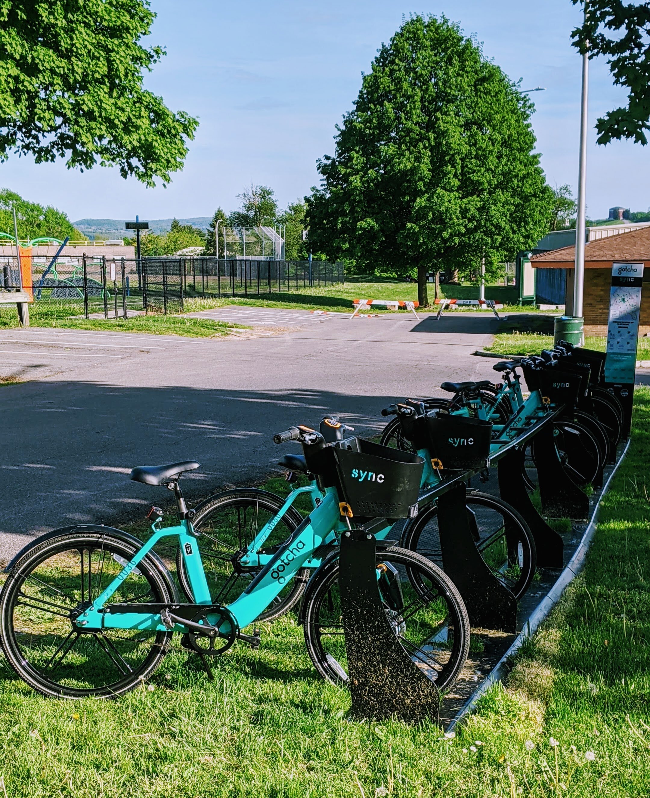
Gotcha’s Sync bikes in Burnet Park.
At its launch, Sync (the name for Syracuse’s bike share program) offered individual ride purchases but also offered a monthly and yearly pass. Monthly passes, which ran for $12 per month, offered a free 30 minutes per day with $0.10 a minute after 30 minutes, while yearly passes, which were $50 per year, offered one hour of free riding per day with $0.10 a minute for any additional minutes. While these weren’t as generous as the unlimited rides of up to 45 minutes offered by CitiBike in New York, the price came in at a fraction of the $180 for the annual pass, and the service area in Syracuse can easily be covered in under 30 minutes.
While Sync was successful, including seeing a large bump in usage during the Covid-19 pandemic, financial strain on Gotcha resulted in the program ending in the fall of 2020. The City rightfully decided to seek a new vendor to provide this service and accepted a bid by Veo Ride at the beginning of summer 2021.
So now that we’re caught up on the history, let’s take a look at the system we have now and ways that we can improve it so it can become a true alternative option for people to get around Syracuse.
The Pricing
The original Sync program was priced in a reasonable way that would be an extremely affordable alternative for most people within the City of Syracuse. Under Veo Ride, the system no longer lives up to that ideal.
Monthly and yearly passes have not been implemented at this point in time, requiring all users to pay for individual rides. E-bike rides are charged a $1 unlocking fee and $0.20 per minute, while scooters are charged a $1 unlocking fee and $0.31 per minute. For low-income users you can have the $1 unlocking fee waved. On the first day of operation I took a 15 minute ride from Downtown Syracuse to Destiny USA which cost around $5, so a $10 round trip. An Uber ride in Syracuse is usually not much more expensive, and a bus ride is $2 each way. By contrast, CitiBike costs $3.50 per ride up to 30 minutes, with $0.18 per minute after 30.
Now we may not be able to have prices and offerings at the same level as CitiBike, but if we want bike share to be a true option for people we need to provide affordable monthly/yearly passes so people feel empowered to take a ride as frequently as possible.
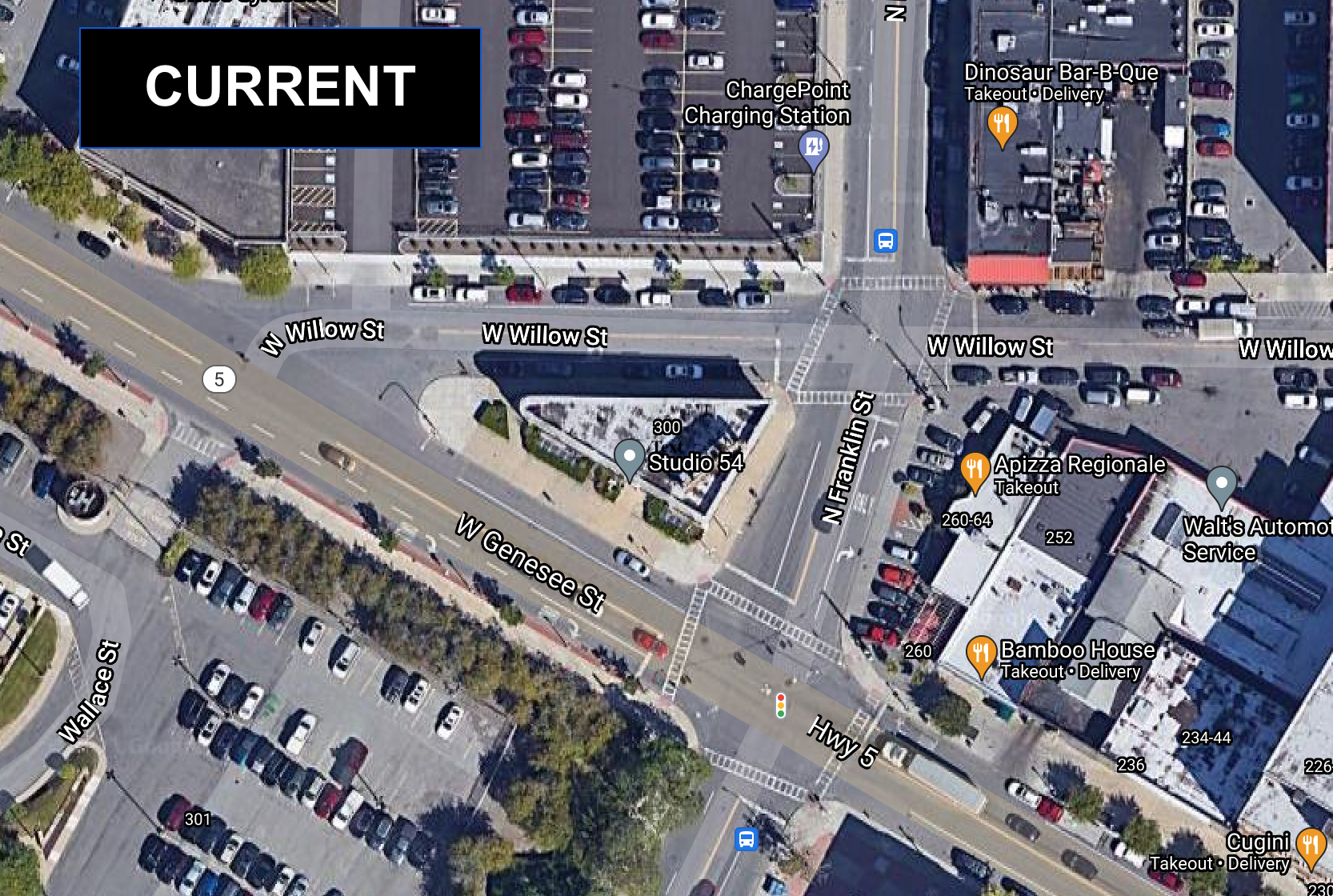
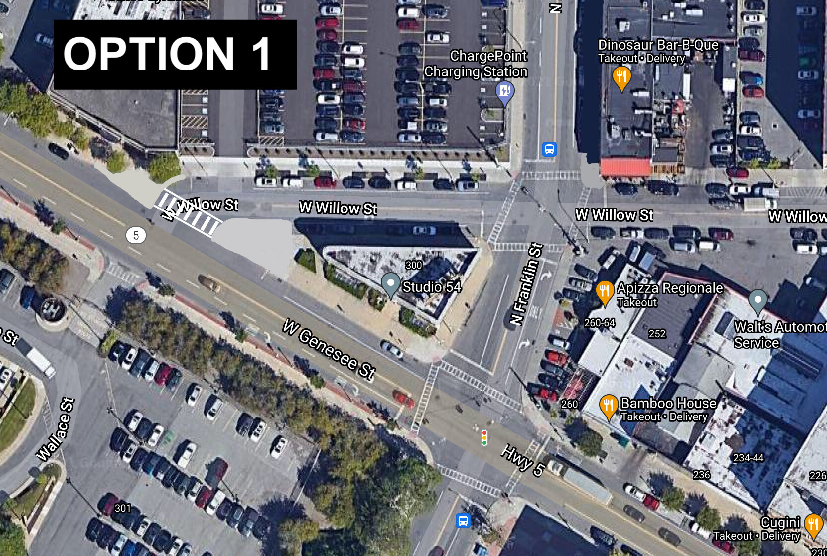
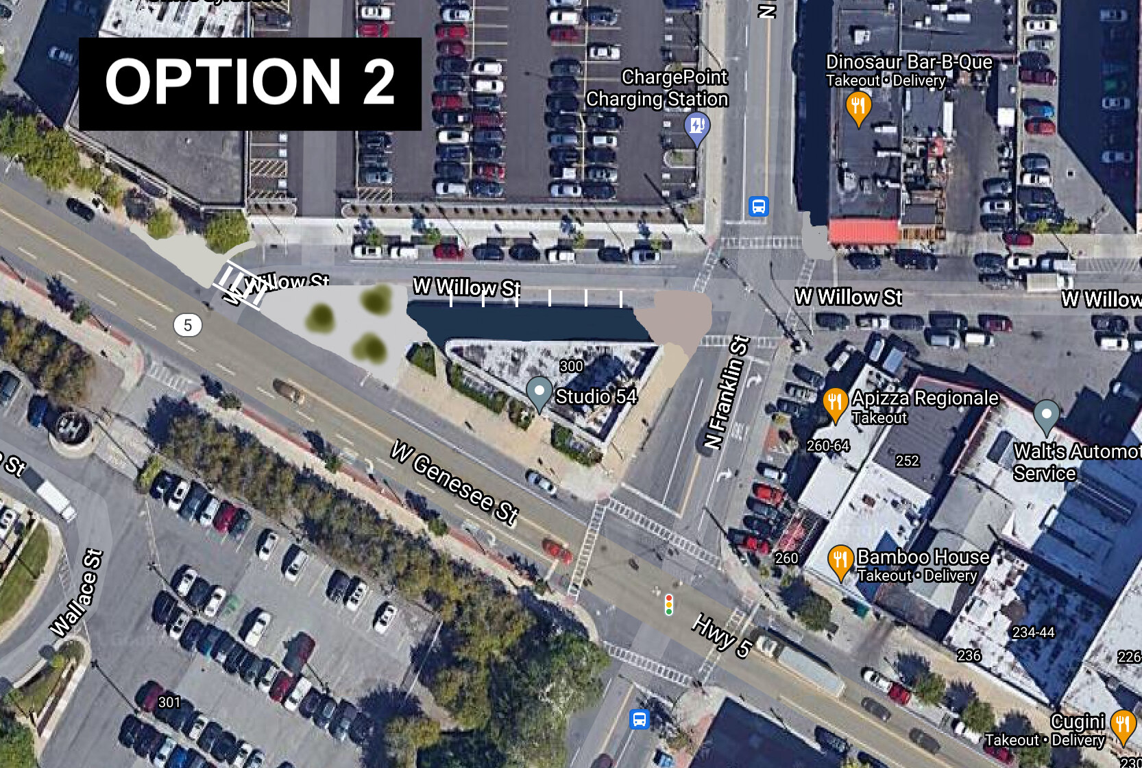
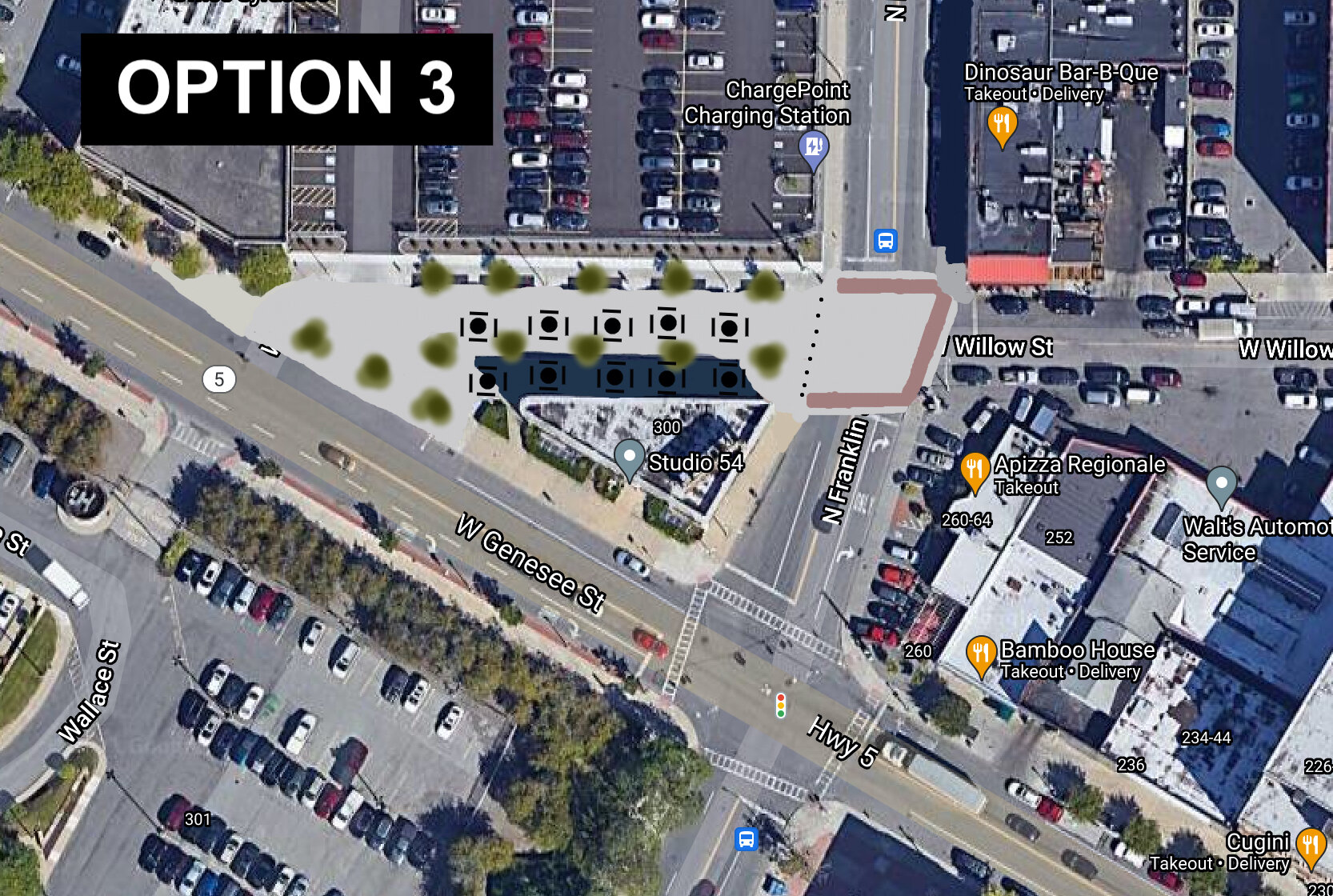
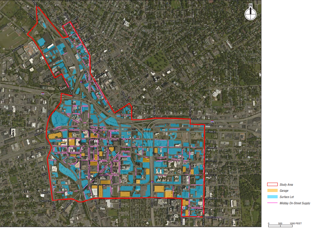
The Network Geography
The original bike station map for Sync. Station locations did not change in the switch over from Gotcha to Veo Ride.
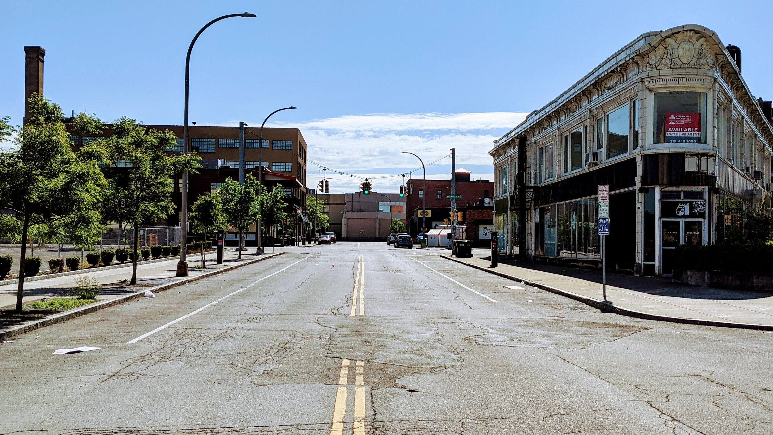
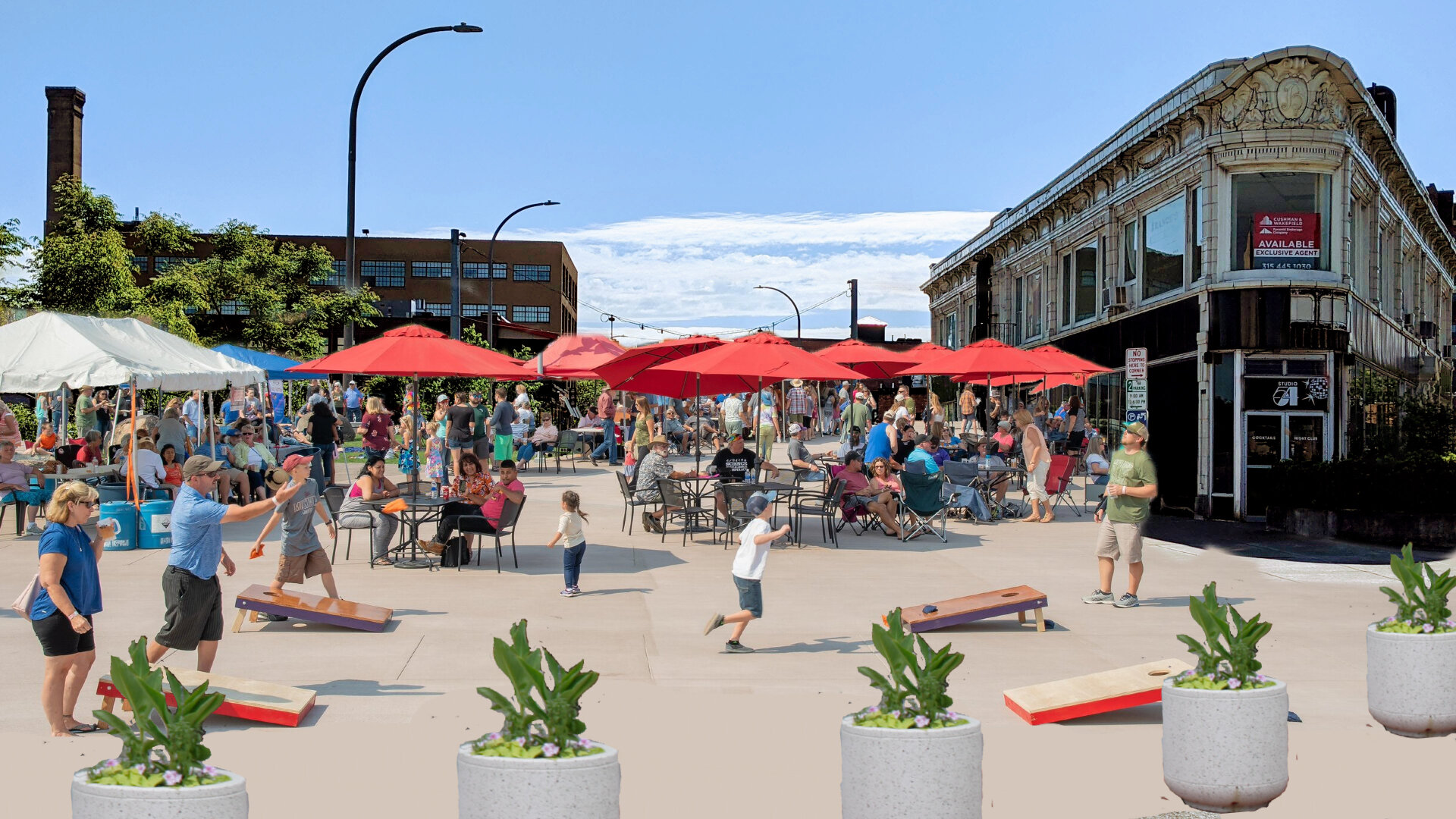
In the transition between Gotcha and Veo Ride the geography of Sync’s service stations did not change. Stations are located primarily around Downtown Syracuse and the surrounding neighborhoods. While the bikes and scooters utilized are dockless in nature, the stations remain key locations for individuals to look for bikes/scooters and can become transit hubs. The end goal for Sync is to eventually cover the entire city and hopefully convince some of the inner most suburbs to become part of the system as well. But we are currently leaving out important destinations in the network that should’ve been included as stations from the beginning.
The most obvious omission in the system is the lack of station access at Destiny USA. The nearest station to the mall is still around a 10-15 minute walk up the Creekwalk. As one of the largest employment centers in Onondaga County, let alone the City of Syracuse, missing this connection is a huge missed opportunity. This is especially glaring since the Creekwalk, which connects to Destiny USA’s property, is one of the premiere bike routes in the City and continues to grow into the Southside providing access to large population centers.
Near Destiny USA, we also miss connections to the Regional Market, Regional Transportation Center, and NBT Bank Stadium. A recent study by SMTC identifies ways to make this area more accessible for individuals on foot and on bikes, and is an important destination for many people who don’t have, or choose not to have, access to a car.
We should aim to have bike share stations at major bus stops in the region, helping it become a true last-mile option for many people. Even if the system is somewhat dockless, we need to provide hubs so residents can expect reliable access to a bike or scooter and not go searching near someone else’s house.
Bike share is back and we should all be excited about it. But we need to make sure its a system that is affordable and truly connects people. Let’s get to work!